2009.6.13.49.0249
·
Item
·
[between 1974 and 1978]
Parte de The Honourable Iona Campagnolo fonds
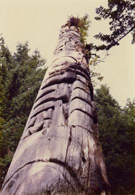
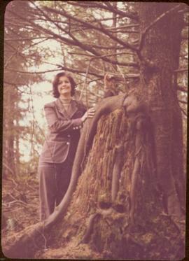
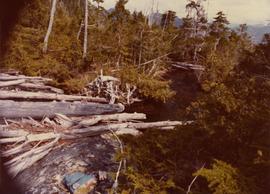
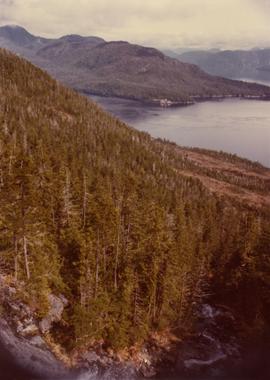
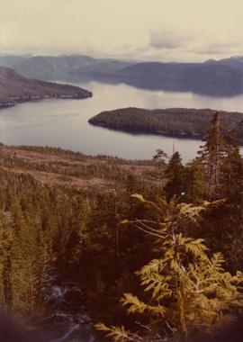
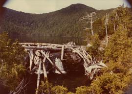
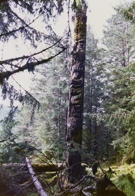
Photograph depicts a totem pole in a British Columbia rainforest, possibly on Haida Gwaii.