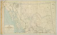
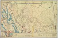
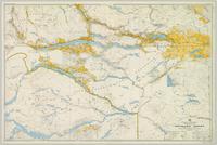
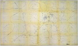
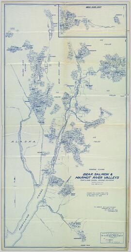
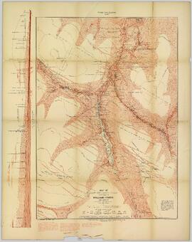
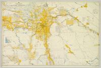
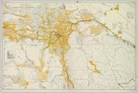
2008.2.011
·
Item
·
1926
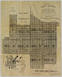
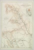
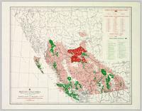
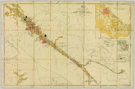
Part of NBCA Maps and Plans Collection
Geological topographic map. Geological Survey produced for the Department of Mines, Canada.