File consists of notes and reproductions relating to land exploration and surveying in British Columbia by Alfred R.C. Selwyn, who was a British geologist and public servant, director of the Geological Survey of Victoria from 1852 to 1869, director of the Geological Survey of Canada from 1869 to 1894, and President of the Royal Society of Canada from 1895 to 1896. Includes: "Photography: Mirror of the Past" American History magazine special edition (Sept. 1989) and a photocopied article "Ninety Years Later" by F.C. Swannell from The Beaver magazine (1956). File also includes reproduced photographs depicting scenes from Selwyn's exploration around British Columbia (1989).
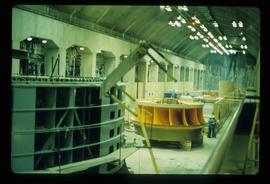
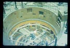
Image depicts a yellow turbine inside an unknown concrete structure, possibly somewhere in Fort St. John, B.C.
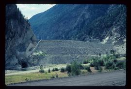
Image depicts the Terzaghi Dam viewed from the downstream side near Bralorne B.C.
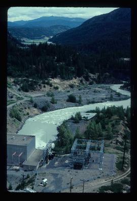
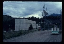
Image depicts the Lajoie hydroelectric generating station at the Lajoie Dam on the Bridge River (view of powerhouse and tailrace from top of dam).
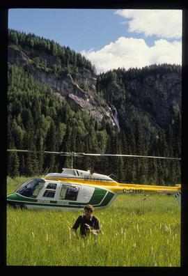
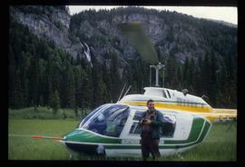
Image depicts the "Divides Lake Waterfall" as well as a man in front of a helicopter in the foreground.
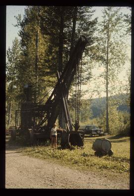
Image depicts a woman standing next to a steam shovel, located in Quesnelle Forks.
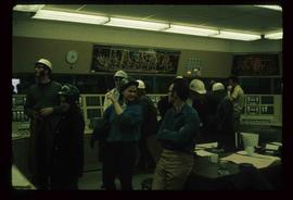
Image depicts numerous individuals wearing hard hats in what appears to be a computer room somewhere in Mackenzie, B.C.
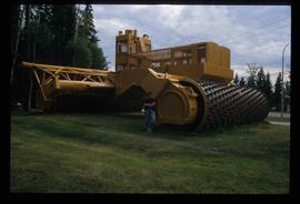
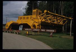
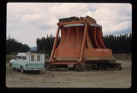
Image depicts an individual standing next to the world's largest tree crusher in Mackenzie, B.C.
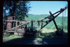
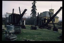
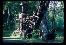
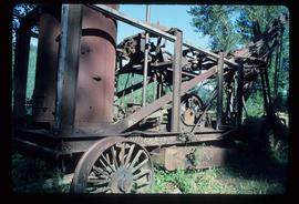
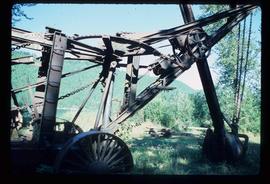
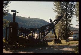
Image depicts a large, old piece of machinery, possibly some form of mining or prospecting equipment; it is located in Quesnelle Forks, B.C.
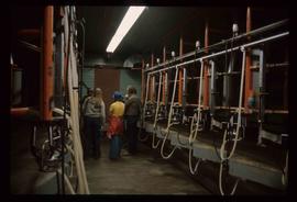
Image depicts numerous pieces of machinery in the interior of a building at a dairy farm, located somewhere near Quesnel, B.C. Several unknown individuals are present.
Image depicts an unknown individual standing next to a turbine located somewhere in Fort St. John, B.C.
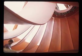
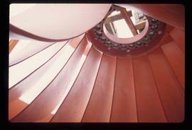
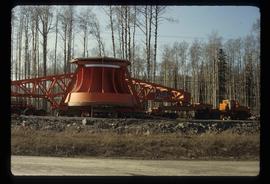
Image depicts a turbine located somewhere in Fort St. John, B.C.
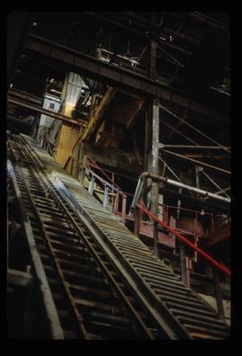
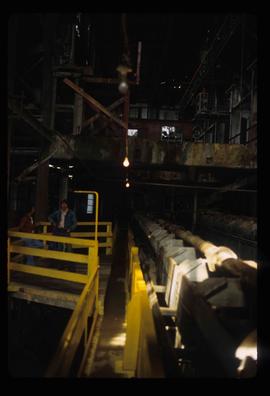
Image depicts a conveyor belt, possibly located inside one of the old buildings at what is possibly the closed Britannia Mine.
Image depicts a piece of industrial machinery, possibly located at the closed Britannia Mine. Two unknown individuals are also present in the image.
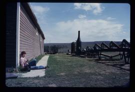
Image depicts numerous pieces of what appears to be old farming equipment. There is also an unidentified individual sitting aginst the side of a building. The location is possibly Fort St. John, B.C.
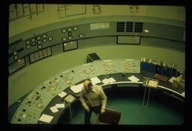
Image depicts what appears to be a computer room at an uncertain location, possibly in Fort St. John, B.C.
Image depicts old machinery, at the Atlin Museum in Atlin, B.C.
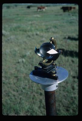
Image depicts a sunshine recorder at an uncertain location.
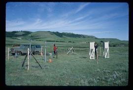
Image depicts two unidentified individuals and a van on a farm at an uncertain location, possibly a place called Cypress Hill, with an atmometer and a sunshine recorder.
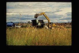
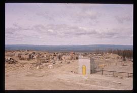
Image depicts numerous piles of logs, and two unidentified individuals operating an excavator with a "thumb" attachment during the demolition of the Upper Fraser town site. Map coordinates 54°06'51.6"N 121°56'26.3"W
Image depicts the Bridge River No. 1 hydroelectric station on the shore of Seton Lake (rear side of powerhouse).
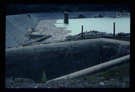
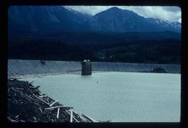
Image depicts the Lajoie Dam on the Bridge River, upstream side, showing part of Downton Lake and, in the foreground, the spillway intake.
Image depicts the world's largest tree crusher in Mackenzie, B.C.
Image depicts a turbine on the back of an industrial vehicle, located somewhere in Fort St. John, B.C. The slide is labelled "Site one dam; turbine prop. (Russian.)"
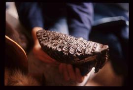
Image depicts a fossilised mammoth tooth found by Ray Mueller. Photograph taken at map coordinates 54.014188, -121.676973
Image depicts a large, old piece of machinery, possibly some form of mining or prospecting equipment; it is located in Quesnelle Forks, B.C.
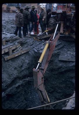
Image depicts several unknown individuals present as a piece of machinery is used to assist in the mining of gold at Mosquito Creek in Wells, B.C.
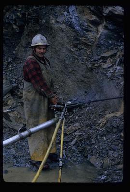
Image depicts a man using a piece of machinery for the mining of gold at Mosquito Creek in Wells, B.C.
Image depicts a man standing in front of a helicopter; a waterfall is visible on the cliffs in the background. The slide itself is labelled "BC Parks Tour."
Image depicts what appears to be a junkyard for old mining equipment at an uncertain location, though possibly near Gibraltar.
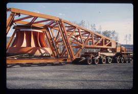
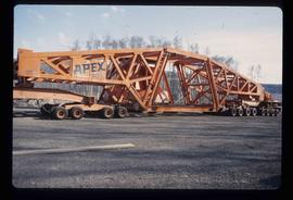
Image depicts a turbine on the back of an industrial vehicle, located somewhere in Fort St. John, B.C.
Image depicts a large, old piece of machinery, possibly some form of mining or prospecting equipment; it is located in Quesnelle Forks, B.C.
Image depicts a turbine on a large industrial vehicle somewhere in or near Fort St. John, B.C.
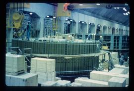
Image depicts numerous wood crates and large pieces of machinery in an unknown concrete structure, possibly somewhere in Fort St. John, B.C.
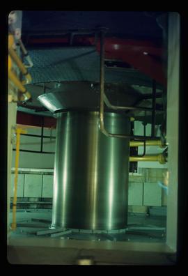
Image depicts a piece of machinery shaped like a large metal cylinder. It is possibly located somewhere in Fort St. John, B.C.
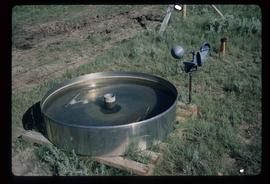
Image depicts an evaporation pan for water evaporation measurements. The location is uncertain.
File contains slides depicting weather balloons.
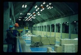
Image depicts two unidentified individuals in hard hats leaning against the railing of a large, open space inside an unknown concrete structure. It is possibly located in Fort St. John, B.C.
Image depicts two individuals at work inside what appears to be a piece of machinery. It is possibly located somewhere in Fort St. John, B.C.
Image depicts an orange turbine in Fort St. John, B.C.
File contains slides depicting various types of instruments at various locations, including Willow River.
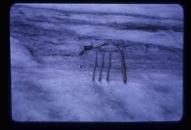
Image depicts a hand-held ice drill.
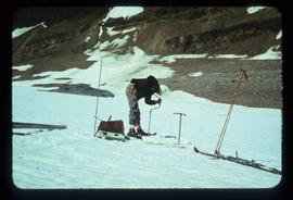
Image depicts an unidentified individual drilling into the ice.
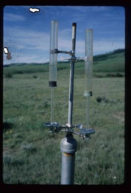
Image depicts an atmometer. According to the slide, it is being used for measuring the rate of water evaporation "from carborundum stone." The location is uncertain.
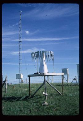
Image depicts a snow gauge at an uncertain location.
Image depicts a large, old piece of machinery, possibly some form of mining or prospecting equipment; it is located in Quesnelle Forks, B.C.
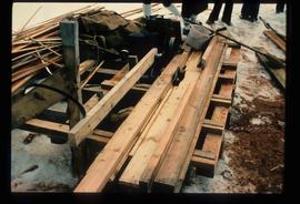
Image depicts a saw and numerous wooden boards at an uncertain location.
Image depicts the Lajoie Dam on the Bridge River from the upstream side.
Image depicts a steam shovel, located in Quesnelle Forks.
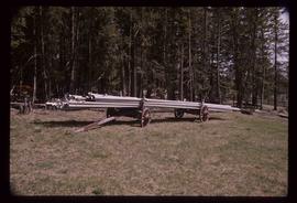
Image depicts a pile of irrigation pipes on a dairy farm somewhere near Quesnel, B.C.
