The David Davies Railway Collection encompasses all facets of railway history specifically in the province of British Columbia and the Yukon territory. The collection consists of research material accumulated over the course of more than fifty years, and includes monographs, periodicals, articles, clippings, railway timetables, photographs, maps and plans, and excerpts. Material covers public, tourist, and private (industrial) railways, including: CPR, KVR, E&N; CNR, CNoR, GTPR; and PGER, BCR. The collection excludes material regarding streetcar systems and rapid transit, but includes long distance electric interurbans.
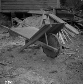
Photograph depicts a homemade wheel barrow with a leather covered wheel. It was outside an old timer's shed at Porpoise Bay, Sechelt village, on the Sechelt Peninsula.
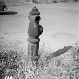
Photograph depicts one of the three remaining fire hydrants on location of the former Chinatown in Nanaimo, BCIt was provided and installed by the Chinese and not the city of Nanaimo. The hydrant had no identification marks.
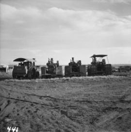
Photograph depicts a rear view of 4 of the 6 traction engines in Nanton, Alberta. The left engine was built by Reeves and Co. in Columbus, Indiana, U.S. Its identification is #4438, it has 2 cylinder simple, and a roof. The next engine was built by Waterloo Mfg. Co. Ltd. in Waterloo, Ontario and has a single cylinder. The third engine was built by Sawyer Massey. The engine on the right side is a Gaar Scott, built in 1913, and has 25 horsepower on the drawbar and 75 horsepower on the belt.
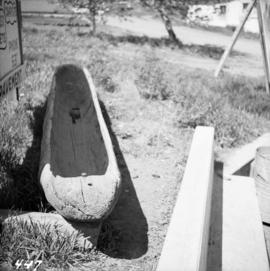
Photograph depicts a First Nations dugout canoe at Lillooet, BCIt is about 10 ft. long.
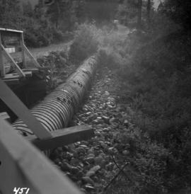
Photograph depicts a wooden pipeline carrying irrigation water in the Similkameen Valley, near Ashnola and Keremeos.
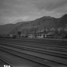
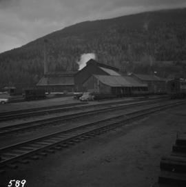
Photograph depicts a view of former C.P.R. steam locomotive sheds at North Bend, B.C. in the Fraser Canyon.
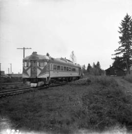
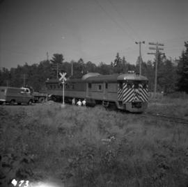
Photograph depicts a C.P.R. dayliner just leaving the Courtenay Depot and travelling south. This track is part of the Esquimalt and Nanaimo Railway.
Photograph depicts a southbound C.P.R. streamliner at the Mud Bay crossing on Vancouver Island. This part of track belongs to the Esquimalt and Nanaimo Railway, and the crossing is being re-sited.
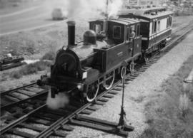
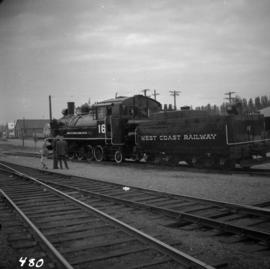
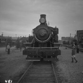
Photograph depicts a West Coast Railway Association locomotive and car at C.N. station, ready but not permitted to steam (federal ruling).
Photograph depicts a West Coast Railway Association 2-8-2 tank locomotive and tender at a C.N. station in Vancouver, B.C.
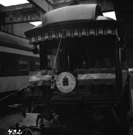
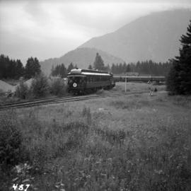
Photograph depicts the business car "British Columbia" (ex. C.P.R.) at the C.N. station in Vancouver. It is tailing the special to Hope, on its first run since acquisition by the West Coast Railway Association.
Photograph depicts train cars of the West Coast Railway Association on the reversing triangle at the C.N. station in Hope. The cars are apart of the special trip from Vancouver to Hope on August 8, 1964.
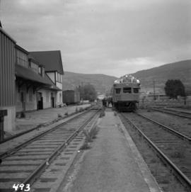
Photograph depicts a Sperry Rail service car #136 at the Penticton C.P.R. depot. It is for detecting faulty or broken rails and visits the area once a year. It is moving off to start work at mile 34 west of Penticton.
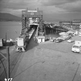
Photograph depicts the C.P.R. terminal in Vancouver. A C.P.R. switcher is collecting cars from the "Princess of Vancouver" at about 7 p.m.
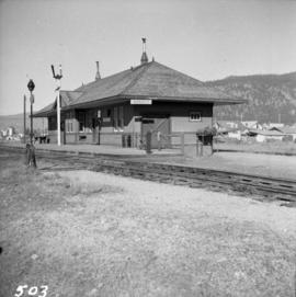
Photograph depicts the C.P.R. station at Golden, B.C. The view is looking east.
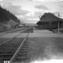
Photograph depicts the C.P.R. station at Merritt, halfway between Spences Bridge and Brockmere Junction. The line is in active use.
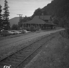
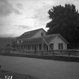
Photograph depicts the Cameron Lake station on the Alberni branch of the Esquimalt and Nanaimo Railway on Vancouver Island. It is no longer used but has been converted to a lodge. The view is looking west.
Photograph depicts the Dunsmuir crossing on the Esquimalt and Nanaimo Railway on Vancouver Island. It is 15 miles north of Parksville.
Photograph depicts a railway track crossover. The Comox Logging & Railway Co. tracks (left to right) cross the Esquimalt & Nanaimo tracks (bottom to top). The MacMillan Bloedel & Powell River Logging Railway tracks join the Esquimalt & Nanaimo Railway just above the crossing. The Velco Tower appears to the right of the crossing. This crossing is one mile north of Ladysmith, with the view looking north to Nanaimo.
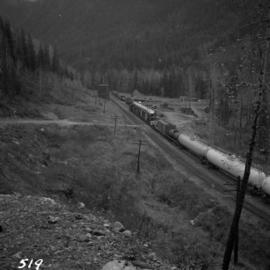
Photograph depicts the C.P.R. westbound freight train at passing loop at Illecillewaet, between Rogers Pass and Revelstoke. The April 25, 1965 CPR Employee timetable lists the mileage at Illecillewaet as 98.2 with a siding capacity of 85 cars.
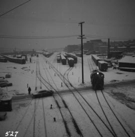
Photograph depicts the C.P.R. yards on Cambie St. in Vancouver, B.C. The view is looking west with False Creek on the left (out of the picture), after a snowfall.
Photograph depicts a former C.N.R. station at Youbou on Lake Cowichan on Vancouver Island. The track is still used to serve the plywood lumber mill at Youbou.
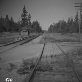
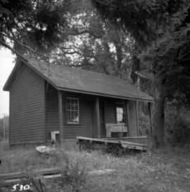
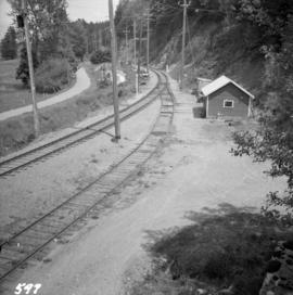
Photograph depicts the unused C.P.R. Shawnigan Lake section house on the Esquimalt and Nanaimo Railway. It is 27.8 miles outside Victoria.
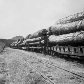
Photograph depicts a C.P.R. lumber train at Cowichan Lake to go to Crofton Mill on Vancouver Island.
Photograph depicts the C.P.R. bunk car in breakdown train at the Coquitlam yards.
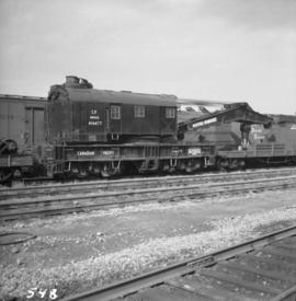
Photograph depicts a C.P.R. wrecking crane at the Vancouver station.
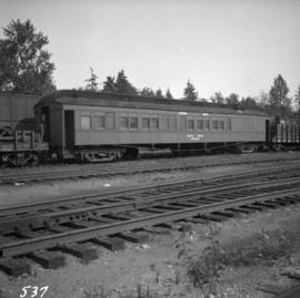
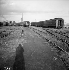
Photograph depicts a coach stock in the C.P.R. False Creek yards in Vancouver, B.C.
Photograph depicts the C.P.R. ferry slip at Kaslo on Kootenay Lake. It is in regular use.
Photograph depicts the C.P.R. depot at Goldstream on Vancouver Island. The view is looking towards Victoria.
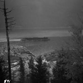
Photograph depicts a C.P.R. barge on Slocan Lake, travelling north just after leaving Slocan. It holds a complete train including a locomotive, eight cars, and a caboose.
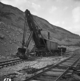
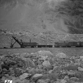
Photograph depicts equipment on a rail line.
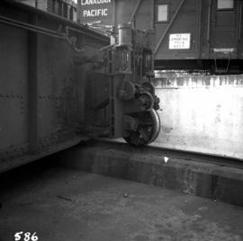
Photograph depicts equipment on a rail line.
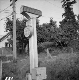
Photograph depicts a C.P.R. grade crossing warning device at Haney.
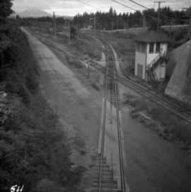
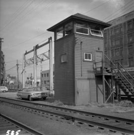
Photograph depicts a tower controlling the C.P.R. grade crossing at Alexander St. in Vancouver, B.C.
Photograph depicts a steam or air engine used for turning locomotive table at the Coquitlam yards.
Photograph depicts the C.P.R. engineering shops at Revelstoke. The view is looking north, with the line from Arrowhead behind the camera.
File consists of documentary photographs taken by David Davies of the B.C.E.R. in British Columbia.
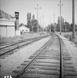
Photograph depicts a view looking northeast of the B.C. Electric Railway from the abandoned Sumas substation at Vedder Mountain.
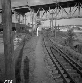
Photograph depicts the north end of the False Creek trestle, looking east towards the C.P.R. yards in Vancouver.
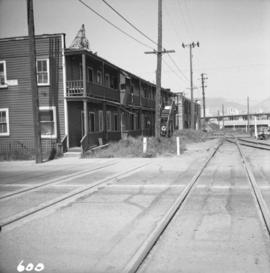
Photograph depicts the B.C. Electric Railway crossing 3rd Ave. with the first intersection at the immediate left. Note the abandoned double trackage at left. The view is looking north.
Photograph depicts the B.C. Electric Railway in Langley, looking northeast from town grade crossing.
Photograph depicts the B.C. Electric Railway crossing on Main St. in Langley, looking southwest.
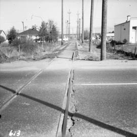
Photograph depicts the former B.C. Electric Railway track crossing Sea Island Way near Bridgeport, Lulu Island, and looking north to the Oak St. road bridge. The track was lifted in 1965 when the new Steveston route went into service.
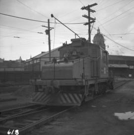
Photograph depicts a B.C. Electric Railway trolley electric locomotive #960, in freight yard below the Georgia Viaduct in Vancouver.
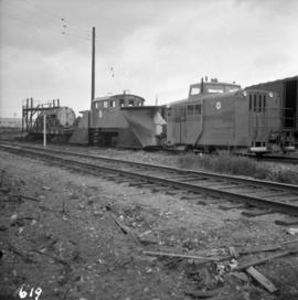
Photograph depicts special equipment opposite a car barn of the B.C. Electric Railway, at New Westminster.
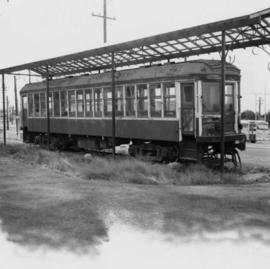
Photograph depicts car #1223 on display in south Burnaby beside the RCMP headquarters in Kingsway and Edmonds St., on site of the former track.
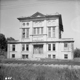
Photograph depicts the abandoned Sumas substation at Vedder Mountain.
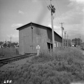
Photograph depicts a locomotive shed at Chilliwack. Note the electric conductor wire guard at the point where the doors meet at their tops.
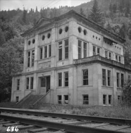
Photograph depicts a derelict substation on the B.C. Electric Railway at Coghlan, 9 rail miles east of Langley. Though marked "Langley", the building is sited as stated.
