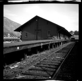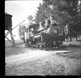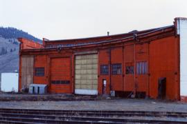
2013.6.36.1.153.02
·
Item
·
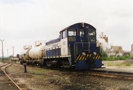
[June 1996]
Part of David Davies Railway Collection
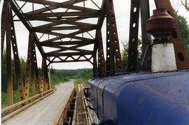
Photograph taken at the Northwood Pulp and Timber Ltd, Prince George. Visible is a General Motors switcher, built in 1959. Aqcuired in 1981. On private Northwood trackage with the mill in the background.