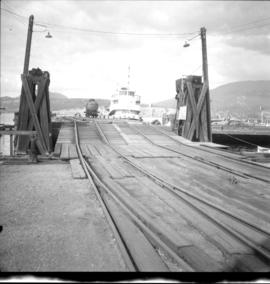
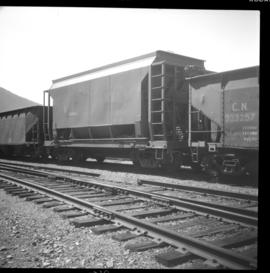
2013.6.36.1.055.16
·
Item
·
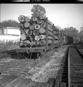
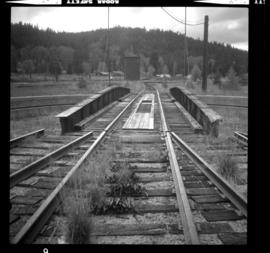
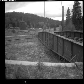
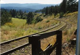
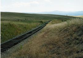
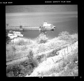
10 Aug. 1983
Part of David Davies Railway Collection
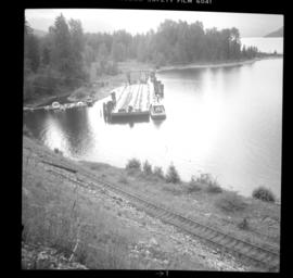
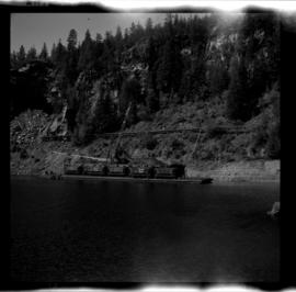
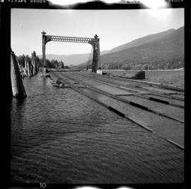
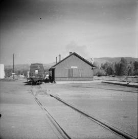
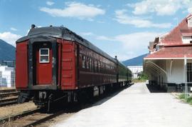
Photograph depicts barge #6 coupled to a rail barge slip at the northern end of Slocan Lake. A locomotive had already switched 3 cars onto the barge. It included 2 pole cars and a refrigerator box holding lumber.