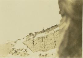
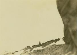
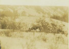
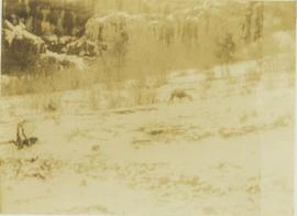
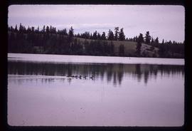
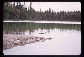
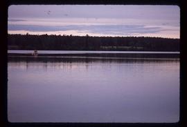
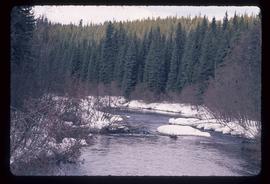
Footage of Bill Baker performing catch and release fly fishing in possibly the Bella Coola River or the Dean River for cutthroat trout.
foot of bighorn sheep on a rocky outcrop.
Location of filming is unknown.
Slide depicts a mixture of bighorn sheep and fallow deer around a trough. The photograph was taken in Kaleden, BC. Original slide index description: "illegible sheep & fallow deer, Kaleden."
Footage of Bighorn Sheep in the winter.
The location of filming is unknown.
Photograph depicts a big horned sheep standing on the edge of a steep, striated cliff.
Photograph depicts a big horned sheep standing amidst a bush covered valley with a snow-covered mountain in the background.
Photograph depicts a big horned sheep standing at the precipice of a snow-covered mountain ridge.
Photograph depicts a big horned sheep standing at the edge of a striated precipice.
Photograph depicts a big horned sheep standing at the edge of a precipice.
Photograph depicts a big horned sheep grazing in a brush covered area with the base of a hill in the background.
Photograph depicts a big horned sheep(?) grazing in a brush covered area with a forest in the background.
Photograph of a large explosion on what appears to be a shoreline. Printed annotation on recto reads: "'Big Blast' Prince Rupert. B.C."
Photograph shows a large explosion surrounded by clearcut brush. Some machinery is visible in the foreground. Annotation on recto reads: "Big Blast at Prince Rupert BC Aug 17/08 Allen Photo."
Image depicts the a flock of ducks on Big Bar Lake north of Clinton, B.C..
Image depicts two individuals on a canoe on Big Bar Lake north of Clinton, B.C..
File consists of a summary of research by research assistant Anna-Stina Kjellstrom, bibliographies relating to ethnobotany resources, a list of online resources, a list of archives with holdings relating to female recipients of Aboriginal ethnobotanical knowledge and a list of books suggested for interlibrary loan.
File consists of a list of books owned by Ainley; a list of bibliographies relating to the transfer of environmental knowledge from Aboriginal to Western women; bibliographies about First Nations from the Yukon and British Columbia; bibliographies relating to ethnobotany and traditional medicine; a bibliography of interlibrary loan suggestions; a bibliography of publications on carrier history and culture; a list of digitized women's travel writing from 1830 to 1930; and a list of citations from an unidentified publication.
File consists of reproductions and bibliographic references relating to Monkman Provincial Park.
Photograph depicts Bert Youngstrom leaning on one of two gas pumps in front of three long buildings. Trees can be seen in background, as well as snow all around. Steel drums an other miscellaneous material surround the buildings. Handwritten captions above and beside this photo read: "Bert Youngstrom" "Shop & Warehouse".
Image depicts the Berg Glacier and Mt. Robson.
Image depicts the Berg Glacier at Berg Lake in the Mt. Robson Provincial Park.
Image depicts the Berg Glacier and Berg Lake near Mt. Robson.
Photograph depicts benches after strip mining at Cassiar. Drill visible in distance, ore haul trucks on road in foreground.
Photograph depicts benches above open pit at Cassiar mine. Drills and haulpaks visible in centre image.
Image depicts Bellos Road, most likely in Red Rock, B.C.
File consists of a photocopy of a Canadian Journal of Fisheries and Aquatic Sciences (Vol. 45) article by Fausch entitled "Tests of Competition between Native and Introduced Salmonids in Streams: What Have We Learned?".
Foreground shows two rocky shores covered in dirt and wood debris, connected by a barely visible bridge. Annotation on recto reads: "Before the Blast Apr. 24th 13"
Image depicts an esker at Bednesti Lake, B.C.
Image depicts what appears to be a small ranch. The slide is labelled "Becher's Prairie," possibly meaning Becher's Prairie Provincial Park in B.C.
Image depicts a field of hay somewhere in Beaver Valley.
Image depicts the canoe group preparing to canoe on Beaver Pond, which is the start of Kibbee Lake.
Image depicts a snow sculpture of a bear, possibly during the Winter City Conference, in Prince George, B.C. Taken at the Prince George Civic Center. Map coordinates 53°54'45.6"N 122°44'59.6"W
Photograph depicts the head and skin of a bear on display in front of log building. Trees in background.
Image depicts a section of road running through the Bear River Gorge.
Image depicts what is possibly Bear River, flowing out from an opening in the Bear Glacier.
Image depicts what is possibly Bear River flowing past what is likely a section of the Bear Glacier.
Image depicts what is possibly Bear River in the Bear Glacier Provincial Park.
Image depicts the Bear River.
Image depicts what is possibly Bear River in the Bear Glacier Provincial Park.
Image depicts a view of Bear Pass, likely from Glacier Highway and somewhere in or near Bear Glacier Provincial Park, located north-east of Stewart, B.C.
Image depicts some houses in Bear Lake, B.C.
Image depicts the curling club and skating rink buildings in Bear Lake, B.C.
Image depicts the Crooked River in the Crooked River Pronvicial Park near Bear Lake, B.C.