2020.4.6.360.03
·
Item
·
10 Dec. 1993
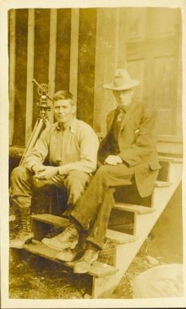
Part of G. Gary Runka fonds
Audio cassette titled "Tape 3 - Dec. 10, 1993 - 5:00-" is believed to be an audio recording of a workshop for the East Kootenay CORE project.