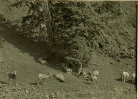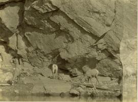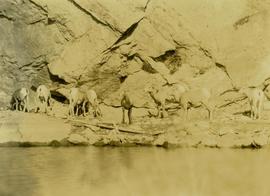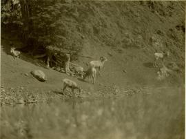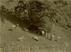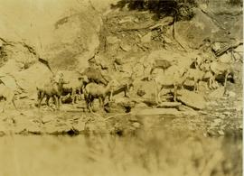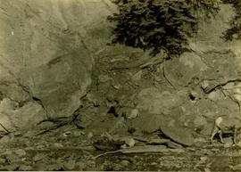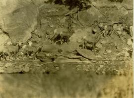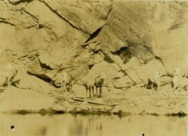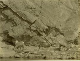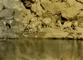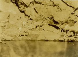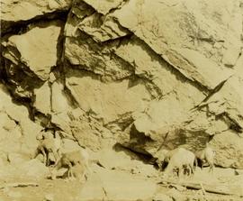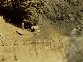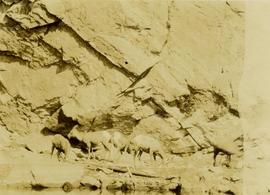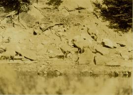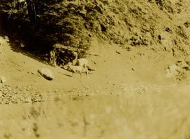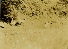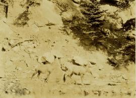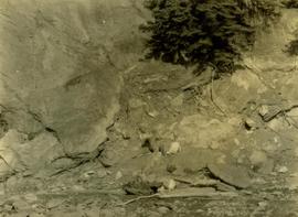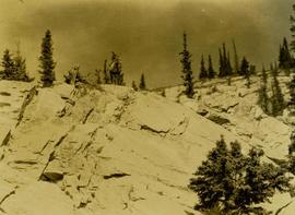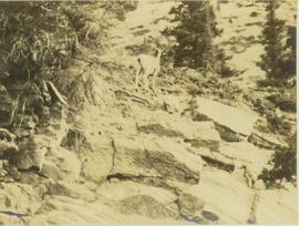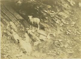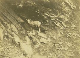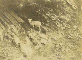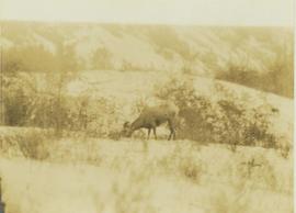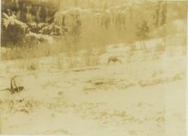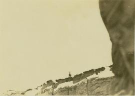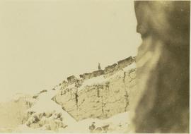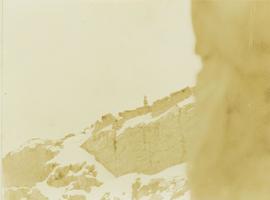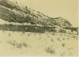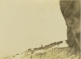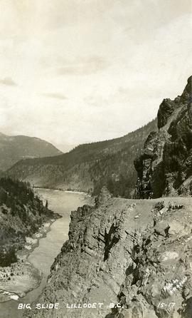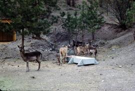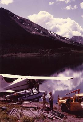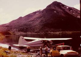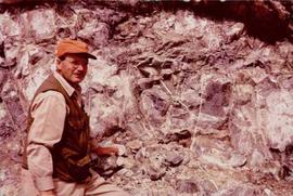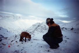
2000.19.3.290
·
Item
·
1928
Part of Prentiss Gray Collection
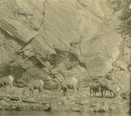
Location further identified as upper Torrens basin.