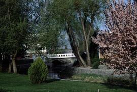
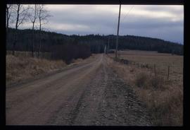
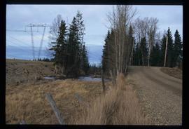
Slide depicts the park entranceway to Kelowna on the East side of the Okanagan Lake Bridge. Original slide index description: "Park entrance to Kelowna."
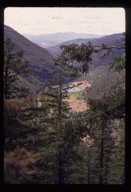
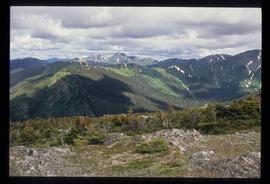
Image depicts a view of Kelly Lake Valley from Pavilion Mountain.
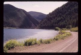
Image depicts a view of Kelly Lake in Downing Provincial Park.
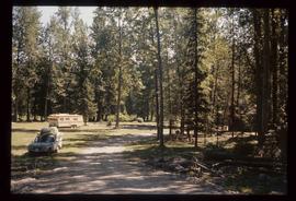
Image depicts a blue truck and a camper in the wooded area surrounding the townsite of Keithley Creek, B.C.
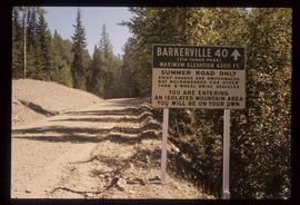
Image depicts a sign on the dirt road leading to Barkerville from Keithley Creek. The sign reads: "Barkerville 40 (via Yanks Peak) Maximum elevation 6200 FT. Summer road only. Steep grades and switchbacks not recommended for other than 4-wheel drive vehicles. You are entering an isolated mountain area; you will be on your own."
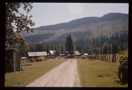
Image depicts the townsite of Keithley Creek, B.C.
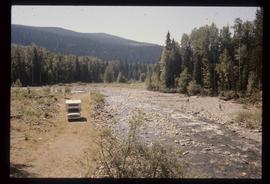
Image depicts the Keithley Creek, with several unknown individuals walking along the banks.
File contains slides depicting places in and around the Kamloops and Lillooet regions.
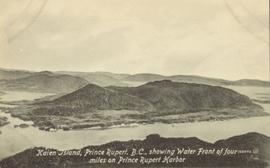
Lofty view of Kaien Island, with other islands in the background. Printed annotation on recto reads: "Kaien Island, Prince Rupert, B.C., showing Water Front of four miles on Prince Rupert Harbor."
File contains slides depicting places in and around the Junction Sheep Range Provincial Park south-west of Williams Lake.
Photograph depicts Judge William Dow Ferry looking over mountainous terrain (possibly Wakefield Park).
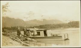
Boat floats close to shore in foreground, forest and hills on opposite shore in background. Joyce is the daughter of Bertha and W.E. Collison, and the granddaughter of Marion and Archdeacon W.H. Collison.
Handwritten annotation on verso reads: "Upper Nass River Sept. 1933. Joyce with Tom Moorhouse & the medical officer".
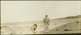
The pair stands on beach, Joyce leaning down in foreground (daughter of Bertha and Reverend W.E. Collison, and granddaughter of Marion and Archdeacon W.H. Collison). Water and shoreline in background.
Handwritten annotation on verso reads: “Joyce & Col. [Pragnell?] on North Beach QCIs (Old Massett)."
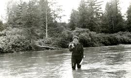
Joyce stands knee-deep in water, holding a long wrapped object, with a bundle resting on her shoulder (daughter of Archdeacon W.H. Collison's eldest son William Edwin). Trees and bushes visible on opposite shore in background.
Handwritten annotation on verso reads: "Joyce circa 1937 at Kincolith".
File consists of a photocopy of "Journal and Report of Preliminary Explorations in British Columbia" originally written in 1872 by A.R.C. Selwyn in Geologic Survey Report of Progress for 1871-72.
Photograph depicts a creek with canvas tents set up on the opposite shore. Survey of 55th parallel.
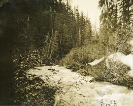
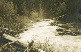
Photograph depicts a creek with forest on both sides.
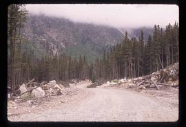
Image depicts a road, possibly Joffre Creek Road. The slide is simply labelled "Joffre cr."
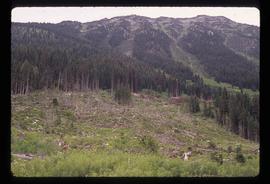
Image depicts a deer in the bottom left corner, as well as a view of a mountain side, somewhere at Joffre Creek.
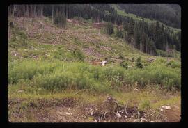
Image depicts a deer somewhere at Joffre Creek.
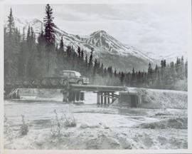
View of snow capped mountains in the distance, trees and river in mid ground. A Jeep type vehicle is on a bridge in the mid ground with river and sandbar in the foreground. Handwritten annotation on verso in pen reads: “Cassiar Road. Cottonwood River crossing”
File consists of notes and reproductions relating to a field trip to Jasper.
File consists of notes and clippings relating to Jasper and the Yellowhead Pass.
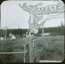
Photograph depicts James Joseph Claxton standing in front of a fence with a memorial pole in the background. The memorial pole depicts painted First Nations designs, with additional totem poles and houses visible in background. Handwritten annotation in pen on verso reads: “Jim Claxton 1959”
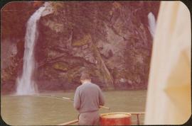
Photograph depicts a man on a boat standing with his back to the camera while holding a fishing rod. A waterfall and rocky cliff face are visible in the background. Handwritten annotation in pencil on verso reads: “Jim M.V. Columbia 1959”
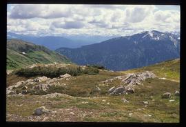
Image depicts a view of James Creek Valley.
Image depicts a view of James Creek Valley.
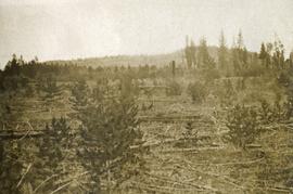
Photograph depicts fallen pine trees on a sparsely treed area.
This fonds consists of material created and collected by Kent Sedgwick, author, professor, Prince George urban planner, and prominent local historian. This body of records documents Sedgwick’s research interests in the history and geography of the Central Interior of British Columbia. The fonds also reflects his work as a Prince George Senior City Planner, his involvement in local community organizations, and his teaching at the College of New Caledonia and the University of Northern British Columbia.
The fonds includes:
1) Photographs taken by Kent Sedgwick across British Columbia, predominantly in the Central Interior region;
2) Research subject files consisting of original research documentation and collected reference material, predominantly focusing on topics relating to local history, city planning, and geography in the Prince George area and the British Columbia Central Interior;
3) Documentation of Kent Sedgwick’s community involvement, including records created over the course of his work with the Prince George Heritage Commission, , the Alexander Mackenzie Heritage Trail Association, and other local organizations;
4) Writings, publications, and lectures written, edited, or conducted by Kent Sedgwick;
5) Professorial records consisting of lectures and material relating to Sedgwick’s teaching appointments at the College of New Caledonia and the University of Northern British Columbia;
6) Maps collected by Kent Sedgwick covering historical and contemporary British Columbia.
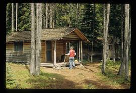
Image depicts an unknown individual in the J. Edwards Camp in South Tweedsmuir Provincial Park.
Item is an original 1974 map depicting Isle Pierre, published by the Department of Energy, Mines and Resources in Ottawa. Map includes pen markings.
Item is an original 1952 map depicting Isle Pierre in British Columbia, published by the British Columbia Department of Lands and Forests. Map includes pen markings.
Item is an original 1952 map depicting Isle Pierre British Columbia, published by the British Columbia Department of Lands and Forests.
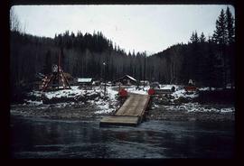
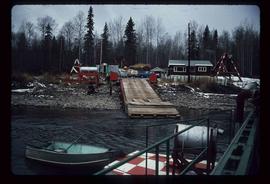
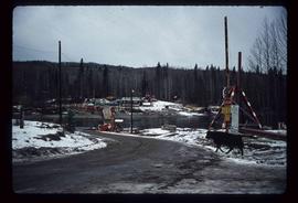
Image depicts the dock for ferries in Isle Pierre, B.C.
Image depicts the dock for ferries in Isle Pierre, B.C.
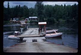
Image depicts the ferry at Isle Pierre, B.C.
Image depicts the ferry in Isle Pierre, B.C.
File contains slides depicting Island Cache on Cottonwood Island in Prince George, B.C.
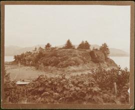
Small rocky island very near to shore depicted at low tide; sandy beach visible in mid ground along with a temporarily beached sailboat. Handwritten annotation in pencil on verso reads: “Ninstints site of the fort opposite village”.
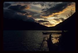
Image depicts the sunset over Isaac Lake from the Betty Wendle campsite.
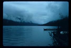
Image depicts Isaac Lake from the Betty Wendle campsite.
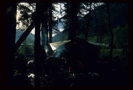
Image depicts a camp at the Betty Wendle campsite at Isaac Lake.
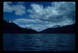
Image depicts Isaac Lake.
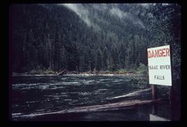
Image depicts a log jamb at the Isaac Falls.
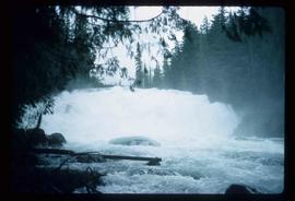
Image depicts the Isaac Falls.
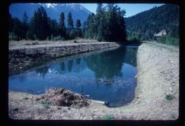
Image depicts what is possibly an irrigation channel somewhere in Seton Portage, B.C.
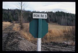
Image depicts the street sign for Iron Road South, which is located north of Woodpecker, B.C.
Image depicts Iron Road South, which is located north of Woodpecker, B.C.
Image depicts Iron Road North, and a creek surrounded by trees. Located north of Woodpecker, B.C.
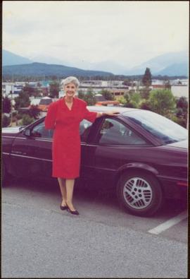
Mountains visible behind unknown town in background.
Item is one of nine photographs accompanying a greeting card from Agnes Hauglak, Addie Milewski’s sister, reading: “I though you might want these photos. I had to go and send every one their family things. Thank you for being kind to my sister Addie, Agnes M Hauglak”; see also items 2009.6.1.569 - 2009.6.1.577.
