2007.1.25.4.21
·
Item
·
1962
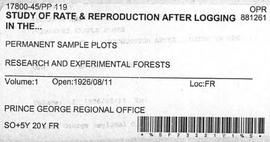
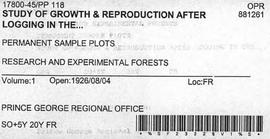
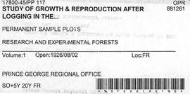
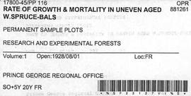
Part of Aleza Lake Research Forest fonds
Item is a copy of "Review of Cutting Practices in the Spruce-Balsam Stands" in the Prince George Forest District.