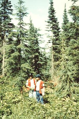
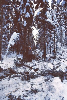
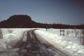
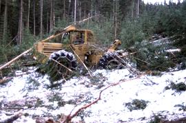
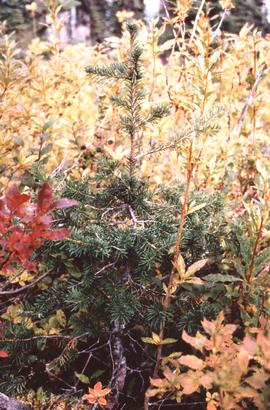
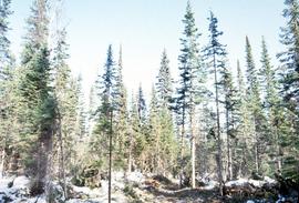
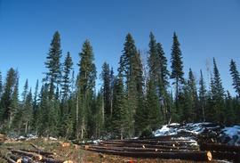
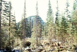
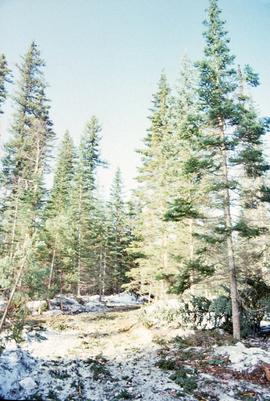
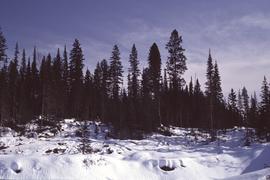
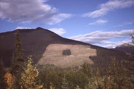
Annotation on slide: "Summit Lk".
Annotation on slide: "[mostly illegible] Km 3 [?] pinker [?] cubic block"
Annotation on slide: "Summit Lake, March 1992".
Annotation on slide: "Marked-to-cut tree with old scar, Summit selection trial".
No annotation on slide.
Forest cover map showing a crossing area of the McGregor River is annotated with a road and ferry crossing.
Annotation on slide: "Light residual basal area, Summit Lake, Summer '92, Jull".
No annotation on slide.
Annotation on slide: "Basal scarring on Douglas fir, Summit Lake".
Annotation on slide: "Blowdown due to butt rot (tomentosus), Summit Lake".
Annotation on slide: "Summit Lk., Mod. vol. removal".
No annotation on slide.
Annotation on slide: "Summit Lake M. Jull on skid road with advanced regen".
Large-format map depicts the Monkman Public Sustained Yield Unit (PSYU) east of Prince George.
Large-format map depicts the Monkman Public Sustained Yield Unit (PSYU) and Tree Farm Licence 30 east of Prince George.
Large-format map depicts Northwood Pulp & Timber operating areas in 1975.
Annotation on slide: "Plot 3 uncut control plot, Summit Lake".
Annotation on slide: "Plot 3, Summit".
Annotation on photograph verso: "South of plot 27, N of 18, 20. 15/1/92. Post-logging. Summit Lake Selection Trial"
Annotation on photograph verso: "View south of unit 27 Post-logging. 15/1/92. Summit Lake Selection Trial"
Annotation on photograph verso: "South of plots 27, 21. 15/1/92. (Post-logging). Summit Lake Selection Trial"
Annotation on photograph verso: "View from Jtn of A Road and Main Road to NE. Pre-logging. 15/1/92. Summit Lake Selection Trial"
Reproduced map on mylar depicts a proposed railway spur for the Aleza Lake Forest Experiment Station.
Annotation on slide: "20 cm radial growth on released subalpine fir, Summit Lk trial".
Slide depicts the Ranger Station at the Aleza Lake Experiment Station.
Slide depicts a burning building at the Aleza Lake Experiment Station on the date it was shut down by the BC Forest Service.
No annotation on slide.
Annotation on slide: "CP 57 Lower Burnt, January 1992, Rubber-tired skidder on road, R-O-W in advance regen, Dawson Crk district"
Annotation on slide: "BCMoF"
Slide depicts a sawmill in operation, likely located in the Upper Fraser area, with a pile of burning wood products and a beehive burner.
Map reproduction of the Sinclair Spruce Lumber Co. Ltd. T.S.H.L. A01848 C.P. 310 cutting area, likely in the Aleza Lake Research Forest.
Reproduced map on mylar depicts locations of elevations and benchmarks at the Aleza Lake forest.
Annotation on slide: "Summit Lake Select Trial: Resid. Basal Area Study".
Annotation on slide: "Summit Lake Single-Tree Selection Trial 1992".
Annotation on slide: "Summit Lake".
Annotation on slide: "Summit Lake, March 1992".
Slide depicts cleared ground and felled trees in a forested area, likely at the Aleza Lake Experiment Station.
Slide depicts a view of what is possibly the Upper Fraser River.
No annotation on slide.
Annotation on slide: "Lucille Mt. from Mt. Teare, Susan Stevenson, July 1994"
Annotation on photograph verso: "View SE from Jtn of A Road and Main Road. Uncut stand on left; selection logging virtually complete in centre and right. 15/1/92. Summit Lake Selection Trial"
Annotation on photograph verso: "July-Aug. 1991, View of Summit Lake EP 1162. Area from top of Teapot Mountain, looking east. Trial area is east of Crooked River, north of Caine Creek [Forest Service] Road, south of gravel pit (on right)".
No annotation on slide.
Annotation on slide: "Summit Lake trial, Teapot Mountain, Jull".
No annotation on slide.