2023.7.3.23
·
Item
·
Sept. 1979
Part of Grant Hazelwood fonds
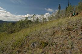
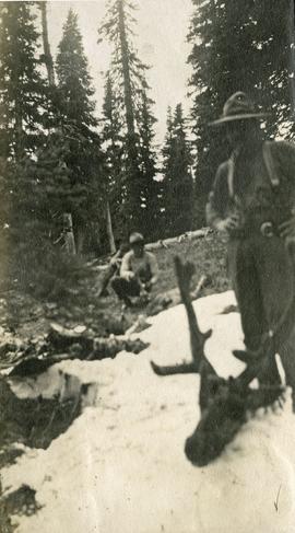
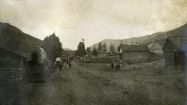
Item is a reproduction of a report by Grant Hazelwood entitled "Cathedral Provincial Park Horse Trip Report - September 18-22, 1979".