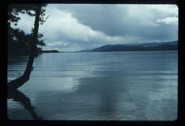
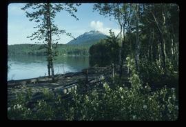
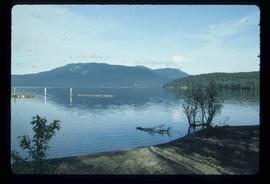
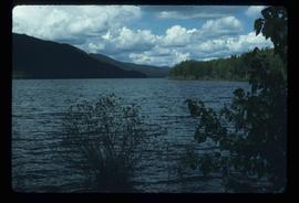
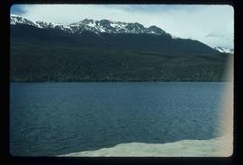
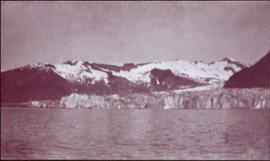
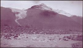
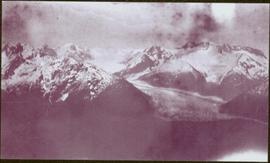
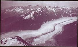
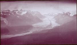
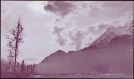
File contains slides depicting the Sunshine Coast.
File contains images of mine operations and construction, as well as a variety of other subjects.
- Elements of the underground mine are depicted, including miners working, the marked rock face, yellow ducting and ventilation fan, the portal, mesh rockbolted onto adit walls, shotcrete being applied, and stacked mining construction materials.
- Mining equipment depicted in this file includes underground ore haulage truck, Wabco ore haulage truck, jackleg drill, stoper drill, scoop tram, jumbo drill, conveyor, pickup trucks, unidentified mixing or grinding machine, a cable wagon and half constructed ore haulage truck in the shop, and a continuous miner (also known as alpine miner or roadheader).
- A set of images show a dozer and a lowbed truck transporting a temporary building down the pit mine access road.
- Several images depict drill core fragments, asbestos ore, and geological features of the mine.
- Mining related process are depicted, including a young man sluicing and panning, a mine building under construction, and an unidentified steel frame structure with a hydraulic device suspended on a rail.
- A set of images shows a railway or highway construction project, including stockpile of construction materials, rail cars, caboose, locomotive, front end loader, dump truck, concrete mixing trucks, semi-trucks, and a rail car with large steel drums which are speculated to be specialized for tunnel construction.
- Further images show what is speculated to be tunnel construction.
- A set of images at a high ceiling underground mine which is not Cassiar depicts a man in a suite by a underground ore haulage truck, and other mining vehicles including a crane.
- A set of images depict an ungulate herd, possibly bighorn sheep, on a mountain side.
- The file includes several images which depict personal life, presumably from a family vacation, and access to these images may be restricted. These images depict man with children on a fishing trip, adults and children around a pool, a woman on a motorcycle, and a house and kitchen. Several groups of images are contained in envelopes annotated with dates and “K. Minty”.
Photograph depicts two men in front of three large trucks believed to be used for ore haulage. Mountains in background. Handwritten annotation on recto of photograph: "Int. Harvester Payhaulers Model 95 / Left: R.R. [Kiresan?] Equipment Supt. / Right: C.E. Bronson Asst. Gen. Supt.", on verso: "1961".
Item is an original 1955 map depicting surficial geology of Anahim Lake, British Columbia published by the Geological Survey of Canada.
Image depicts objects, including a flag pole, that the slide labels as "survey equipment." The slide also places it as a "Peyto icefall," on the Peyto Galcier in the Banff National Park in Alberta, B.C.
Photograph depicts cut alders, a long straight line through the forest.
File consists of notes and reproductions relating to the survey of Prince George. Includes material on survey plans, lots in Prince George, original town planning, subdivision plans, and Kent Sedgwick's handwritten notes on surveying and town planning in Prince George. File primarily includes photopied maps depicting town lots and planning in Prince George. Includes: "RE: Title Search for Fairgrounds" typescript letter from Kent Sedgwick to Dr. Dick Rowe (26 Apr. 1990) and "Map showing South Fort George, Fort George (Central) and the additions surveyed in 1910 or later" reproduced map from the Fort George Tribune newspaper.
Photograph depicts a large concrete post with dirt mounded around.
Consists of 3 legal-size copies of drawings of and a surveyor's report on Lot 7392. Includes drawings of lot, and a note reading : "This is a foreshore Lot in front of Part of Lot 45, Village of Port Essington"
File contains slides depicting old survey equipment and maps.
File consists of notes and reproductions relating to the Sutherland Colony in Brooks, Alberta.
Photograph depicts a view of a forested valley, a human figure stands on a path in the midground.
Photograph depicts a view from the water looking toward Swanson's Bay, BC.
Image depicts numerous unknown individuals swimming in a lake or standing on a dock at an uncertain location.
Image depicts grooves on Tabor Mountain in Prince George, B.C.
Image depicts grooving on Tabor Mountain in Prince George, B.C.
Image depicts a view of Tabor Lake.
Image depicts the Tabor Lake Subdivision in Prince George, B.C.
Image depicts a view of the area around Tabor Mountain in Prince George, B.C.
Image depicts Tabor Mountain in the distance, located in Prince George, B.C.
Image depicts a view of the area around Tabor Mountain in Prince George, B.C.
Image depicts Tabor Mountain from the airport in Prince George, B.C.
Image depicts a view of Prince George, from Gunn Point in the L.C. Gunn Park.
Image depicts a forest of dead trees on the slopes of Tabor Mountain in Prince George, B.C.
File contains slides depicting recreational activities on Tabor Mountain in Prince George, B.C.
Image depicts two cabins on the shore near the lodge at Takla Lake.
Image depicts a view of Takla Lake from a cabin on the "west arm."
Image depicts a lake viewed "south-east from lodge;" it is possibly Takla Lake.
Image depicts a cabin on the "west arm" of Takla Lake.
Image depicts a lake with a mountain in the distance, viewed "west from lodge;" it is possibly Takla Lake.
Image depicts a lake, viewed "west from lodge;" it is possibly Takla Lake.
Image depicts Takla Lake west of Leo Creek.
Image depicts the government houses located at the Takla Landing.
Photograph depicts two unidentified men standing and sitting at campfire by large fallen trees. Forest and mountains in background. Handwritten annotation on negative: "[?] Taken Near Kopoka".
Image is one of 65 photos documenting a survey of the Canada-Alaska Boundary, Taku River area, May 23 to Oct. 15, 1906.
This particular photo is one of 8 found in original enclosure with the following handwritten annotation: "From main camp up Kopoka River. Scenes with persons in." See also items 2006.20.3.14 - 2006.20.3.21.
Photograph depicts tent among trees, hills visible in background.
Image is one of 65 photos documenting a survey of the Canada-Alaska Boundary, Taku River area, May 23 to Oct. 15, 1906.
This particular photo is one of 13 found in original enclosure with the following handwritten annotation: "Kopoka River - river scenes Aug 29 to Oct. 9 [19]06". See also items 2006.20.3.1 - 2006.20.3.13.
Mountains stand behind water in background. Handwritten annotation on negative: "looking [over?] Kopoka".
Image is one of 65 photos documenting a survey of the Canada-Alaska Boundary, Taku River area, May 23 to Oct. 15, 1906.
This particular photo is one of 13 found in original enclosure with the following handwritten annotation: "Kopoka River - river scenes Aug 29 to Oct. 9 [19]06". See also items 2006.20.3.1 - 2006.20.3.13.
Water spans foreground, cliffs cross midground, mountains stand in background.
Image is one of 65 photos documenting a survey of the Canada-Alaska Boundary, Taku River area, May 23 to Oct. 15, 1906. This particular photo is one of 5 found in original enclosure with the following handwritten annotation: "Boundary No.2 camera Sta. Twin Lake & Glacier.” See also items 2006.20.3.42 - 2006.20.3.46.
Photograph depicts river and rocky shores, glacier visible on mountain in background. Handwritten annotation on negative: "Glacier [?] Kopoka".
Image is one of 65 photos documenting a survey of the Canada-Alaska Boundary, Taku River area, May 23 to Oct. 15, 1906.
This particular photo is one of 13 found in original enclosure with the following handwritten annotation: "Kopoka River - river scenes Aug 29 to Oct. 9 [19]06". See also items 2006.20.3.1 - 2006.20.3.13.
Photograph depicts valley in snowy mountain range. Handwritten annotation visible on negative: "Pan. From Camera Sta no w. looking at [?] Glacier."
Image is one of 65 photos documenting a survey of the Canada-Alaska Boundary, Taku River area, May 23 to Oct. 15, 1906. This particular photo is one of 5 found in original enclosure with the following handwritten annotation: "Boundary No.2 camera Sta. Twin Lake & Glacier.” See also items 2006.20.3.42 - 2006.20.3.46.
Image is one of 65 photos documenting a survey of the Canada-Alaska Boundary, Taku River area, May 23 to Oct. 15, 1906. This particular photo is one of 10 found in original enclosure with the following handwritten annotation: "From [Wahut?]-Azmuth and Koshu.” See also items 2006.20.3.48 - 2006.20.3.56.
Photograph depicts wide glacier winding through mountain range.
Image is one of 65 photos documenting a survey of the Canada-Alaska Boundary, Taku River area, May 23 to Oct. 15, 1906. This particular photo is one of 10 found in original enclosure with the following handwritten annotation: "From [Wahut?]-Azmuth and Koshu.” See also items 2006.20.3.47 - 2006.20.3.56.
Photograph features iceberg floating in water, mountains on shore in background.
Image is one of 65 photos documenting a survey of the Canada-Alaska Boundary, Taku River area, May 23 to Oct. 15, 1906. This particular photo is one of 7 found in original enclosure with the following handwritten annotation: "Around River Taku and main camp on same." See also items 2006.20.3.35 - 2006.20.3.41.
Photograph depicts glacier in valley below mountains. Handwritten annotation on negative: "K. Glacier [...illegible]".
Image is one of 65 photos documenting a survey of the Canada-Alaska Boundary, Taku River area, May 23 to Oct. 15, 1906.
This particular photo is one of 13 found in original enclosure with the following handwritten annotation: "Kopoka River - river scenes Aug 29 to Oct. 9 [19]06". See also items 2006.20.3.1 - 2006.20.3.13.
Photograph depicts river water in foreground, mountains in background. Handwritten annotation on negative: "Looking down Kopoka River from main camp."
Image is one of 65 photos documenting a survey of the Canada-Alaska Boundary, Taku River area, May 23 to Oct. 15, 1906.
This particular photo is one of 13 found in original enclosure with the following handwritten annotation: "Kopoka River - river scenes Aug 29 to Oct. 9 [19]06". See also items 2006.20.3.1 - 2006.20.3.13.
Photograph depicts rocks among river rapids, opposite shore in background. Handwritten annotation on negative: "Rough water rap".
Image is one of 65 photos documenting a survey of the Canada-Alaska Boundary, Taku River area, May 23 to Oct. 15, 1906.
This particular photo is one of 13 found in original enclosure with the following handwritten annotation: "Kopoka River - river scenes Aug 29 to Oct. 9 [19]06". See also items 2006.20.3.2 - 2006.20.3.13.
Photograph depicts river water in foreground, mountains in background. Handwritten annotation on negative: "Rough Water, Kopoka".
Image is one of 65 photos documenting a survey of the Canada-Alaska Boundary, Taku River area, May 23 to Oct. 15, 1906.
This particular photo is one of 13 found in original enclosure with the following handwritten annotation: "Kopoka River - river scenes Aug 29 to Oct. 9 [19]06". See also items 2006.20.3.1 - 2006.20.3.12.