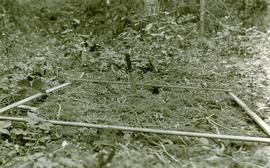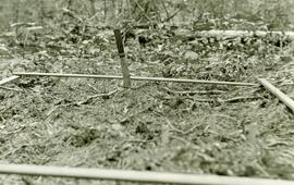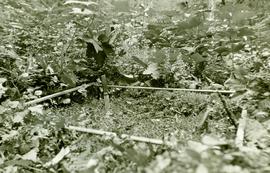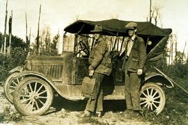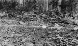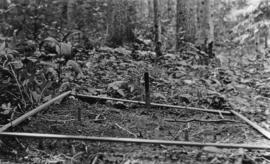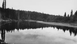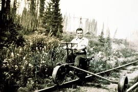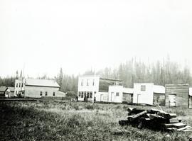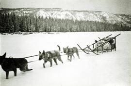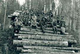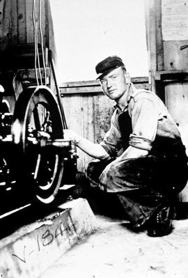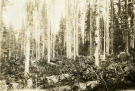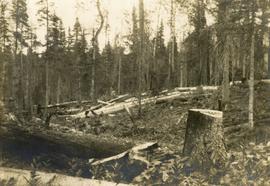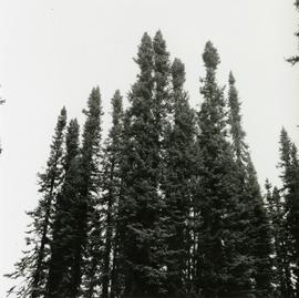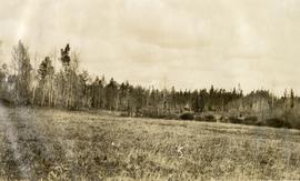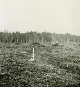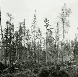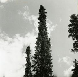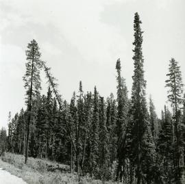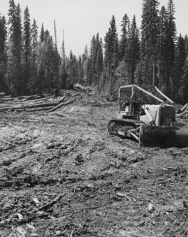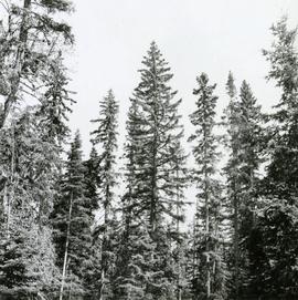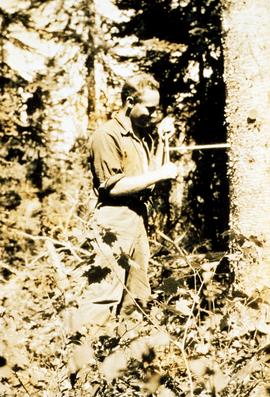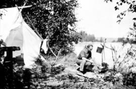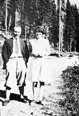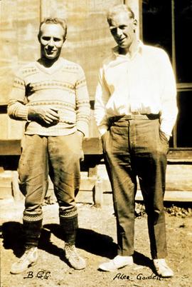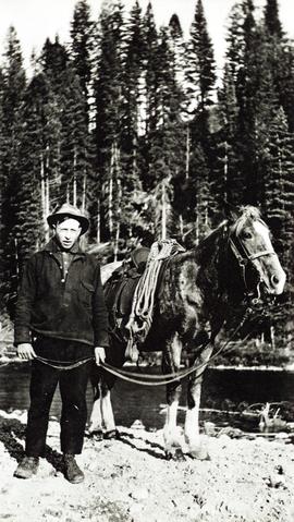
2007.1.45.27.2
·
Item
·
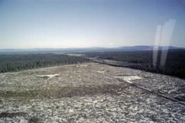
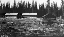
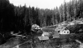
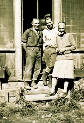
1935
Part of Aleza Lake Research Forest fonds