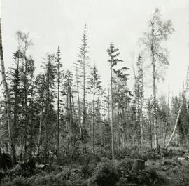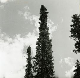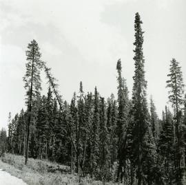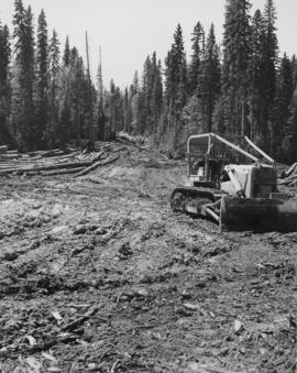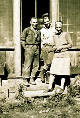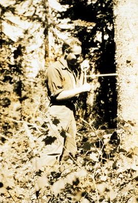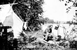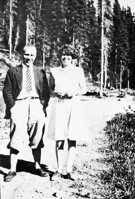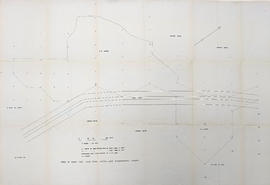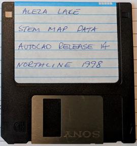
2007.1.20.2.10
·
Item
·
Feb. 1991
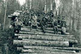
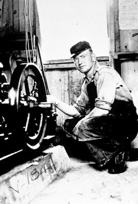
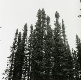
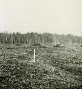
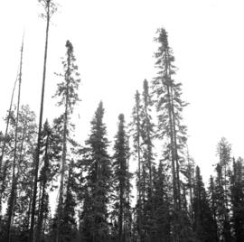
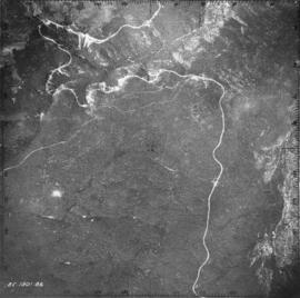
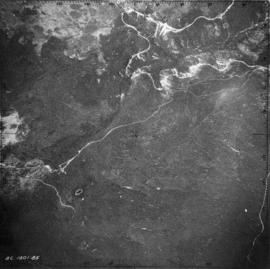
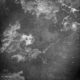
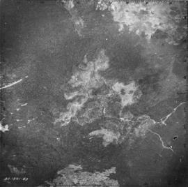
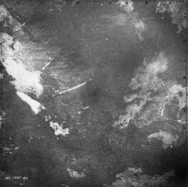
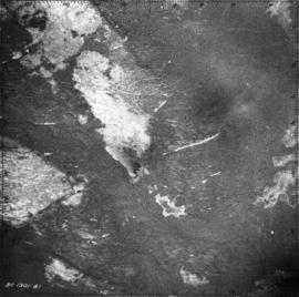
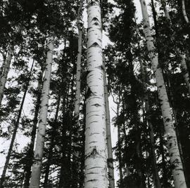
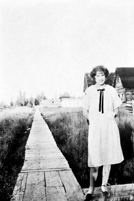
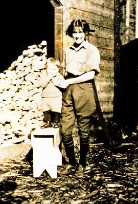
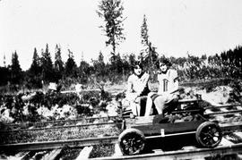
Part of Aleza Lake Research Forest fonds