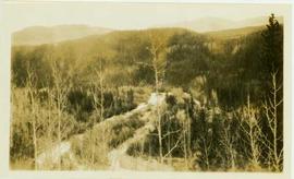
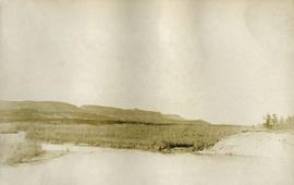
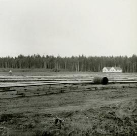
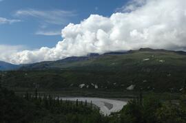
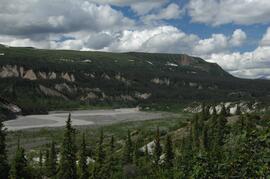
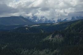
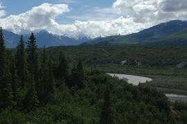
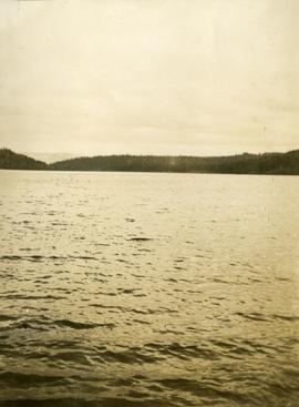
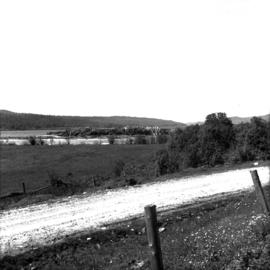
Caption describing photograph: "Eaglet Lake, Giscome. Low land lacustrine deposits. Cleared for forage crops and pasture. Willow and alder on right - typical cover prior to clearing. Refer to GBW Film 1 Frame 3 ( 2007.1.30.2.003 )"
Photograph depicts a creek running through a heavily forested landscape. Handwritten annotation on verso of photograph reads: "View down creek from lower part of Cos' property. Germansen Placer Ltd."
Photograph depicts a creek running through a forested landscape. Handwritten annotation on verso of photograph states: "View up Germansen Creek"
Photograph depicts Lheidli T'enneh Nation burial grounds in foreground, Hudson Bay Company buildings in background.
No annotation on slide.
Annotation on slide: "Lucille Mt. from Mt. Teare, Susan Stevenson, July 1994"
Photograph depicts a snowy mountain range to the south of Wedge Creek with a forested area at the base.
Photograph depicts a view of Nechako River near junction of Stuart River.
Photograph depicts a view of lot 912 near Nechako River.
Annotation on photograph verso: "View SE from Jtn of A Road and Main Road. Uncut stand on left; selection logging virtually complete in centre and right. 15/1/92. Summit Lake Selection Trial"
Photograph depicts a man standing on the deck of a ferry boat. A long row of building line the riverbank in the background.
Caption describing photograph: "1920 horse logging. View of residual stand. Devils Club site. Imperfectly drained silty clay. Very good growth, form and vigour. East Loop Road, F.E.S. Aleza Lake." Harry Coates stands in the photograph for scale.
Annotation on photograph verso: "July-Aug. 1991, View of Summit Lake EP 1162. Area from top of Teapot Mountain, looking east. Trial area is east of Crooked River, north of Caine Creek [Forest Service] Road, south of gravel pit (on right)".
No annotation on slide.
Annotation on slide: "Summit Lake trial, Teapot Mountain, Jull".
No annotation on slide.
Photograph is part of a series of photographs depicting Olin Corporation's Fria location.
No caption provided with photograph. Similar photograph has the following caption: "View of transplant and seed bed areas, established Spring 1966. Buildings moved from Forest Service warehouse site on 15 Ave."
Caption describing photograph: "View of transplant and seed bed areas, established Spring 1966. Buildings moved from Forest Service warehouse site on 15 Ave."
Photograph depicts a view of Victoria from a ship in the Inner Harbour. Visible on the shore, from right to left, are: the Empress Hotel, the Belmont, the Customs Building, and other buildings along Douglas Street.
Photograph depicts ditch constructed on the hill of a forested environment. Handwritten annotation on verso reads: "View showing part [of] new ditch - fully logged and braced, Germansen Placer Ltd."
Photograph depicts looking across the water of Babine Lake toward low forested hills. [55th parallel]
Photograph depicts looking down on a snowy mountain ridge.
Photograph depicts looking up a snowy slope to a rocky peak.
Photograph depicts a view from a mountain summit looking across the valley to forested mountain slopes with snowy mountain tops.
Photograph depicts an alpine meadow with a mountain ridge in the background.
Photograph depicts a few of forest in the foreground, a snowy mountain range in the distance.