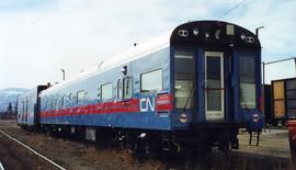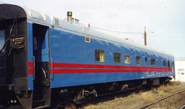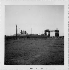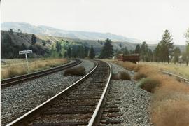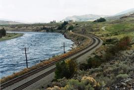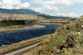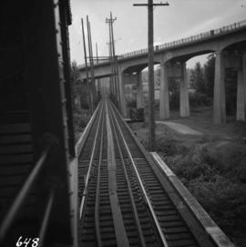
2013.6.36.1.119.07
·
Item
·
[May 1992]
Parte de David Davies Railway Collection
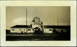
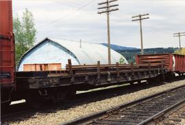
Photograph depicts trackage near the CPR depot in Salmon Arm.