2014.10.1.256
·
Item
·
1913
Parte de Arthur Holland Land Surveying Collection
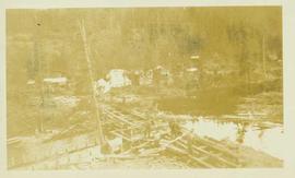
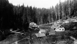
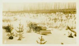
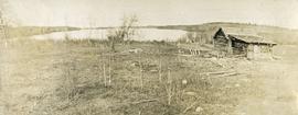
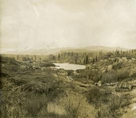
Photograph depicts a view of a small bridge and dirt road joining buildings on two sides of a river. Loaded packhorses are traveling down the road. There are mountains in the distance. Survey of 55th parallel.