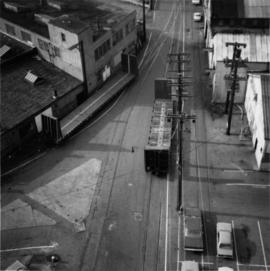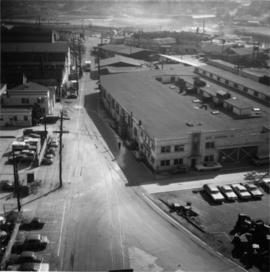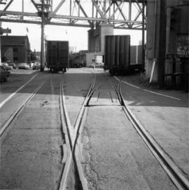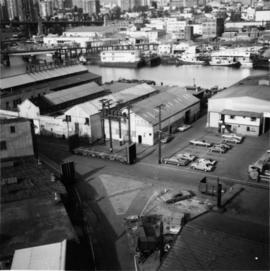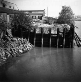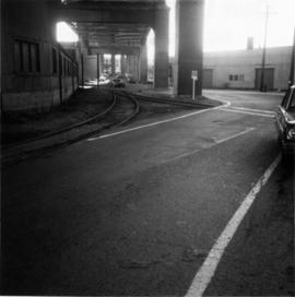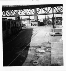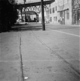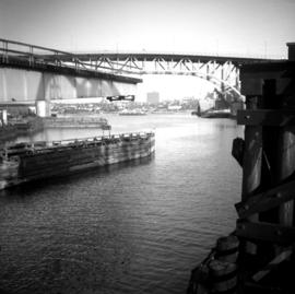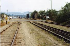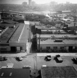
2013.6.36.1.048.16
·
Item
·
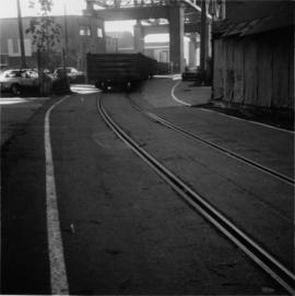
2 Oct. 1974
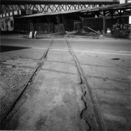
Parte de David Davies Railway Collection
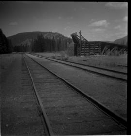
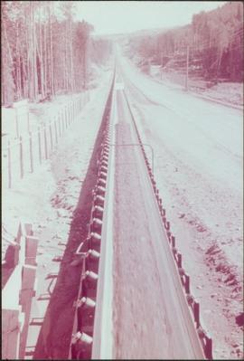
Photograph taken looking eastward, down a service rail track way, from Granville Bridge.