Image depicts what is possibly Atlin Lake, with numerous mountains in the distance and Atlin Mountain visible on the right of the image.
Image depicts Atlin Lake as well as a small section of Atlin, B.C. The mountain is possibly Atlin Mountain.
Image depicts Atlin Lake.
Image depicts the grave of John Wolters in the Atlin Cemetery. It reads: "Born in Kent, England, Jan 16 1857. Died Sept. 21 1905."
Image depicts the grave of John Elmwood Simons in the Atlin Cemetery. It reads: "died Feb. 8, 1914, age 61 yrs. froze to death."
Image depicts numerous graves in the Atlin Cemetery.
Image depicts the grave of Charley William Rudolf in the Atlin Cemetery. It reads: "Born July 2, 1923. Died May 21, 1940. Age 16 years. Died from gunshot wounds, mistaken for a bear."
Image depicts a boat named "the Tarahne," which is located in Atlin, B.C. Atlin Lake and Mountain are visible in the background.
Image depicts the post office in Atlin, B.C.
Image depicts an old boat on the shore of Atlin Lake.
Image depicts an old building undergoing a restoration process, possibly in Atlin, B.C.
Image depicts a dock on the shore of Atlin Lake, as well as a building that may have once been a hospital. The slide is simply labelled "hospital."
Photograph depicts Violet Baxter's younger brother Art pushing his son Ian in wheelbarrow. Art is wearing a hat and smoking a pipe. A forest stands in background behind the field and fence that cross midground.
Photograph of Archdeacon WH Collison reclining against a large tree with a group of friends and family. Handwritten annotation on verso reads: "Arch. Collison with sons Max & Arthur & friends in mountains above Portland [?] Canal Me."
Image depicts numerous buildings on the shore of Haida Gwaii as the ferry approaches.
Slide depicts a tree with apple blossoms in a backyard of a brown house. The yard is surrounded by a wooden fence. The neighbor's white house can be seen next door. Photographed in Kelowna, BC. Original slide description: "Apple Blossom bkyd. Kel."
Image depicts what appears to be an apartment building among several others in an uncertain location.
Image depicts another train on the White Pass railway along a forested mountain side.
Image depicts what appears to be an animal pen in Island Cache. There is a goat and numerous chickens in the image, as well as a pile of miscellaneous material.
Image depicts a view of D'Arcy, located on the southern end of Anderson Lake.
Image depicts a vehicle on a bridge somewhere near Anderson Lake in the Seton Portage area.
Image depicts power lines running alongside Anderson Lake near Seton Portage, B.C.
Image depicts the Anderson Lake.
Image depicts a view of Anderson Lake near Seton Portage, B.C. A vehicle on a mountain road is also visible.
Image depicts a view of Anderson Lake near Seton Portage, B.C.
Film begins with recording of geese flying in sky as introduction. Then there is footage of community life in the general store, believed to be "Christensen's General Store," including a man lighting a pipe, children buying snacks and families buying groceries. Afterwards there is filming of the Anahim Stampede, depicting wild cow riding, bronco riding and the spectators.
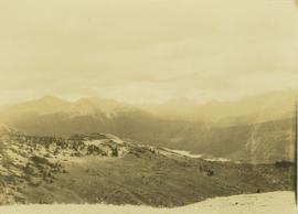
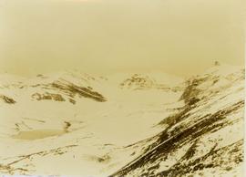
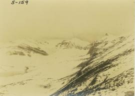
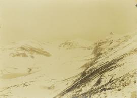
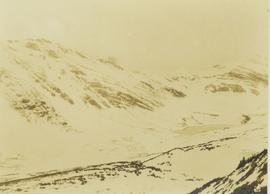
The second portion of the film begins with the title slide "Caribou Return" and in consists of clips of ducks on a lake, scenery of trees and the lake, men packing up horses as they prepare for a journey into the high country. They travel as a pack train up into the mountains and eventually set up camp. There is footage of the men cooking, and also various shots of wildlife including a white grouse, herd of caribou, moose wandering through the snow, and a porcupine. The hunting party eventually kills a bull moose and there is footage of them examining the kill and loading the pack train with meat.
The third portion of the film begins with two young girls playing in a boat and then playing in a garden, and then a young boy pulling his sister in a wagon. There is a family barbeque and more footage of children playing and going fishing in a lack. The film ends with a recording of a grouse or pheasant in a bush.
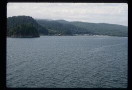
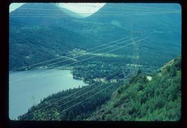
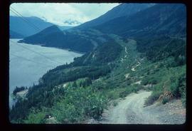
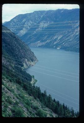
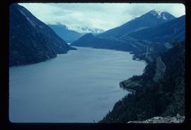
Locations believed to be filmed in on this reel include Gitcha Mountains, Ulkatcho Mountains, Holt Homestead, Lassard Lake, Rainbow Mountains or Tweedsmuir Provincial Park.
Al Elsey compiled his original footage from 1964 to produce this commercial film that deals with the Anahim Lake Stampede, Caribou Hunting around Fenton Lake in Tweedsmuir Provincial Park, and Burton and Josephine Robson with their domestic deer. The video provides a compilation of film footage shot by Elsey and is narrated by him describing the activities documented in the footage
Photograph depicts an alpine lake visible in a distant mountain valley with snow-capped mountains visible in the background.
Photograph depicts an alpine lack situated at the top of snow-covered mountain peaks.
Photograph depicts an alpine lake at the top of a snow-covered mountain.
Photograph depicts an alpine lake amongst snow-covered mountain peaks.
Image depicts the Alkali Lake Ranch in Alkali Lake, B.C.
Reproduced map on mylar depicts the Aleza Lake timber reserve near Aleza Lake, BC.
Item is a forest cover map for Aleza Lake Research Forest (Special Use Permit 19070). Shows experimental plots and timber sale areas.
Map indicates locations of research trials and permanent plots in the Aleza Lake Research Forest. Map produced by Madrone Consultants.
Item is a hand-drawn map of a plot in the Aleza Lake Research Forest. Individual trees are marked and numbered.
Mylar map is a plot map of a research plot at the Aleza Lake Research Forest. Provides date the plot was established, the harvest history, the silviculture history, remeasurement history, and information about individual trees.
Item is a hand-drawn map of a plot in the Aleza Lake Research Forest. Individual trees are marked and numbered.