File contains slides depicting Premier Mine in Hyder, Alaska.
Alaska, USA
11 Archival description results for Alaska, USA
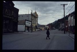
Image depicts one of the main streets, Broadway, in Skagway, Alaska.
Map depicts Chilkoot Inlet, Port Chilkoot, Taiya Inlet, Skagway, Tagish Lake, Golden Gate, and Graham Lake.
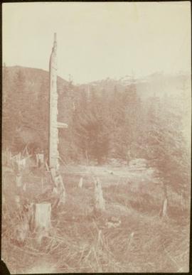
Child stands in distance beside tall totem pole. Tree stumps in foreground, forest and mountains in background.
Handwritten annotation on verso reads: "[Sanabati near Upper Queen?] Kasaan Alaska".
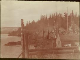
Totem poles (crest poles?) stand in front of wooden houses on right. Hills on shoreline visible in background.
Handwritten annotations on verso read: "West Coast QCIs."; "[Old?] Kassan Alaska."
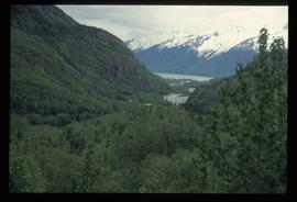
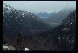
Image depicts a view over a forested, mountainous area and a river somewhere in the area of Skagway, Alaska.
Image depicts a view over a forested, mountainous area and a river towards the vicinity of Skagway, Alaska.
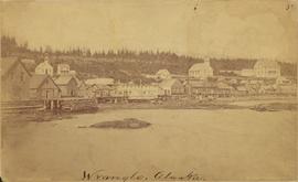
Photograph depicts community buildings on shoreline, water in foreground.
Handwritten annotation on image reads: "Wrangle, Alaska."; on verso: "Fort Wrangle, Alaska Territory. visited by W.H.Collison, C.M.S. 1877. Prior to the establishment of any mission, [...? illegible] 1875 - 1876. Presbyterian. Insert this illustration of Wrangle on Page 77 as marked."
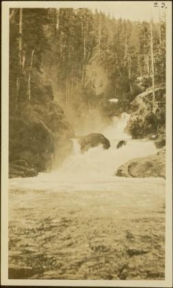
Photograph features rapids in foreground, trees and rocks in background.
Handwritten annotation on verso reads: "A waterfall on American side of the Canal. Chapt. XXVI Waterfall on Alaskan side of Portland Inlet."
File contains slides depicting locations along the White Pass railway through Alaska, British Columbia, and the Yukon Territories.
Map depicts the Gulf of Alaska, Pacific Ocean, Chicagof Island, Baranof Island, Alaskan Boarder, Yukon Territory Boarder, Telegraph Creek, Dease Lake and "Mount Brook" along the Graham Inlet.
