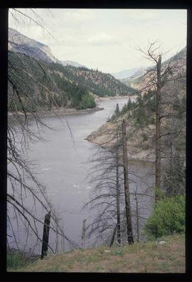
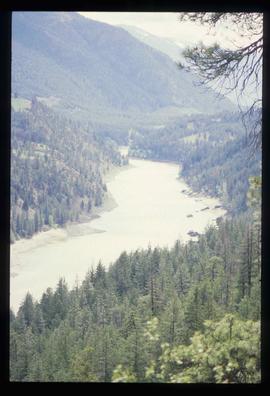
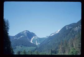
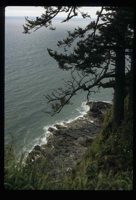
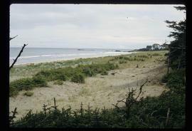
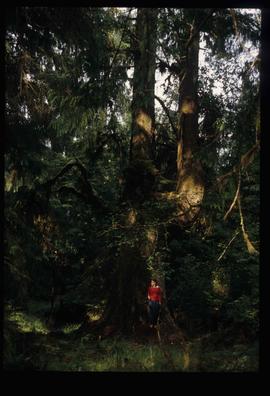
Image depicts Sue Sedgwick standing on the bank of a river.
Image depicts what is possibly either the Fraser or the Thompson River.
Image depicts three picnic tables, one of which is occupied with three unknown individuals, on a beach somewhere in Kitimat, B.C.
Image depicts the Alcan smelter in Kitimat, B.C.
Image depicts a view of the forest and lake around Kitimat, B.C.
Image depicts a large group of people enjoying the Mount Layton Hot springs in the Lakelse Lake Provincial Park north of Kitimat, B.C.
Image depicts numerous docked boats in Kitimat, B.C.
Image depicts a view of the area surrounding Kitimat, with power-lines in the foreground the city partially visible in the distance.
Image depicts a south-west view of the Nass Valley.
Image depicts several individuals looking down into a closed off section of a river in Meziadin Lake Provincial Park. They are counting fish.
File contains slides depicting places in and around the areas of Likely and Horsefly, B.C.
Image depicts numerous old and ruined cabins in Quesnelle Forks.
Image depicts a view of Quesnelle Forks and the nearby river.
Image depicts numerous abandoned and ruined cabins at Quesnelle Forks.
Image depicts a steam shovel, located in Quesnelle Forks.
Image depicts the upper end of the Bullion Pit in Likely, B.C.
Image depicts a field of hay somewhere in Beaver Valley.
Image depicts several apartment buildings and the sign for a Gulf Gas Station in Mackenzie, B.C.
Image depicts a man and his family filling up their truck with gas at Manson Creek, B.C.
Image depicts a view of McGregor Valley from an uncertain location.
Image depicts a bridge over the McGregor River.
Image depicts a farm in Giscome, B.C.
Image depicts a view of McGregor Valley.
Image depicts a bridge over the McGregor River.
File contains slides depicting Pine Pass and Murray Ridge, B.C.
Image depicts a man leaning on a rock somewhere on Murray Ridge.
Image depicts a man sliding down the remaining snow on Murray Ridge.
Image depicts a section of river located somewhere near Barriere, B.C.
Image depicts a mountain range located somewhere along the Skeena River.
Image depicts the Skeena River.
Image depicts a view of Terrace, B.C.
Image depicts a rail road bridge located somewhere near Terrace, B.C.
Image depicts a view of what is possibly a shipping yard in Prince Rupert, B.C. The slide is labelled "superport."
Image depicts the ferry to Alaska in the port of Prince Rupert, B.C.
Image depicts numerous boats docked by a buildings identified as the "Prince Rupert Fishermen's Co-operative Association."
Image depicts a grain elevator in Prince Rupert, B.C.
Image depicts the Hecate Strait near Prince Rupert, B.C.
Image depicts numerous docked boats somewhere in Prince Rupert, B.C.
Image depicts a pulp mill in Port Edward, B.C.
Image depicts the coastline of Haida Gwaii, B.C.
Image depicts a downward view of a small section of the shore of Haida Gwaii.
Image depicts the coastline of Haida Gwaii, B.C.
Image depicts an individual ducking under a tree branch somewhere in Haida Gwaii, B.C.
Image depicts numerous trees in the coastal forest of Haida Gwaii, B.C.
Image depicts Haida Gwaii.
Image depicts a ferry docked at Haida Gwaii, B.C.
Image depicts an individual, possibly Sue Sedgwick, standing next to a very thick and tall tree somewhere on Haida Gwaii.
Image depicts an individual walking on a path through a forest somewhere on Haida Gwaii.