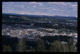
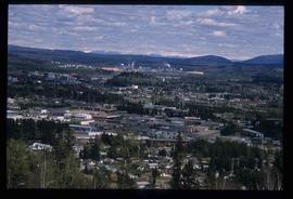
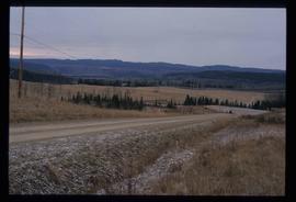
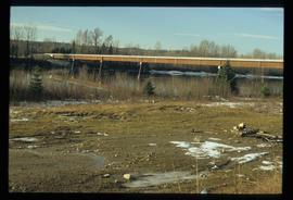
Image depicts Prince George, with the picture looking North-Northeast from University Way.
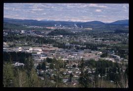
Image depicts Prince George from University Way, with the P.G.I pulp mill in the distance.
Image depicts a view of the south direction of the grade for the British Columbia Railway, which was formerly known as the Pacific Great Eastern until 1972. It is at an uncertain location, possibly near Woodpecker or Prince George.
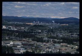
Image depicts Prince George from University Way, with the P.G.I. Pulp Mill in the distance.
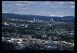
Image depicts Prince George from University Way, with the P.G.I. Pulp Mill in the distance.
Image depicts Prince George from University Way, with the P.G.I. Pulp Mill in the distance.
File consists of records created and collected by Kent Sedgwick regarding Cottonwood Island. Includes: "Welcome to Cottonwood Island Nature Park" brochure [197-?]; "A Brief History of Cottonwood Island Park" by Kent Sedgwick (2001); "History of Cottonwood Island Park and Side Channel Restoration" (2001?); a Regional District of Fraser-Fort George "Notice of Public Hearing" (1973); an outline for "Cottonwood Island Brief" (1973); an original copy of the "Cottonwood Island Study" by the Regional District of Fraser-Fort George (1975); annotated hand-drawn small maps of Cottonwood Island; photocopied aerial photographs; and photocopied newspaper clippings about Cottonwood Island and Island Cache. Also includes 15 colour photographic prints and accompanying negatives taken of Cottonwood Island by Bob Nelson.
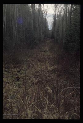
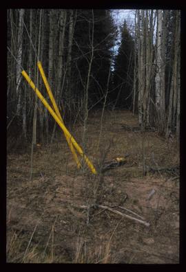
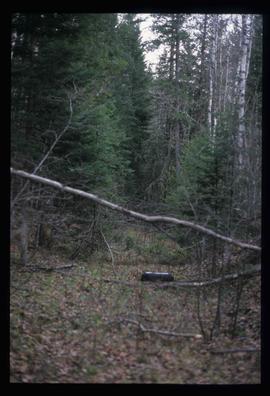
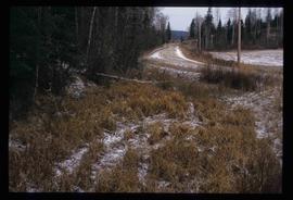
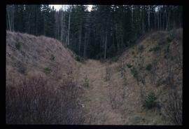
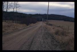
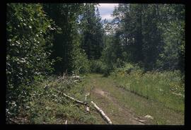
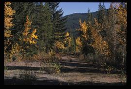
Image depicts a clearing through the woods, possibly an abandoned grade for the BCR. It is possibly located on Iron Road South, near Woodpecker B.C.
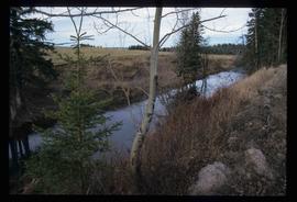
Image depicts Iron Road North, and a creek surrounded by trees. Located north of Woodpecker, B.C.
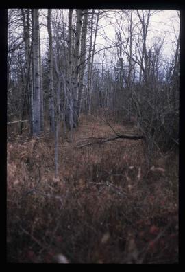
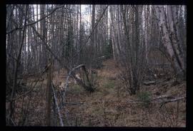
Image depicts a forest, possibly somewhere near Woodpecker, B.C.
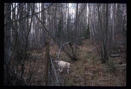
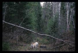
Image depicts a dog in a forest, possibly somewhere near Woodpecker, B.C.
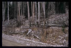
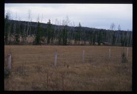
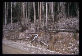
Image depicts a tree line in Woodpecker, B.C.
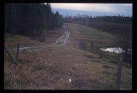
Image depicts a view south, possibly of an abandoned grade for the BCR; possibly somewhere near Woodpecker, B.C.
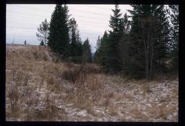
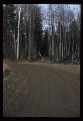
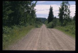
Image depicts a north view of a road somewhere in Woodpecker, B.C.
File contains slides depicting Mud River.
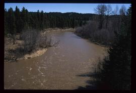
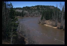
Image depicts the Mud River.
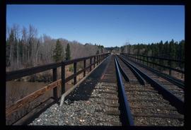
Image depicts a rail road bridge over the Mud River.
Image depicts a creek near Iron Road North, north of Woodpecker, B.C.
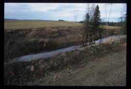
Image depicts a ditch near a road somewhere in Woodpecker B.C.
Image depicts a pair of dogs in a forest, possibly somewhere near Woodpecker, B.C.
Image depicts a forest, possibly somewhere near Woodpecker, B.C.
Image depicts a tree line in Woodpecker, B.C.
Image depicts Iron Road South, which is located north of Woodpecker, B.C.
Image depicts a creek near Iron Road North, north of Woodpecker, B.C.
Image depicts a pair of dogs in a forest, possibly somewhere near Woodpecker, B.C.
Image depicts a tree line in Woodpecker, B.C.
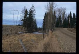
Image depicts a road somewhere in Woodpecker, B.C.
Image depicts the Mud River.
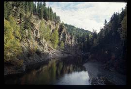
Image depicts the Cottonwood Canyon.
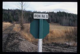
Image depicts the street sign for Iron Road South, which is located north of Woodpecker, B.C.
Image depicts a clearing through the woods, possibly an abandoned grade for the BCR. It is possibly located on Iron Road South, near Woodpecker B.C.
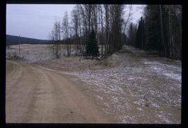
Image depicts a back road at an uncertain location, possibly near Iron Road North, north of Woodpecker, B.C.
Image depicts a water-filled ditch near a road somewhere in Woodpecker B.C.
Image depicts a north view of a road somewhere in Woodpecker, B.C.
Image depicts Bellos Road, most likely in Red Rock, B.C.
File contains slides depicting areas around the Discovery Passage.
Image depicts Bellos Road, most likely in Red Rock, B.C.
File contains slides depicting the grade for what was formerly the Pacific Great Eastern, and is now known as British Columbia Railway.
File contains slides depicting places along the east line of the BC Railway.
File consists of notes, clippings, and reproductions relating to the Grand Canyon of the Fraser River. The Grand Canyon of the Fraser is a short gorge on the upper Fraser River, about 6 kilometres south-southwest of Hutton. The canyon head was about 171 kilometres by river from Fort George, and is about 100 kilometres due east of downtown Prince George.
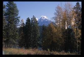
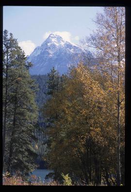
Image depicts Mt. Fitzwilliam.
Image depicts the new Hansard Bridge. Map coordinates 54°04'57.9"N 121°51'10.1"W
Image depicts the new Hansard Bridge. Map coordinates 54°04'57.9"N 121°51'10.1"W
Image depicts an old road through the trees near Yellowhead Pass. The slide labels it as the origin of the Yellowhead highway.
Image depicts Mt. Fitzwilliam.
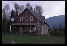
Image depicts a house with torn-up siding. The slide is labelled: "Mellos house relocated from Penny." The location is uncertain.
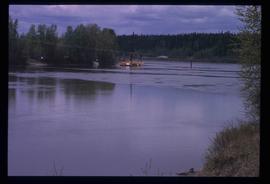
Image depicts what appears to be a ferry crossing a river at an uncertain location.
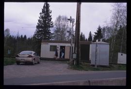
Image depicts two unidentified individuals speaking to each other in the doorway of what appears to be a mobile home. The location is uncertain.
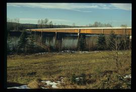
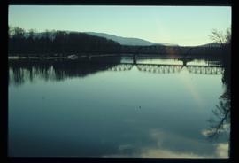
Image depicts the Hansard railroad bridge taken from the new Hansard vehicle bridge. Map coordinates 54°04'58.1"N 121°50'58.0"W
File contains slides depicting the Kootenay Plains and surrounding areas in Alberta.
