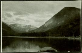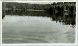
2005.3.29
·
Item
·
[ca. 1945]
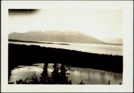
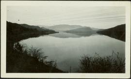
Part of John Hart Highway Photograph Collection
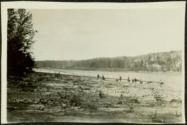
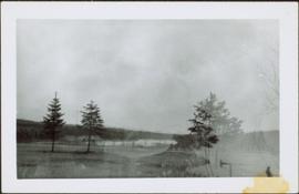
View of ripples in lake. Forest on opposite shore is reflected in water. It is believed this photograph was taken at Summit Lake, B.C.