2006.18.6.06.05
·
Item
·
15 Jan. 1992
Part of Aleza Lake Research Forest Society fonds
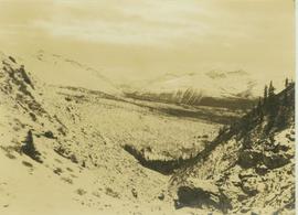
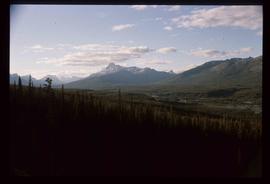
Annotation on photograph verso: "View SE from Jtn of A Road and Main Road. Uncut stand on left; selection logging virtually complete in centre and right. 15/1/92. Summit Lake Selection Trial"