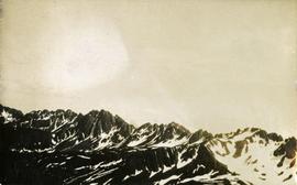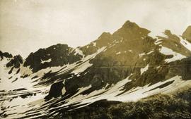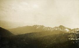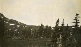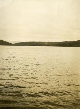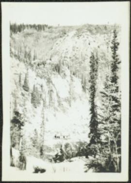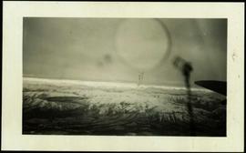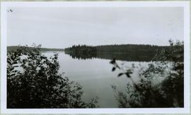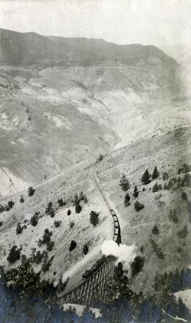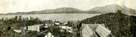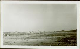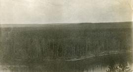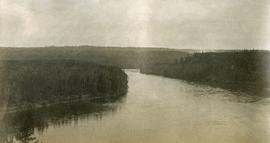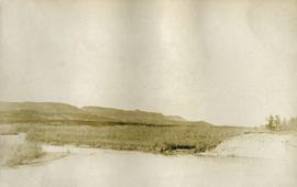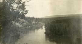
2014.10.1.307
·
Item
·
1913
Part of Arthur Holland Land Surveying Collection
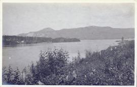
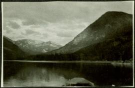
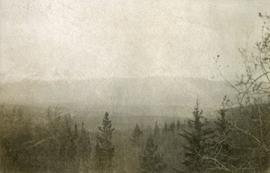
Photograph depicts a few of forest in the foreground, a snowy mountain range in the distance.