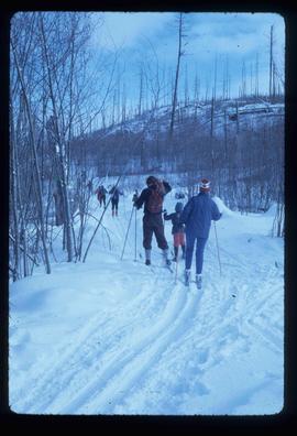
Image depicts numerous skiers cross-country skiing on a trail through trees on the Birchleg Ski route on Tabor Mountain in Prince George, B.C.
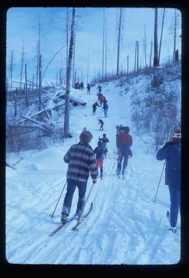
Image depicts numerous skiers on the Birchleg Ski route on Tabor Mountain in Prince George, B.C.
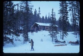
Image depicts numerous skiers at the cabin located at Troll Lake on Tabor Mountain in Prince George, B.C.
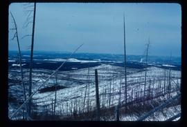
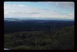
Image depicts the area surrounding Tabor Mountain. Prince George is slightly visible in the background.
Image depicts a view of the landscape surrounding Tabor Mountain in Prince George, B.C.
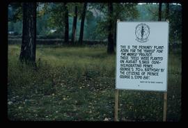
Image depicts a group of trees in the Cottonwood Park, with a sign which reads: "This is the primary plantation for the 'Forest for the World' project. These trees were planted on August 5, 1985, commemorating Prince George's 70th birthday by the citizens of Prince George & Expo 86'."
File consists of photographs separated from other boxes and subseries depicting downtown Prince George, historic Prince George, the North Thompson region, Fort St. James historic site, Brooks, Alberta, Sinclair Mills, and Soda Creek.
Kent Sedgwick’s research subject files contain original research notes, interviews and oral histories, news clippings, and collected primary and secondary sources. The series also includes both original and reproduction photographs, audio recordings, and maps. The subject files primarily relate to the history, urban planning, and historical geography of the Central Interior of British Columbia, especially Prince George area and the East Line communities over the course of the 20th century. They also include extensive notes on geographic features, landscapes, interpretative trails, architectural history, industrial history, history of Western exploration and land survey, and the First Nations history of the region.
Map depicts the city of Prince George Boundary expansions since incorporation in 1915.
Map depicts the city of Prince George Boundary expansions since 1913.
Map depicts the city of Prince George with annotations of the boundary expansions from 1915 to 1964.
Map depicts the city of Prince George boundary expansions from 1913 to 1974.
File consists of notes, clippings, and reproductions relating to historical and contemporary natural resource surveys in British Columbia. Includes material on oil discovery, farming conditions, timber stands, the Alaskan Highway, and railway development. File predominantly consists of search results from the University of Northern British Columbia library, College of New Caledonia library, and Prince George Public Library regarding British Columbia's natural resource surveying.
File consists of notes, clippings, and reproductions relating to the City Beautiful movement across North America. File predominantly consists of photocopied articles: "The City Beautiful" by Fredrick Law Olmsted, Jr.; "The Plan of Chicago 1909" by Amy Diadamo; "Vancouver and the City Beautiful Movement" by Rodger Todhunter; "The Urbanization of America" by Blake McKelvey; and "The Rise of Modern Urban Planning" by Anthony Sutcliffe. File also includes an issue of the "Journal of the Society for the Study of Architecture in Canada", Vol. 32 No. 1 (2007).
File consists of notes, clippings, and reproductions relating to the South Fort George townsite. Includes "Name change from Glenora Park to Paddlewheel Park" typescript letter from Kent Sedgwick to The Mayor and Council (12 Sept. 1988).
File consists of notes and reproductions relating to a heritage interpretative sign for the Millar Addition in Prince George. Includes: "RE: Millar Addition Sign" letter from the Borealis Creative Productions to Kent Sedgwick (28 June 1995). File also includes photographs depicting Fort George Park, a street view, and houses in the Millar Addition of Prince George (1995).
File consists of notes and reproductions relating to the Nechako cutbanks in Prince George. Includes: "The Cutbanks" typed document by Kent Sedgwick (1 Feb. 1996). File also includes a photograph depicting heritage river trail signs erected at the cutbanks and describing the significance of the cutbanks in Prince George (1996).
File consists of notes, clippings, and reproductions relating to the Monkman Pass mentioned in newspapers.
File consists of notes and reproductions relating to the East Line Section of the Grand Trunk Pacific Railway in Central British Columbia.
File consists of aerial photographs depicting the Fraser River Big Bend, where the Fraser River changes direction from westbound to southbound at its "Big Bend" near the Huble Homestead Historic Site, 45 km north of Prince George, British Columbia.
File consists of notes, clippings, and reproductions relating to various communities along the East Line. Includes material regarding Penny; the Robson Valley; the Ancient Rainforest; Dome Creek; Bend; Loos; Crescent Spur; and Dewey. File includes photographs depicting the Fraser River and Morkill Forest Service Road near Crescent Spur and Dome Creek (2010).
File consists of notes, clippings, and reproductions relating to Tete Jaune.
File consists of notes, clippings, and reproductions relating to the Chilcotin region. Includes: "CNC Outdoors Club Trip to Farewell Canyon" poster (Nov. 1973).
File consists of notes, clippings, and reproductions relating to Mount Sir Alexander, a mountain in the Sir Alexander Area of the Continental Ranges of the BC Canadian Rockies.
File consists of clippings related to the Peace River region. Also includes photographs taken by Kent Sedgwick depicting Mackenzie, BC and the Peace River region (2003).
File consists of a typescript essay titled "The Impact of Swiss settlement in the Bulkley Valley" by Allen Curley for a GEOG 205 class.
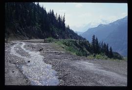
Image depicts a dog on a road, and a view of the mountains in Bear Glacier Provincial Park.
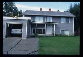
Image depicts a house with a vehicle in a garage and the number 40 on it; location is uncertain.
File contains slides depicting places in and between McBride and the Yellowhead Pass via the Yellowhead Highway.
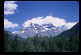
Image depicts Mt. Robson.
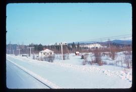
Image depicts a house located somewhere near McBride, B.C.
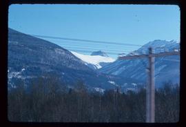
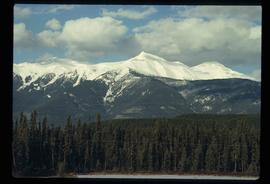
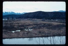
Image depicts a view of what is most likely the Rocky Mountains near McBride, B.C.
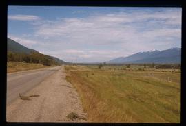
Image depicts a view of the Rocky Mountain Trench somewhere near McBride, B.C.
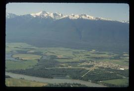
Image depicts a view of McBride in the Rocky Mountain Trench.
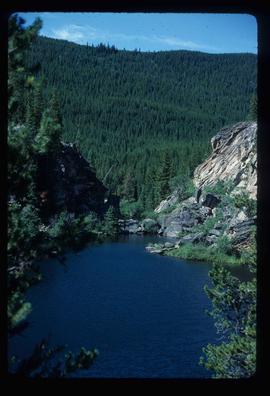
Image depicts Portal Lake, located near the Yellowhead Pass on the British Columbia-Alberta border, west of Jasper, A.B.
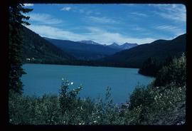
Image depicts Yellowhead Lake, located near the Yellowhead Pass.
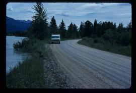
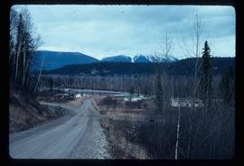
Image depicts a vehicle on a gravel road somewhere near Tête Jaune Cache, B.C.
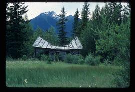
Image depicts a collapsing shack somewhere near Tête Jaune Cache, B.C.
Image depicts a mountain at an uncertain location.
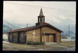
Image depicts the All Saints Anglican Church in McBride, B.C. The slide labels it as having "moved to PG."
Image depicts the community of Crescent Spur, B.C.
Image depicts the community of Crescent Spur, B.C.
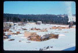
Image depicts what appears to be a small mill in the community of Crescent Spur, B.C.
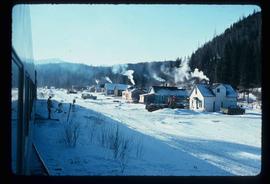
Image depicts a row of houses and the side of a train in Crescent Spur, B.C.
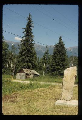
Image depicts a stone marker in Lamming Mills, B.C.
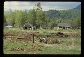
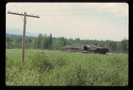
Image depicts a cabin and several sheds somewhere in Goat River, B.C.
Image depicts an old, collapsing log building somewhere in Goat River, B.C.
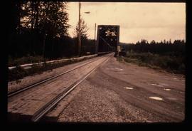
Image depicts the Hansard railroad bridge looking west. Map coordinates 54°04'37.9"N 121°50'46.3"W
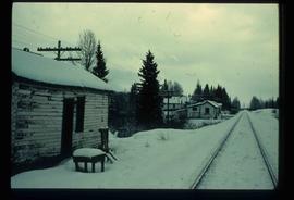
Image depicts railway tracks on the right side of the image, and several old houses alongside it. The location is uncertain.
