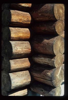
Image depicts a child in the foreground, and the Germansen Landing trading post in the background in Germansen Landing, B.C.
File contains slides depicting the McGregor River and its surrounding areas.
Image depicts a farm at an uncertain location; possibly somewhere in the McGregor Valley.
Image depicts a bridge over the McGregor River. A sign in the image reads: "Danger. The river is not navigable for any type of boat. Down stream falls and rapids impassible!"
Image depicts the interior of the Pride O' the North shopping mall in Prince Rupert, B.C.
Image depicts a view of the port in Prince Rupert, B.C. The slide is labelled "superport."
Image depicts numerous docked boats in Prince Rupert, B.C.
Image depicts the BC Packers Ltd. cannery in Prince Rupert, B.C.
Image depicts Metlakatla, located near Prince Rupert, B.C.
Image depicts a large vessel docked in Prince Rupert, B.C. The name on its side is "Star Capella." The slide itself is labelled "superport."
Image depicts the main street of Prince Rupert, B.C.
File contains slides depicting places on Haida Gwaii, formerly known as the Queen Charlotte Islands.
Image depicts numerous boats docked by the Prince Rupert Fishermen's Co-operative Association from the deck of a ferry, possibly as it's leaving Prince Rupert, most likely for Haida Gwaii.
Image depicts a row of houses in the village of Masset on Haida Gwaii.
Image depicts a shed on the shore somewhere on Haida Gwaii.
Image depicts a house on the shore somewhere on Haida Gwaii.
Image depicts the community of Skidegate on Haida Gwaii.
Image depicts the Raven Lake Hut on the other side of Raven Lake.
Image depicts a small shack on the shore of a lake near Seton Portage; it is likely either Anderson or Seton Lake.
Image depicts a view of Seton Portage in the trees, located between the two lakes, Seton and Anderson.
Image depicts a vehicle on a bridge somewhere near Anderson Lake in the Seton Portage area.
Image depicts a road with what appears to be a junkyard to the right of the image, likely located somewhere in Seton Portage, B.C.
Image depicts a river somewhere in or near Seton Portage, B.C.
Image depicts a river somewhere in Seton Portage, B.C.
File contains slides depicting places in and around Stewart, B.C.
Image depicts a row of boarded up houses in Granduc, near the Granduc Mine and located north of Stewart, B.C.
Image depicts an example of "typical housing" in Granduc, near the Granduc Mine and located north of Stewart, B.C.
Image depicts housing in Granduc, near the Granduc Mine and located north of Stewart, B.C.
Image depicts the St. Marks Community Church in Stewart, B.C.
Image depicts a Catholic Church in Stewart, B.C.
File contains slides depicting places in and around Stewart, B.C.
Image depicts several unidentified individuals standing outside a building, and holding intricately painted drums. The location is uncertain.
Image depicts the Gitwinksihlkw Elementary School in Gitwinksihlkw, B.C.
Image depicts the demolition of the Europe Hotel in Prince George, B.C.
Image depicts an uncertain street in Prince George, B.C.
Image depicts the Lheidli T'enneh Burial Grounds in Fort George Park.
Image depicts an unknown building under construction at the corner of 6th Avenue and Dominion Street in Prince George, B.C.
Image depicts a view of 3rd Avenue with the Columbus Hotel prior to the fire that destroyed it in 2008.
Image depicts the Exhibition Sports Centre, which used to be a drill hall army base, on Keller Street in Prince George, B.C.
Image depicts the old Dunster Station in Dunster, B.C.
Image depicts the interior of the old Dunster Station in Dunster, B.C.
Image depicts the old Dunster Station in Dunster, B.C.
Image depicts the corner of a log house, the slide itself labels the picture as being from Barkerville, B.C. and also indicates the corner is an example of a "round log" dovetail joint.
Image depicts a wooden fence at an uncertain location, perhaps somewhere in the Chilcotin region.
Image depicts a wooden fence at somewhere in Meldrum Creek, B.C.
Image depicts a shed somewhere in Kitwancool Lake, B.C.
Image depicts a wooden Ranch House at an uncertain location.
Image depicts a fence somewhere in Anahim Lake, B.C.
Image depicts the corner of a log house at an unknown location.