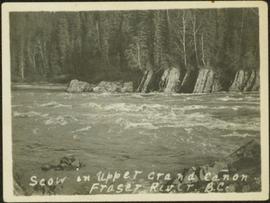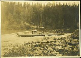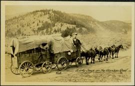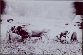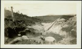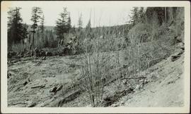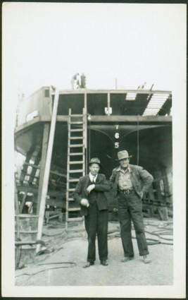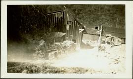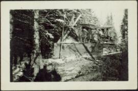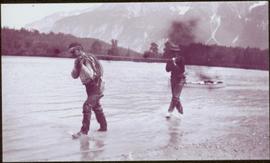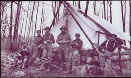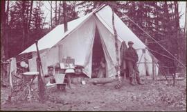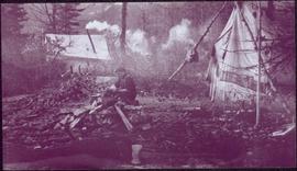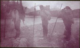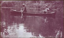
2009.5.3.11
·
Item
·
[ca. 1913]
Parte de Taylor-Baxter Family Photograph Collection
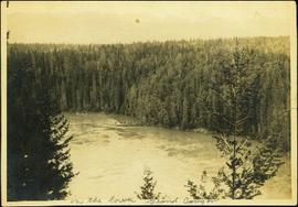
Photograph depicts men on a scow near opposite shore of river. Treetops in foreground. Photograph taken from above. Handwritten photo caption on verso and recto of this photo reads: "in the lower Grand Canyon".