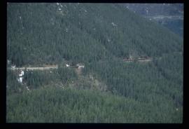
Image depicts another train on the White Pass railway along a forested mountain side.
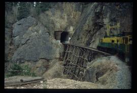
Image depicts the White Pass Train entering a tunnel in the mountain side.
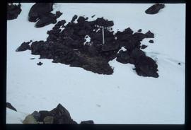
Image depicts a patch of snow-covered ground with a sign that reads "Trail of 98," somewhere along the White Pass railway.
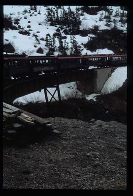
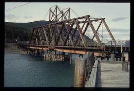
Image depicts the White Pass Train crossing over a railway bridge at an uncertain location in the mountains.
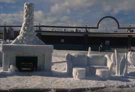
Image depicts a snow sculpted fire place and couch on a skating rink, possibly during the Winter City Conference, in Prince George, B.C. Taken at the Prince George Civic Center. Map coordinates 53°54'45.6"N 122°44'59.6"W
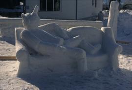
Image depicts a snow sculpture of the Mr. P.G. lounging on a couch, possibly during the Winter City Conference, in Prince George, B.C. Taken at the Prince George Civic Center. Map coordinates 53°54'45.6"N 122°44'59.6"W
File contains slides depicting Highway 16 West, from Isle Pierre to Hazelton.
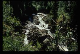
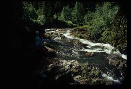
Image depicts the Tsilcoh Falls, north of Fort St. James and somewhere near Pinchi Lake Road.
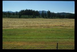
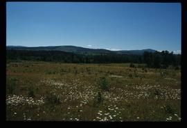
Image depicts a field along Telegraph Road, south-west of Vanderhoof, B.C.
Image depicts a field along Telegraph Road, south-west of Vanderhoof, B.C.
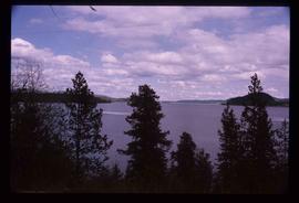
Image depicts a view of the Fraser Lake.
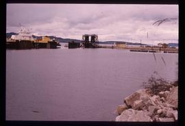
Image depicts a boat on the Nechako Reservoir at Kenny Dam.
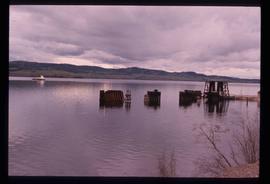
Image depicts a boat dock on the Nechako Reservoir at Kenny Dam.
File consists of:
- BC Ministry of Forests news release regarding research forest agreements between UNBC and UBC (8 Mar. 1999)
- "A Synopsis of the UBC Research Forests" by Peter Sanders and Ken Day (24 Apr. 1998)
- UBC's Alex Fraser Research Forest list of active research projects (Apr. 1998)
- ALRF's "Proposed Future Management Structure for the Research Forest"
- "Proposal to Assume Management of the Aleza Lake Research Forest" prepared by Ken Day and submitted by UBC and UNBC (22 Dec. 1997)
- Copy of briefing note prepared for David Zirnhelt, Minister of Forests, regarding a research forest for UNBC (Nov. 1998)
File consists of correspondence regarding the Fraser Basin Council's effort to set up the Nechako Watershed Council. Includes correspondence to and from Gordon Hartman; David Marshall (Fraser Basin Council); David Lane; T. Buck Suzuki Environmental Foundation; B.C. Wildlife Federation; Fraser Basin Council; Rivers Defense Coalition; Iona Campagnolo (Chairperson, Fraser Basin Council); Nechako River Alliance; and Alcan Smelters and Chemicals Ltd. Also includes copies of Ben Meisner's column, newspaper clippings, "Nechako Watershed Council Terms of Reference", a "Proposal to the Nechako Environmental Enhancement Fund from The Nechako River Alliance", and an article by Hartman entitled "Nechako River--An Uncertain Future".
File consists of a photocopy of Soren Larsen's article from Research in Economic Anthropology entitled "The Cheslatta Redevelopment Project: Economic Development and the Cultural Landscape of the Cheslatta T'en".
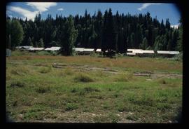
Image depicts a row of houses in Upper Fraser, B.C. Map coordinates 54°06'51.6"N 121°56'26.3"W
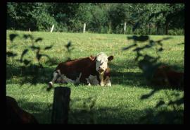
Image depicts a cow at an uncertain location.
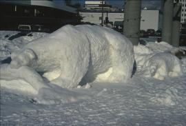
Image depicts a snow sculpture of a bear, possibly during the Winter City Conference, in Prince George, B.C. Taken at the Prince George Civic Center. Map coordinates 53°54'45.6"N 122°44'59.6"W
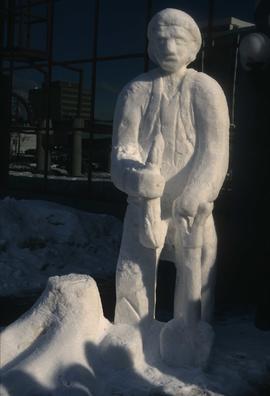
Image depicts a snow sculpture of a man with a shovel, possibly during the Winter City Conference, in Prince George, B.C. Taken at the Prince George Civic Center. Map coordinates 53°54'45.6"N 122°44'59.6"W
Image depicts the Northwood Bridge crossing in Prince George B.C.
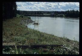
Image depicts the Pack River outlet at McLeod Lake.
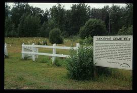
Image depicts the Tsek'enhe cemetery at McLeod Lake.
Image depicts what appears to be a footbridge at an uncertain location.
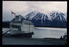
Image depicts a boat named "the Tarahne," which is located in Atlin, B.C. Atlin Lake and Mountain are visible in the background.
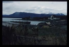
Image depicts a dock on the shore of Atlin Lake, as well as a building that may have once been a hospital. The slide is simply labelled "hospital."
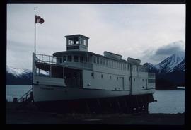
Image depicts a boat named "the Tarahne," which is located in Atlin, B.C. Atlin Lake and Mountain are visible in the background.
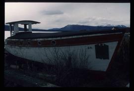
Image depicts an old boat on the shore of Atlin Lake.
Image depicts a small section of the Alaska Highway somewhere near Whitehorse, Y.T. The slide also appears to be labelled "army washing" for unknown reasons.
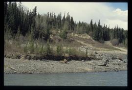
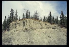
Image depicts what appears to be an eroding rock face. The slide itself is labelled "ash loger at top" for unknown reasons. Possibly located somewhere near Whitehorse, Y.T.
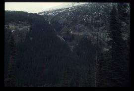
Image depicts a forested mountain side somewhere along the White Pass railway. The thin ridge along the mountain side is possibly either a highway or part of the railway.
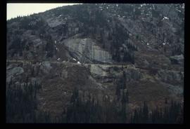
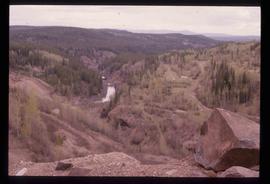
Image depicts a mountain side somewhere along the White Pass railway. The thin ridge along the mountain side is possibly either a highway or part of the railway.
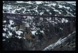
Image depicts an old trestle along the White Pass railway.
Image depicts the Tsilcoh Falls, north of Fort St. James and somewhere near Pinchi Lake Road.
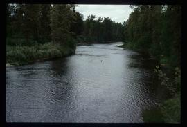
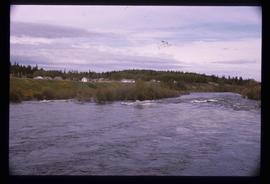
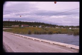
Image depicts Nautley and the Nautley River near Fraser Lake, B.C.
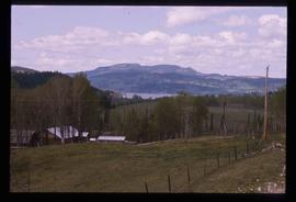
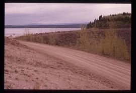
Image depicts a section of land on the east end of Francois Lake. The lake is visible in the distance.
Image depicts Kenny Dam, south of Francois Lake, and southwest of Vanderhoof, B.C.
File consists of a conference paper titled "The Political Scrutiny and Control of Security and Intelligence Services: The Case of Scandinavia" presented by Weller at SASS, University of Washington, Seattle, 28 Apr.-May 1, 1999. This file was originally numbered to correspond with conference paper number 103 listed in Weller's CV.
File consists of a conference paper titled "Universities and Development: The Case of the Pacific Island Universities" present by Geoffrey Weller at INRUDA, Paris, June 8-10, 1999. This file was originally numbered to correspond with conference paper number 104 listed in Weller's CV.
File consists of an original Forest Research Note published by the BC Forest Service Prince George Forest Region. This March 1999 note (#PG-16) is an article by Paul Sanborn, Marty Kranabetter, and Chuck Bulmer on "Soil Rehabilitation in the Prince George Forest Region: A review of two decades of research".
File contains an original "Prince George Land and Resource Management Plan" published by the Government of British Columbia.
Mylar map depicts the area encompassed by the Aleza Lake Research Forest.
Annotation on slide: "Horse-logging single-tree selection, Pass Lake SBSvk"
File consists of photocopied research materials on a variety of subjects relating to Ainley's ornithology research.
File consists of various documents regarding the Nechako River Alliance, Nechako Environmental Enhancement Fund (NEEF), and the creation of the Nechako Watershed Council between 1998 and 1999. Includes a Nechako River Alliance "Statement of Unity", a "Proposal to the Nechako Environmental Enhancement Fund" from Nechako River Alliance, a Royal Society of Canada "Expert Panels: Manual of Procedural Guidelines", a report prepared for the NEEF Management Committee entitled "NEEF Multi-Interest Involvement Process: Report on Community Festival Displays", correspondence from NEEF, a NEEF "Design Workbook for a Technical/Scientific Review", a Rescan Environmental Services report prepared for NEEF entitled "Nechako River: Summary of Existing Data", and a report prepared for the NEEF Management Committee entitled "Multi-Interest Involvement Process October 1999 Workshop Report".
File consists of the following photocopied articles:
- "Collecting Plants Beyond the Frontier in Northern British Columbia" by Mary Gibson Henry
- "Exploring and Plant Collecting in Northern British Columbia" (1933) by Mary Gibson Henry
- "A Thousand Miles Exploring on Horseback in Northern British Columbia" (1935) by Mary Gibson Henry
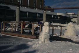
Image depicts two snow sculptures near a wooden bridge on an ice rink, possibly during the Winter City Conference, in Prince George, B.C. Taken at the Prince George Civic Center. Map coordinates 53°54'45.6"N 122°44'59.6"W
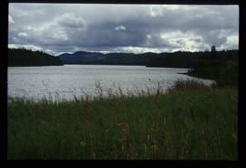
Image depicts McLeod lake.
Image depicts Nautley and the Nautley River near Fraser Lake, B.C.
Image depicts a stretch of land; the photo was taken from the top of Kenny Dam, south of Francois Lake.
