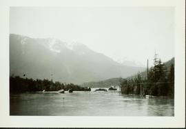
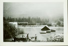
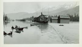
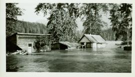
2020.05.24
·
Item
·
[Sept. or Oct. 1936]
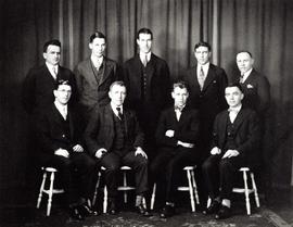
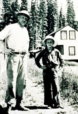
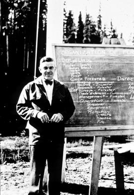
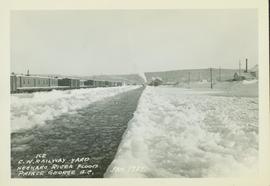
Part of Gordon Wyness Album
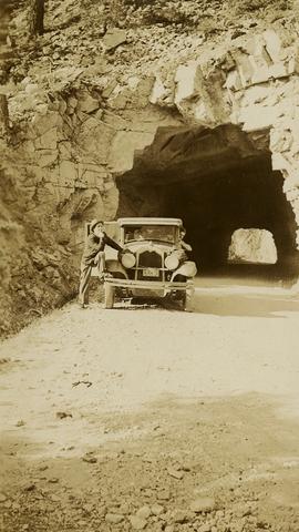
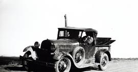
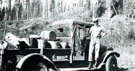
Photograph depicts (from left to right) Jack Lee, Gordon Wyness, and Lavender Monckton sitting on their 1930 Buick Series 40 car in front of their temporary cabin lodgings in Prince George. This photograph was taken before the group left Prince George to head to 6 Mile Lake or Tabor Lake.