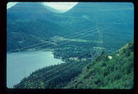
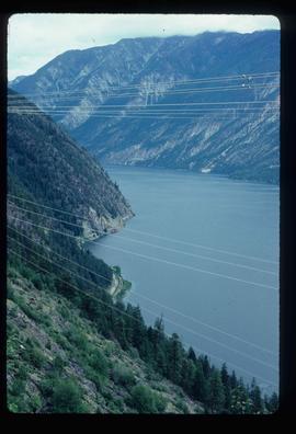
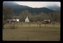
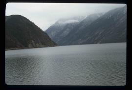
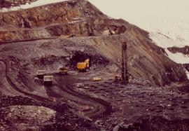
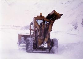
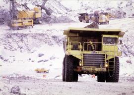
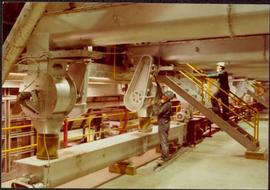
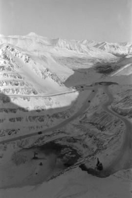
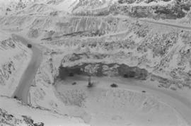
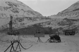
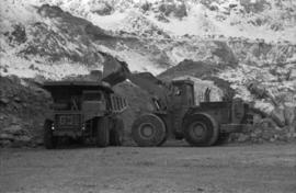
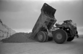
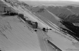
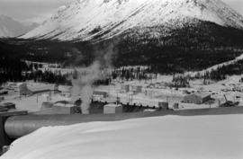
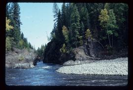
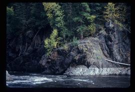
Image depicts the Hecate Strait near Prince Rupert, B.C.
Image depicts a dock in Prince Rupert, B.C.
Image depicts a large building with numerous vehicles in the foreground.
Image depicts numerous buildings and a small dock somewhere in Prince Rupert, B.C. One of the buildings is labelled "Fishermen's Supply."
Image depicts a view of Prince Rupert, B.C.
Image depicts an old, abandoned church located somewhere in Seton Portage, B.C.
Image depicts the train station in Seton Portage, B.C.
Image depicts a view of D'Arcy, located on the southern end of Anderson Lake.
Image depicts the Anderson Lake.
Image depicts a church and several houses in Seton Portage, B.C.
Image depicts what is either Seton or Anderson Lake near Seton Portage, B.C.
Photograph depicts mine area. Switchback road and higher benches in background. Blasthole drills, track shovels, and ore haulage trucks can be seen on level in foreground and higher bench in background. Mountains visible in distance. Benches in background speculated to be located on the mine's West Peak.
Photograph depicts wheel bulldozer in snowy unknown area of mine.
Photograph depicts machinery in snowy area of mine. Euclid ore haulage truck in foreground, cassiar pickup truck visible in lower area in midground. Blasthole drill in front of track shovel in left background, Wabco ore haulage truck visible behind other machinery in right background.
Photograph depicts part of the vacuum dust control and removal system in the Cassiar mill building. Unidentified man can be seen at rotary air-lock, in which heavy blown dust would collect before dropping to plenum conveyor resting just above floor. From here, the dust would eventually be expelled at the tailings pile outside of the mill. Second unidentified man can be seen climbing steps in background. This section of the mill was located above the lab.
Photograph depicts Zora Ivanovska in safety gear, vaccuming asbestos dust from "hall screen" in mill (slanted vibrating tables with varying mesh sizes, used to separate different lengths of fibre). Mill General Foreman Tony Pinto is visible on far right, with unidentified man.
Photograph depicts three women wearing white aprons while conducting tests on asbestos fibre in lab area, miscellaneous equipment throughout room.
Photograph depicts the Cassiar mine on McDame Mountain. West peak semi-visible in foreground. Drills and ore haulage trucks visible below in pit and on switchback roads.
Photograph depicts the Cassiar mine on McDame Mountain. Blasthole drills and ore haulage trucks visible below in open pit and on switchback road.
Photograph depicts blasthole drill on left, bulldozer in centre, and shovel loading ore haulage truck in background. Second haul truck is semi-visible on far right. Hose equipment can be seen in foreground.
Photograph depicts a shovel loading what appears to be a Euclid ore haulage truck in excavation area of mine.
Photograph depicts a Euclid ore haulage truck dumping material on pile in left foreground.
Photograph depicts crusher buildings in left foreground, located west of mine on McDame Mountain. Southeast mountain range in background.
Plant buildings stand in midground. Conveyor believed to be leading to tailings pile can be seen in foreground. Valley and mountains in background.
File consists of Ainley's Masters thesis "La Professionnalisation De L'Ornithologie Americaine, 1870-1979" (The Professionalization of American Ornithology, 1870-1979) at the University of Montreal.
Photograph depicts Mary John wearing flower print dress in cut field. Hay bales, trees, and fence in background.
File consists of a draft copy of a report by Envirocon entitled "Preliminary Results of Chinook Salmon Studies in the Nechako River: Volume 1 - Interim Report".
File consists of report entitled "Chinook Salmon (Oncorhynchus tshawytscha) Fry and Smolt Enumeration/Marking Project, Nechako and Quesnel/Horsefly Rivers, B.C." by W.R. Olmsted, P.W. Delaney, T.L. Slaney and G.A. Vigers of EVS Consultants for DFO.
Image depicts Kent Sedgwick sitting on the bank of a river. An old beehive burner is visible in the background. Located somewhere in or near Penny, B.C.
Image depicts the dairy farm in Giscome, B.C. Map coordinates 54°03'53.3"N 122°21'22.6"W
Image depicts a piece of heavy machinery lifting numerous logs off the back of a logging truck. It is likely located in Prince George, B.C.
Image depicts a river, possibly either the Nechako or the Fraser, and a mountain range from an unknown location.
Image depicts a lake, possibly Stuart Lake in Fort St. James, B.C.
Image depicts the Barkerville Cemetery.
Image depicts the grave of John A. Cameron at Barkerville, B.C.
Image depicts the grave of John A. Fraser in Barkerville, B.C.
Image depicts Blackwater River.
Image depicts a wooden structure at Gang Ranch. It is possibility an elevated water trough.
Image depicts a view of the property of the Gang Ranch.
Image depicts the Fraser River in the upper Fraser Canyon.
Image depicts an unknown woman on a road in the upper Fraser Canyon.
Image depicts Gang Ranch, with a sign warning that the area is patrolled by Range and Logging Patrols, in the Upper Fraser Canyon.
Image depicts Gang Ranch in the Upper Fraser Canyon.
Image depicts a couple of old buildings, and a field full of tree trunks and dead wood. Located somewhere in or around the Upper Fraser Canyon.
Image depicts a view of the Upper Fraser Canyon. The Fraser River is visible.
Image depicts the Fraser River running through the Upper Fraser Canyon.