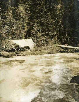
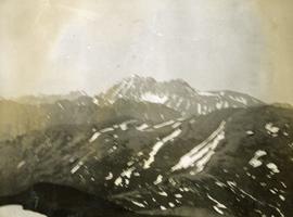
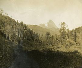
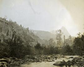
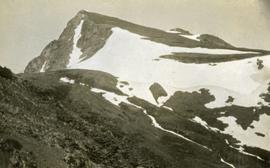
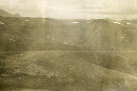
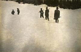
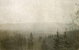
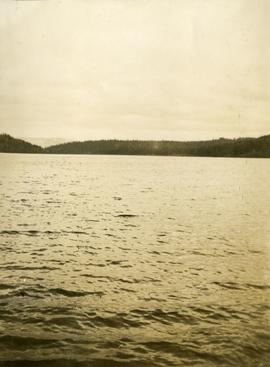
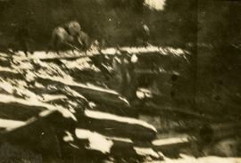
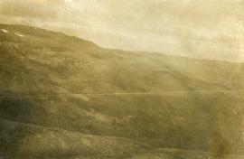
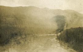
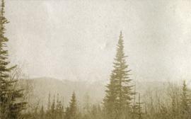
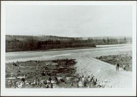
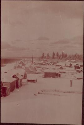
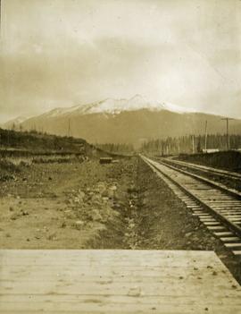
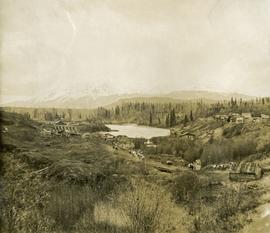
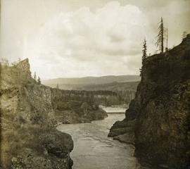
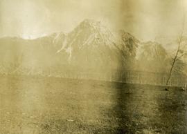
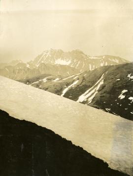
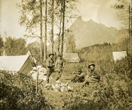
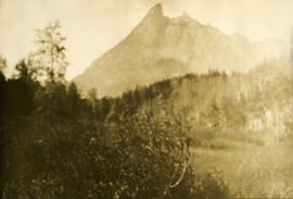
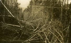
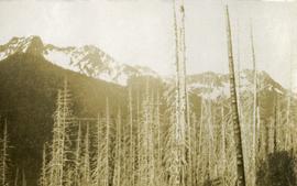
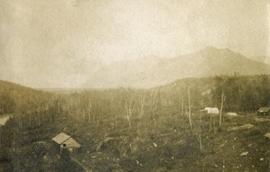
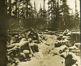
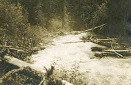
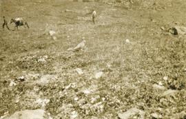
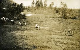
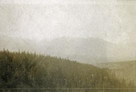
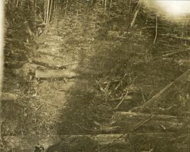
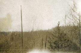
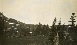
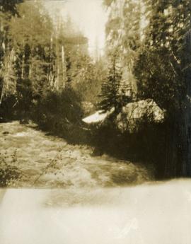
Photograph depicts a tangle of fallen logs and growing trees.
Photograph depicts a view past tree tops to a snow capped mountain range.
Consists of 1 plan entitled "Plan of Subdivision of S.W. 1/4, D.L. 4041 : Cariboo District," surveyed and signed by P.A. Landry, of South Fort George.
Photograph of a large explosion on a rocky shoreline. A bridge is visible in the foreground and a body of water is partially visible in the background. Printed annotation on recto reads: "McRae Bros Moving Mountains at Prince Rupert BC Apr 24th" Handwritten annotation on verso reads: "Rupert. July 17 1913. Dear [illegible]. Just a card for that album if you've got any room left by now. This is one of the blasts for the clearing of the drydock up here. [Illegible] W.M." Postcard is addressed to: "Miss C.M. Ranip[??] 931 Northlane Av.[sic] Seattle Wash." Two Canadian one cent stamps are affixed on verso. Postmark reads: "Prince Rupert BC. PM Jul 17 13."
Postcard photograph depicts sternwheeler in river, trees on opposite shore in background.
Printed annotation on recto reads: “Operator 1913, Prince George, B.C. Canada”, handwritten in pencil on verso: “Operator 1913”.
Photograph depicts village buildings along shore.
Handwritten annotation on verso reads: "67 Section of Massett as it is".
Photograph depicts a view looking across a creek to a tarp erected on the opposite shore, trees in the background. Survey of 55th parallel.
Photograph depicts crossing summit between John Brown and Kitseucla creeks. Survey of 55th parallel.
Photograph depicts views from the summit between John Brown and Kitseucla creeks.
Photograph depicts a view looking down on the river with Hudson Bay mountain in the background.
Photograph depicts a view from the summit between John Brown and Kitseucla creeks.
Photograph depicts lush undergrowth with trees and a mountain peak in the distance, valley of Kitseucla creek looking north from 55th parallel.
Photograph depicts Kitseucla creek, trees and a mountain peak in the distance.
Photograph depicts view of Kitseucla mountain summit with snow patches and a rocky peak.
Photograph depicts a rocky, mountain slope.
Photograph depicts a view from a mountain summit looking across the valley to forested mountain slopes with snowy mountain tops.
Photograph depicts an alpine meadow with a mountain ridge in the background.
Photograph depicts three men and five horses traversing through the snow. The men are on foot leading the horses.
Photograph depicts five men carrying shovels, walking through the snow in single file.
Photograph depicts a few of forest in the foreground, a snowy mountain range in the distance.
Photograph depicts looking across the water of Babine Lake toward low forested hills. [55th parallel]
Photograph depicts packed horses walking on the log jam. [55th parallel]
Photograph depicts bare mountain ridges near the Bulkley River and 55th parallel.
Photograph depicts a view looking down on the Bulkley River, forested banks on both sides of the river, high mountains in the distance.
Photograph depicts a view past tree tops to a snow capped mountain range.
Landscape with stumps, and roadbed with small (railroad?) track in foreground. River crosses midground, trees and sky in background. Men can be seen standing on far right on raised roadbed.
Photograph depicts village buildings along shore.
Handwritten annotation on verso reads: "Massett in Winter dress."
Photograph depicts view looking down railroad tracks toward a snow capped mountain. Survey of 55th parallel.
Photograph depicts a view of a creek, trees and canvas tents on the opposite shore. Smoke is rising from a chimney installed in one of the tents. Survey of 55th parallel.
Photograph depicts a view of a small bridge and dirt road joining buildings on two sides of a river. Loaded packhorses are traveling down the road. There are mountains in the distance. Survey of 55th parallel.
Photograph depicts steep canyon wall with a river below, low mountains in the distance. Survey of 55th parallel.
Photograph depicts crossing summit between John Brown and Kitseucla creeks. Survey of 55th parallel.
Photograph depicts trail making on summit between John Brown and Kitseucla creeks. Survey of 55th parallel.
Photograph depicts views from the summit between John Brown and Kitseucla creeks, Hudson Bay mountain.
Photograph depicts a view from the summit between John Brown and Kitseucla creeks.
Photograph depicts four men in center of photograph, several canvas tents erected nearby, high mountain peak in the background.
Photograph depicts lush meadow with trees and a mountain peak in the distance.
Photograph depicts cut alders, a long straight line through the forest.
Photograph depicts mountain tops and snowy glaciers.
Photograph depicts a rocky, mountain slope.
Photograph depicts snowy mountain tops viewed from the forest and valley floor.
Photograph depicts newly cleared land with three or more buildings. Forest and mountains in the background.
Photograph depicts a trail through log jam built by survey party. [55th parallel]
Photograph depicts a creek with forest on both sides.
Photograph depicts a ptarmigan in the foreground, two men on foot, leading a packhorse across a meadow.
Photograph depicts packed horses walking in single file across an alpine meadow.
Photograph depicts looking beyond a treed mountain ridge to snow capped mountains in the distance.