2014.10.1.184
·
Item
·
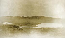
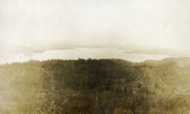
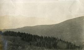
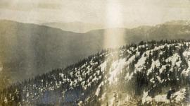
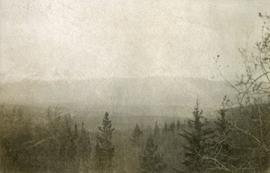
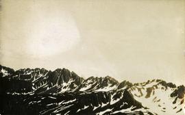
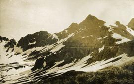
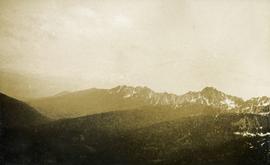
1911
Part of Arthur Holland Land Surveying Collection
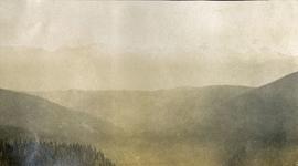
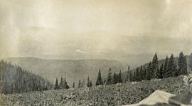
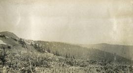
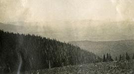
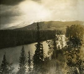
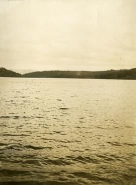
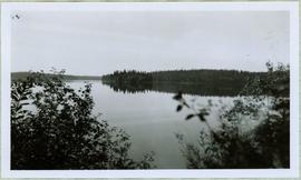
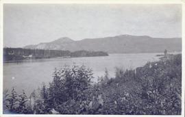
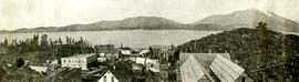
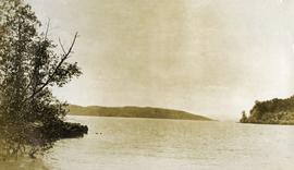
Photograph depicts a lake in the foreground, treed hills in the background.