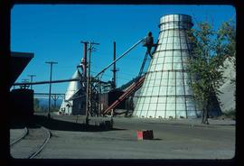
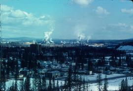
Image depicts a Beehive Burner along the Nechako on River Road. Map coordinates 53°55'34.1"N 122°44'58.0"W
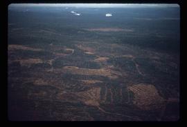
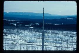
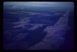
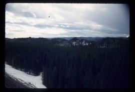
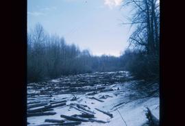
Image depicts a logging area somewhere near Prince George, B.C.
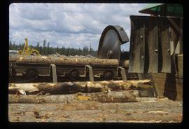
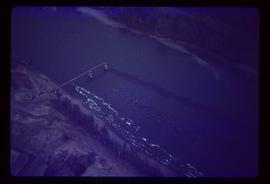
Image depicts a saw cutting a log in half at a saw mill in Prince George, B.C.
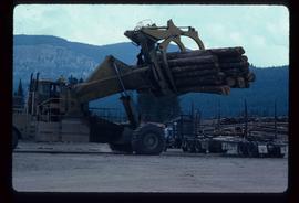
Image depicts a piece of heavy machinery lifting numerous logs off the back of a logging truck. It is likely located in Prince George, B.C.
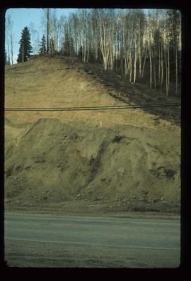
Image depicts a small slope on Carney Hill in Prince George, B.C.
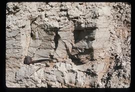
Image depicts an example of varves, an annual layer of sediment or rock, with a pipe used for reference size. It is possibly located at the airport in Prince George, B.C.
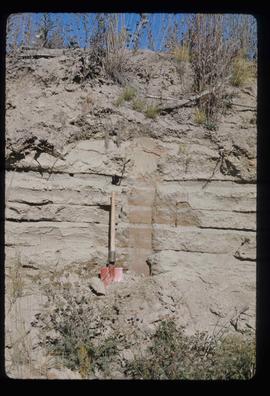
Image depicts sand beds with a shovel present for size reference. The slide places it at the "BCR site," possibly in Prince George, B.C.
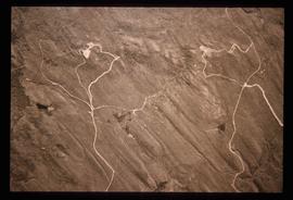
Image depicts grooving on Tabor Mountain in Prince George, B.C.
Image depicts grooves on Tabor Mountain in Prince George, B.C.
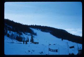
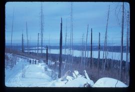
Image depicts the slopes of Tabor Mountain in Prince George, B.C.
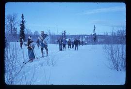
Image depicts numerous skiers on the Birchleg Ski route on Tabor Mountain in Prince George, B.C.
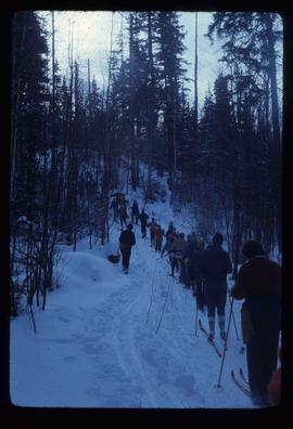
Image depicts numerous skiers cross-country skiing on a trail through trees on the Birchleg Ski route on Tabor Mountain in Prince George, B.C.
Image depicts a view of the area around Tabor Mountain in Prince George, B.C.
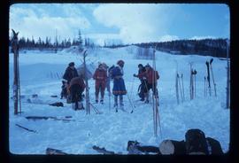
Image depicts numerous skiers and skis that are standing upright in in the snow on Tabor Mountain in Prince George, B.C.
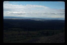
Image depicts a view of the landscape surrounding Tabor Mountain in Prince George, B.C.
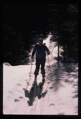
Image depicts an unidentified man cross country skiing somewhere on Tabor Mountain in Prince George, B.C.
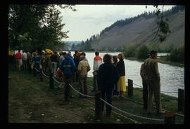
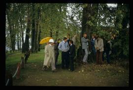
Image depicts a large crowd of people on a section of the Heritage Trail on Cottonwood Island in Prince George, B.C.
Image depicts a crowd of people in Cottonwood Park in Prince George, B.C.
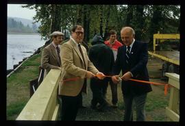
Image depicts Elmer Mercier, a former mayor of Prince George, B.C., cutting the ribbon to open Cottonwood Park's Heritage Trail.
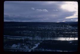
Image depicts a view of Prince George from the cutbanks.
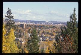
Image depicts a view of Prince George from Carney Hill.
Image depicts power lines east of the pulp mills in Prince George, B.C.
Image depicts the flows from a pulp mill in Prince George, B.C.
Image depicts an esker at the Foothills Boulevard in Prince George, B.C.
Image depicts a view of Prince George from Gunn Point in the L.C. Gunn Park looking north. Map coordinates 53°54'26.2"N 122°43'35.8"W.
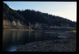
Image depicts the cutbanks on the other side of the Nechako, taken from the nature trail at Island Cache. Map coordinates 53°55'34.6"N 122°45'52.4"W
Image depicts the cutbanks on the other side of the Nechako, taken from the nature trail at Island Cache. Map coordinates 53°55'34.6"N 122°45'52.4"W
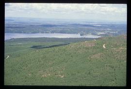
Image depicts a view over Tabor Mountain.
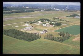
Image depicts a view of an experimental farm, possibly taken from Tabor Mountain.
Image depicts Prince George, possibly with the Northwood Pulpmill in the background.
Image depicts the Fraser River at Paddlewheel park, with a train on the other side of the river, in Prince George B.C.
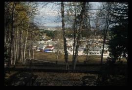
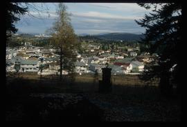
Image depicts a Prince George residential area from the viewpoint of the Ginter Property.
Image depicts a Prince George residential area from the viewpoint of the Ginter Property.
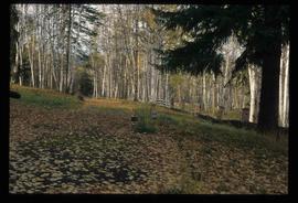
Image depicts the Ginter Property in Prince George, B.C.
Image depicts an area of cut trees at Island Cache.
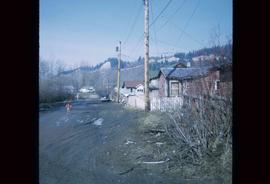
Image depicts numerous houses, and an unknown child standing in a street at Island Cache.
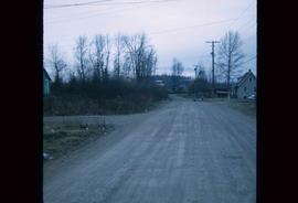
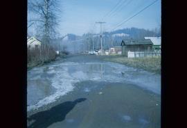
Image depicts a street in Island Cache.
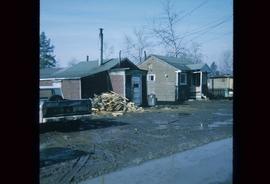
Image depicts a few houses in Island Cache.
Image depicts a street in Island Cache.
Image depicts Cottonwood Island.
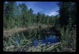
Image depicts a small stream somewhere on Cottonwood Island.
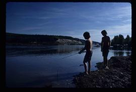
Image depicts two youths fishing from the bank of the Nechako River on Cottonwood Island.
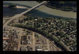
Image depicts Ash Street and Patricia Boulevard in Prince George, B.C.
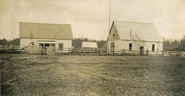
Photograph depicts a large white building surrounded by a fence.
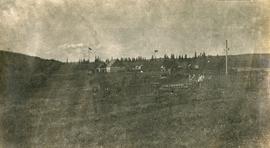
Photograph depicts Lheidli T'enneh Nation burial grounds in foreground, Hudson Bay Company buildings in background.
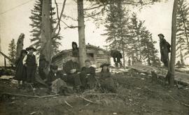
Photograph depicts six adults and three or more children sitting on the ground with a log cabin in the background. Snow scatters the ground in small patches.
Photograph depicts twenty-eight or more people standing on the river's edge, a stack of wood is ready for loading on the steamer that is anchored near the shore.
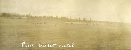
Photograph depicts several people in a large field. There are buildings and trees in the background.
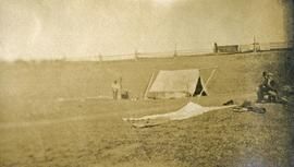
Photograph depicts a tarp spread out on the grass, two men sit nearby the tarp. There is a canvas tent in the background with a man standing beside it. Behind the tent is a low hill with a fence bordering the top of the hill. There are blankets drying on the fence.
Photograph depicts a view from a high hill, looking down on the Nechako river. There is forest and low rolling hills in the background.
