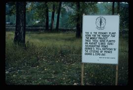
Image depicts a the Cottonwood Island Nature Park sign and map in Prince George, B.C.
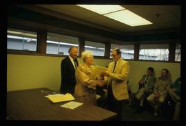
Image depicts a man and woman shaking hands in a building at an uncertain location, possibly in Cottonwood Park. The man standing behind the two is possibly Elmer Mercier, a former mayor of Prince George, B.C.
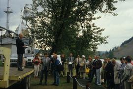
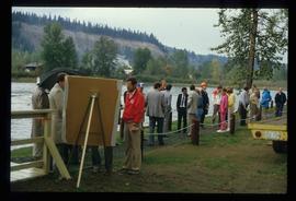
Image depicts a group of people in Cottonwood Park with an individual, possibly former mayor Elmer Mercier, making an announcement.
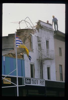
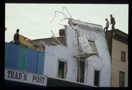
Image depicts the demolition of the Europe Hotel in Prince George, B.C.
Item consists of transcript of interview with Jessie Sugden, author of "In the Shadow of the Cutbanks" discussing her new book. Interview was on the radio show "Dialogue" for B.C.F.M.
Harkins, BobTourist map of Prince George depicts city area, with annotations by Davies to emphasize locations of rail lines.
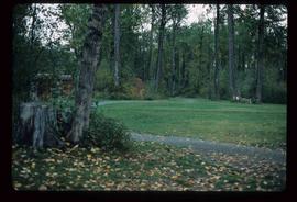
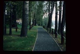
Image depicts a section of the Heritage Trail in Cottonwood Park.
Image depicts a the Cottonwood Island Nature Park sign and map in Prince George, B.C.
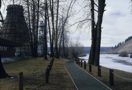
Image depicts a section of the Heritage Trail on Cottonwood Island in Prince George, B.C.
Image depicts a crowd of people on a section of the Heritage Trail on Cottonwood Island in Prince George, B.C.
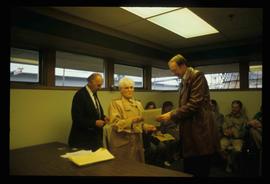
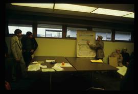
Image depicts a woman holding a sheet of paper in a room with numerous other unidentified individuals. The man standing behind her is possibly Elmer Mercier, a former Mayor of Prince George, B.C.
Image depicts the demolition of the Europe Hotel in Prince George, B.C.
File contains slides depicting maps and site plans for the city of Prince George.
Image depicts a group of trees in the Cottonwood Park, with a sign which reads: "This is the primary plantation for the 'Forest for the World' project. These trees were planted on August 5, 1985, commemorating Prince George's 70th birthday by the citizens of Prince George & Expo 86'."
Image depicts a man holding up a board which appears to have maps of the Cottonwood Park on it.
Item consists of transcript and tape summary of analog recording of interview with Bill Woycik and Howard Foot on the history of the Recreational Services Division of City of Prince George. Includes information on various events hosted including aquatic, circus and sports events c.1958-c.1986.
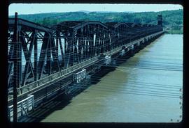
Harkins, BobImage depicts a bridge in Prince George, B.C.
Image depicts a nature trail in Cottonwood Island Park by a beehive burner. Map coordinates 53°55'23.6"N 122°43'53.8"W
Item consists of transcript and tape summary of interview with Catholic Bishop Fergus O'Grady on his retirement as Bishop of the local Catholic Diocese of Prince George. Discusses also the Oblate Missionary Order and their history in Northern British Columbia. Also discusses the founding of the Prince George College.
Harkins, BobImage depicts an aerial view of Fort George Park.
Item consists of transcript of interview with Ambrose Trick discussing the sawmilling and logging industry in Northern BC, c.1930s-1950s including the 1953 strike; the creation of the Northern Interior Lumbermen's Association. Trick also discusses his involvement in railway work, his involvement with hockey in Prince George and discusses Prince George politics, prominent personalities in the North.
Harkins, BobItem consists of transcript of interview with writer, film maker, and guide outfitter Andy Russell conducted by Bob Harkins at Prince George Radio Station, CJCI regarding Russell's experiences with guiding in Northern Rockies. Russell also discusses his new work The Life of a River and discusses the environmental impact of hydro-electric development on rivers
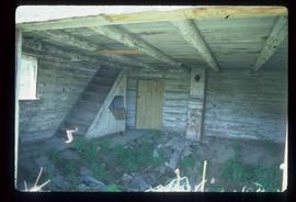
Harkins, BobImage depicts the interior of an abandoned, deteriorating cabin on Blackwater Road.
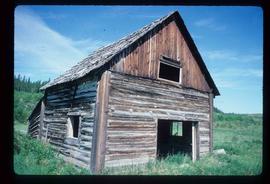
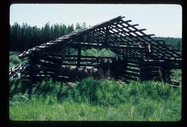
Image depicts an abandoned, deteriorating cabin on Blackwater Road.
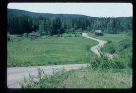
Image depicts an abandoned cabin and shed on Blackwater Road.
Subseries consists of television recordings of UNBC news collected by the UNBC Office of Communications.
Recording consists of CKPG Television archive news footage from 1987-May 1992.
File contains a possible photocopied excerpt (pages 14-47) from "A Field Guide for the Identification and Interpretation of Ecosystems of the SBSj1 in the Prince George Forest Region", which was a 1987 unpublished BC Ministry of Forests report by C. DeLong, S. Jenvey and A. McLeod.
Fonds consists of records held by the Board of Governors relating to the history of the University of Northern British Columbia and the operations of its Board of Governors. Includes records relating to the Interior University Society, the Interim Governing Council and its committees, the Prince George Campus Committee, the Executive Committee, and the Endowment Investment Committee. Also includes Board of Governors meeting minutes and financial records.
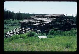
University of Northern British ColumbiaImage depicts a shed on Blackwater Road.
Image depicts a shed on Blackwater Road.
Collection consists textual material, objects, and ephemera related to the history of the University of Northern British Columbia.
University of Northern British ColumbiaSeries contains textual material and publications related to UNBC's history.
File consists of Access to Advanced education & Job Training in BC Report - Sept. 1988
Map depicts to Canadian federal electoral districts for the 1993 federal election.
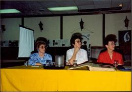
Photograph depicts Moran seated between two unidentified women at table with pitcher and large open book in front of them. Projection screen stands midground, banners hang on wall in background. Photograph taken during a three day meeting of the B.C. Council of the Canadian Federation of University Women, to honour the 25th anniversary of the Prince George club, and release the new edition of their book 'Prince George Street Names: Our History'. Handwritten annotation on recto of photograph: "4-5 Conf".
File consists of a bound copy of "A Degree Granting Institution For Northern British Columbia" report.
File consists of Task Force To Review Northern Post Secondary Education
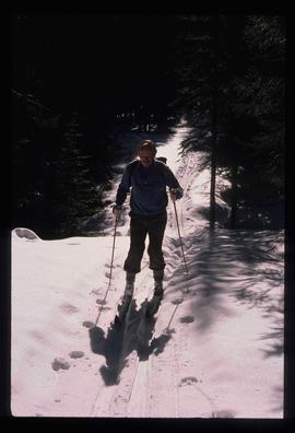
Image depicts an unidentified man cross country skiing somewhere on Tabor Mountain in Prince George, B.C.
Image depicts the cutbanks on the other side of the Nechako, taken from the nature trail at Island Cache. Map coordinates 53°55'34.6"N 122°45'52.4"W
Image depicts the cutbanks on the other side of the Nechako, taken from the nature trail at Island Cache. Map coordinates 53°55'34.6"N 122°45'52.4"W
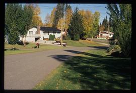
Image depicts a neighbourhood on the Hart Highway in Prince George, B.C.
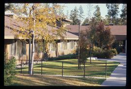
Image depicts Parkside Intermediate Care Home on Ospika Boulevard in Prince George. Map coordinates 53°55'02.6"N 122°47'41.6"W
Image depicts 3rd Ave at Victoria St. Map coordinates 53°55'03.9"N 122°44'54.8"W
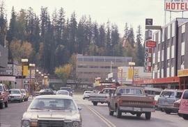
Image depicts George St in downtown Prince George with City Hall in the background. Also visible are the Prince George Hotel and a movie theatre. Map coordinates 53°54'55.0"N 122°44'36.1"W
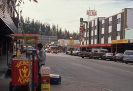
Image depicts George St in downtown Prince George with City Hall in the background. Also visible are the Prince George Hotel, Ming's Inn Chinese Restaurant, Fraser Stationers Ltd., Weiner King food cart, and a movie theatre. Map coordinates 53°54'55.0"N 122°44'36.1"W
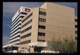
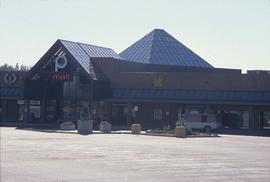
Image depicts Pine Centre Mall in Prince George, B. C. Map coordinates 53°53'53.2"N 122°46'36.4"W
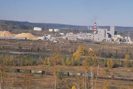
Image depicts the Northwood pulpmill in Prince George B.C.
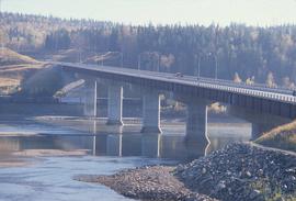
Image depicts the Yellowhead Bridge across the Fraser River. Map coordinates 53°54'45.2"N 122°43'27.9"W
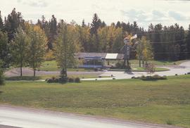
Image depicts Mr. P.G. and the Tourism Information site at the intersection of Highway 16 and 97. Map coordinates 53°53'46.5"N 122°46'00.7"W

