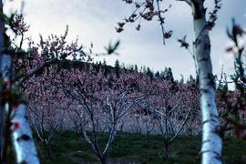
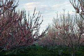
Slide depicts peach trees blossoming in an orchard. Original slide index description: "Peach blossoms Casa Loma."
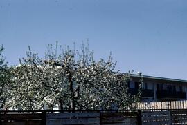
Slide depicts an apple tree blossoming in a backyard. The yard is surrounded by a wooden fence. Original slide index description: "Apple blossoms Kelowna."
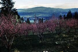
Slide depicts peach trees blossoming in an orchard. Original slide index description: "Peach blossoms Lakeview Heights."
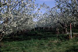
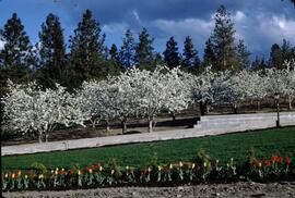
Slide depicts cherry trees blossoming in an orchard. Original slide index description: "Cherry blossoms Lakeview Heights."
Slide depicts peach trees blossoming in an orchard. Original slide index description: "Peach blossoms Shanboolard."
Slide depicts a row of red and yellow tulips in front of a row of blossoming cherry trees. Original slide index description: "Tulips & Chery Blossoms Ok. Mission."
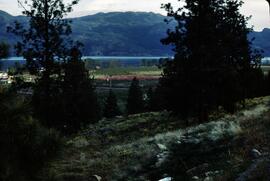
Slide depicts orchards surrounding Mount Boucherie. The Okanagan Lake and mountains can be seen in the background. Original slide index description: "Orchards & sunflowers from Mt. Boucherie."
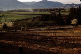
Slide depicts Mission Flats from South East Kelowna. Photograph taken from an empty field and depicts a developed field and a wooden house. Mountains and the Okanagan Lake can be seen in the background. Original slide index description: "Mission Flats from SE Kel."
This fonds illustrates the life and work of G. Gary Runka and his contributions to the province of British Columbia. Gary Runka was the first General Manager of British Columbia's Agricultural Land Commission and helped establish the provincial Agricultural Land Reserve. After transitioning from a government career to private consulting, Runka provided comprehensive professional services through his land consultancy business, G.G. Runka Land Sense Ltd., offering land capability and environmental assessments, integrated resource management, land and water use conflict resolution, and interdisciplinary land use planning. Described by colleagues as one of BC's most highly respected agrologists and influential land use planners, Runka had a 52-year career working on (or against) an incredible number of landmark projects in British Columbia, such as the Site C Project. Gary Runka’s partner in life and vocation, Joan M. Sawicki, worked with Gary on many of these projects—as well as her own; her contributions are also represented throughout the records of this fonds.
Gary Runka's deep connection to the land is evident from his earliest papers on aerial photo interpretation, his work with the Canada Land Inventory, through his speeches and his work establishing the BC Agricultural Land Reserve and in his subsequent consulting career through G.G. Runka Land Sense Ltd. Gary Runka's influence and legacy was recognized in the tributes paid after his death, including the post-humus award as the Real Estate Foundation's "Land Champion" for 2014.
The G. Gary Runka fonds has been divided into the following nine series:
1) Personal Records
2) Speeches & Publications
3) Professional Records
4) Agricultural Land Commission
5) Land Sense Ltd.
6) Client Files
7) Maps
8) Photographs
9) Digital Records
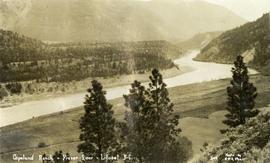
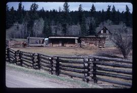
Photograph depicts the Copeland ranch on a bench of the Fraser River in Lillooet, BC.
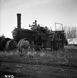
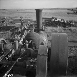
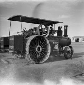
Photograph depicts a Sawyer Massey traction engine in Nanton, Alberta. The device parallel and topside of the boiler to heat feed water. The water tank is small so it must have had a water cart in constant attendance.
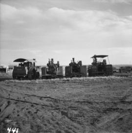
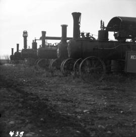
Photograph depicts a rear view of 4 of the 6 traction engines in Nanton, Alberta. The left engine was built by Reeves and Co. in Columbus, Indiana, U.S. Its identification is #4438, it has 2 cylinder simple, and a roof. The next engine was built by Waterloo Mfg. Co. Ltd. in Waterloo, Ontario and has a single cylinder. The third engine was built by Sawyer Massey. The engine on the right side is a Gaar Scott, built in 1913, and has 25 horsepower on the drawbar and 75 horsepower on the belt.
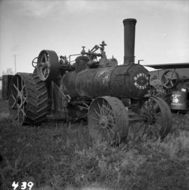
Photograph depicts a traction engine built by Sawyer Massey in Hamilton, Ontario. It has a single cylinder and large fire box for burning wood or straw. The engine is located in Nanton, Alberta.
Photograph depicts a Sawyer Massey steam engine in Nanton, Alberta. It was built in Hamilton, Ontario. It has a single cylinder and large fire box for burning wood or straw.
Photograph depicts traction engines owned by Jack Burrows in Nanton, Alberta. There are six in this photo, all of which appear could be steamed, another two in derelict condition, and one in the village in working order. Running from front to rear in the photo: 1) Reeves with roof, U.S. 2) Waterloo, Ontario, Canada 3) Massey, Canada 4) Gaar Scott with roof, U.S. 5) Massey, Hamilton, Canada 6) Gaar Scott, U.S.
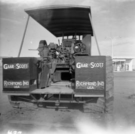
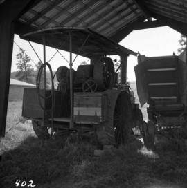
Photograph depicts the rear view of the Gaar Scott traction engine parked at Texcoc Station in Nanton, Alberta. The rear wheels have a 2'9" tread. It was used on farms for haulage, threshing, chaff cutting etc., but not plowing.
Photograph depicts a Gaar Scott traction engine in working order, steamed twice a year at least. It was built by the M. Rumely Co. in Richmond, Indiana, U.S. The engine is a #16541, has 25 horse power, and 2 cylinders. It was photographed at Texaco Station in Nanton, Alberta. It was owned by Jack burrows of Nanton.
Photograph depicts a traction engine at a ranch on Nicola Lake, near Merritt. The engine was made by Nichols-Shepard Co. at Battle Creek, Michigan and named the "Red River Special." It is undated and has 2 cylinders, side tanks, 16-10 horse power, wood burner, firebox 5 ft. long.
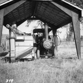
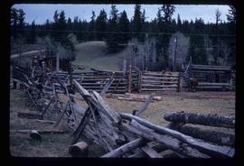
Photograph depicts a ranch at the upper and east end of Nicola Lake, 20 miles northeast of Merritt. It has a steam traction engine and thresher, last used agriculturally about 10 years ago. Steamed and moved in 1964 for C.B.C.
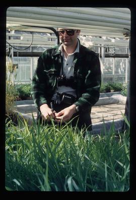
Image depicts an unidentified man in a greenhouse, possibly somewhere in Fort St. John, B.C.
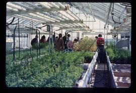
Image depicts a group of unidentified individuals in a greenhouse, possibly somewhere in Fort St. John, B.C.
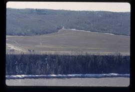
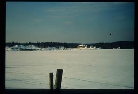
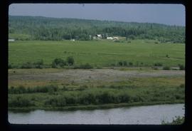
Image depicts what is possibly the Peace River running next to some farm land at an uncertain location.
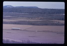
Image depicts a view of some farm land in Chetwynd, B.C.
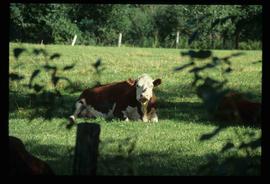
Image depicts a cow at an uncertain location.
Image depicts the dairy farm in Giscome, B.C. Map coordinates 54°03'53.3"N 122°21'22.6"W
Image depicts a barn full of hay and several cows, possibly near Newlands, B.C.
Image depicts the dairy farm in Giscome, B.C. Map coordinates 54°03'53.3"N 122°21'22.6"W
Image depicts the dairy farm in Giscome, B.C. Map coordinates 54°03'53.3"N 122°21'22.6"W
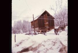
Image depicts a farmhouse in Dome Creek, B.C.
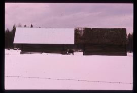
Image depicts a horse and a barn in Dome Creek, B.C.
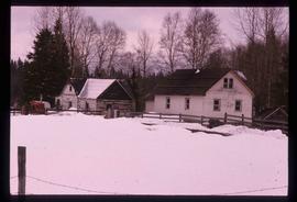
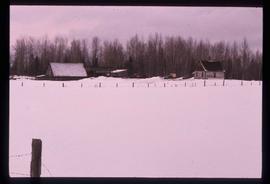
Image depicts a small farm located in Dome Creek, B.C.
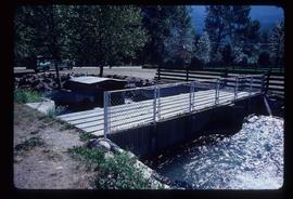
Image depicts a type of gate system for the river water, possibly controlling irrigation, located somewhere in Seton Portage, B.C.
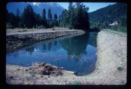
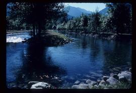
Image depicts what is possibly an irrigation channel somewhere in Seton Portage, B.C.
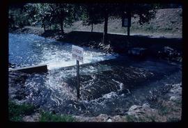
Image depicts water flowing through an irrigation channel in an orchard, somewhere in or near Seton Portage, B.C. There is a sign which reads: "Danger Keep out."
Image depicts water flowing through an irrigation channel in an orchard, somewhere in or near Seton Portage, B.C.
Image depicts a farm in Giscome, B.C.
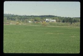
Image depicts a farm at an uncertain location; possibly somewhere in the McGregor Valley.
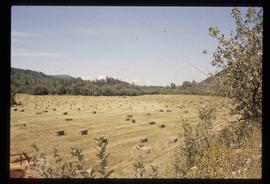
Image depicts a field of hay somewhere in Beaver Valley.
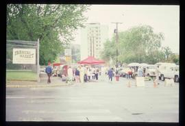
Image depicts a street, possibly in Kamloops, which has been closed for a Sunday morning Farmer's Market.
Image depicts fenced-in cattle on a farm or ranch in Meldrum Creek, B.C.
Image depicts a barnyard of cattle and chicken on a farm or ranch in Meldrum Creek, B.C.
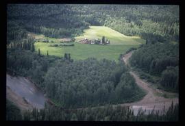
Image depicts an aerial view of what appears to be a small farm, possibly in the McGregor Canyon.
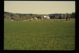
Image depicts a farm at an uncertain location.
Image depicts a farm at an uncertain location.
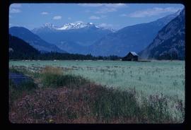
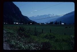
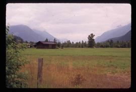
Image depicts a farm near Pemberton, B.C.
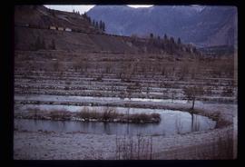
Image depicts rows of water, possibly being irrigation ditches, somewhere in Lillooet, B.C.
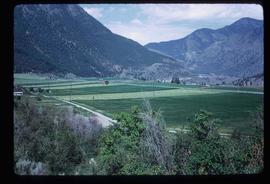
Image depicts some farmland in Lillooet, B.C.
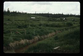
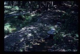
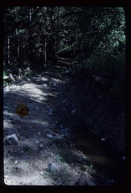
Image depicts an irrigation ditch in Lillooet, B.C.
Image depicts an irrigation ditch in Lillooet, B.C.
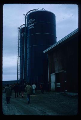
Image depicts a barn with large, Harvestore Systems. It is possibly located on one of the many farms near Vanderhoof, B.C.
