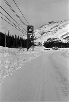
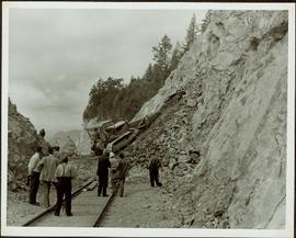
2000.1.1.2.2.27
·
Item
·
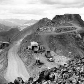
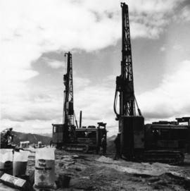
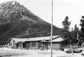
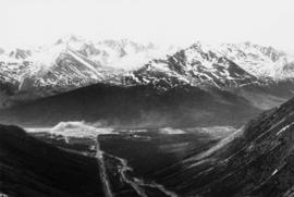
1963
Parte de Cassiar Asbestos Corporation Ltd. fonds
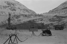
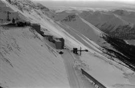
Handwritten caption below this photo reads: "Completed Foundations for Crusher, with forms being stripped." Men can be seen working on site. Switchback road, power lines and tramline towers are believed to be in valley in background.