2020.05.54
·
Item
·
1936
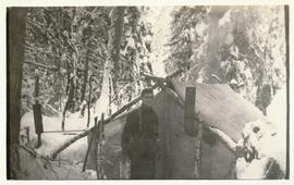
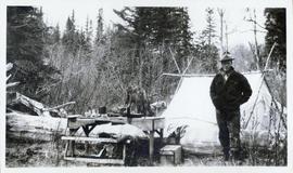
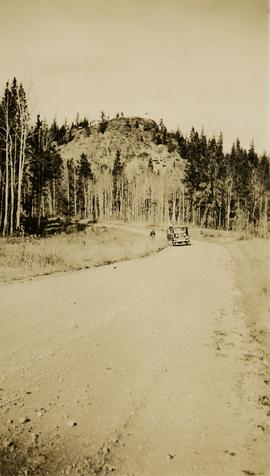
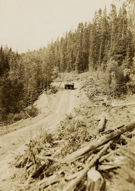
Part of Gordon Wyness Album
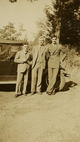
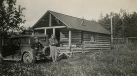
Photograph depicts (from left) Jack Lee and Philip Monckton leaning up against their 1930 Buick Series 40 car before leaving for Southbank Francois Lake. Behind them is the cabin they stayed in at Burns Lake, which was owned by Ben[?] Smith.