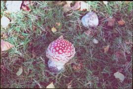
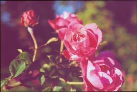
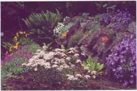
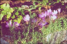
2012.13.1.115
·
Subseries
·
[between 1978 and 1982]
Part of J. Kent Sedgwick fonds
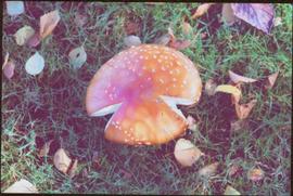
File contains slides depicting closeups of flowers at unknown locations.