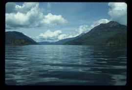
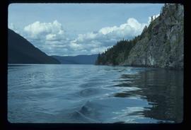
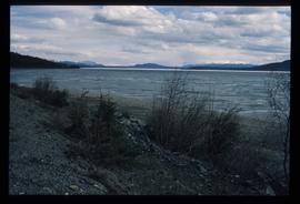
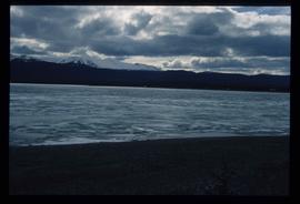
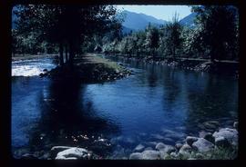
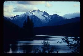
Image depicts the "west arm" of Takla Lake.
Image depicts the "west arm" of Takla Lake.
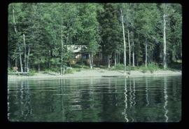
Image depicts a cabin on the "west arm" of Takla Lake.
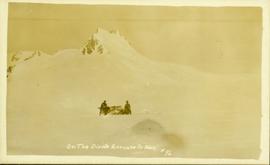
Front view of two men sitting on a pile of supplies with a mountain in the background. Printed annotation on recto reads: "On the Divide Enroute to Naas #96."
Image depicts a lake somewhere along what is possibly the Atlin Road to Atlin, B.C.
Image depicts a lake somewhere along what is possibly the Atlin Road to Atlin, B.C.
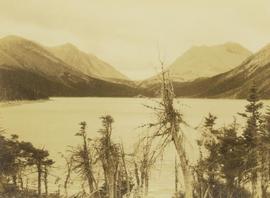
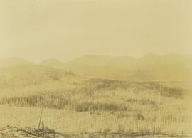
Photograph depicts Onion Lake as seen through a barren tree line. In the background a mountain range surrounds the shores of the lake.
Footage of a "stink box" used in Ooligan grease production in what is assumed to be Bella Coola. Also there is footage of some men fly-fishing on a river shore, either the Bella Coola River or the Dean River. There is a close-up clip of them baiting a hook, and then a shot of the men using gaff and hook to haul fish to shore. The men display their catch for the camera and there is a panoramic view of the mountains behind them. Included are some clips of Robson's deer, and a white robin.
Possible other locations in this film include the Atnarko region, Rainbow Mountains, Ulgoatcho Mountains and Chilcotin area.
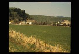
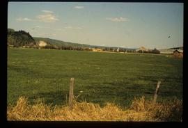
Image depicts an open field and numerous buildings, including a church in Giscome, B.C. Map coordinates 54°04'03.2"N 122°22'04.6"W
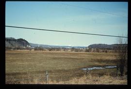
Image depicts a field in Giscome, B.C. On the right side of the image, in the background, is a grey strip that appears to be a mine, possibly the quarry at Eaglet Lake in Giscome, B.C. Map coordinates 54°03'52.9"N 122°22'10.0"W
Image depicts a field in Giscome, B.C. On the right side of the image, in the background, is a grey strip that appears to be a mine, possibly the quarry at Eaglet Lake in Giscome, B.C. Map coordinates 54°03'52.9"N 122°22'10.0"W
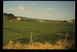
Image depicts an open field and Giscome, B.C. in the background. Map coordinates 54°03'52.9"N 122°22'10.0"W
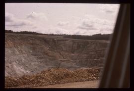
Image depicts an open mining pit at an uncertain location; it is possibly Gibraltar.
File consists of a copy of a Nechako Environmental Enhancement Fund Management Committee report entitled "Options for Passing Flows Through the Cheslatta Fan".
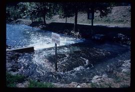
Image depicts water flowing through an irrigation channel in an orchard, somewhere in or near Seton Portage, B.C.
Image depicts water flowing through an irrigation channel in an orchard, somewhere in or near Seton Portage, B.C. There is a sign which reads: "Danger Keep out."
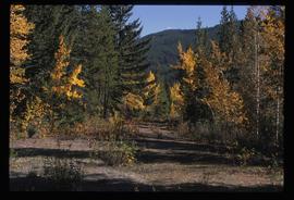
Image depicts an old road through the trees near Yellowhead Pass. The slide labels it as the origin of the Yellowhead highway.
Subseries contains material relating to Dr. Ainley's research on ornithology beginning in Ainley's graduate research and her early post-doc career. This subseries includes drafts of Ainley's Masters thesis "La Professionnalisation De L'Ornithologie Americaine, 1870-1979" (The Professionalization of American Ornithology, 1870-1979) for the University of Montreal and drafts of her PhD thesis "From Natural History to Avian Biology: Canadian Ornithology 1860-1950" for McGill University. Thus subseries also includes materials related to an uncompleted monograph about the history of the first 100 years of the American Ornithologists' Union (AOU). The project was originally proposed to the centennial committee of the American Ornithologists' Union in 1979 and was to be completed by Keir Sterling and Charles H. Blake. Ainley was invited to join the project in 1981, shortly after which Charles Blake passed away. In 1987, the project was abandoned, but was then revived in 2003 for the 125 year anniversary based on a revision of the original manuscript and new additions to cover the period of 1983-2008, before being abandoned for a second time. Subseries also contains the research materials for Ainley's chapter in "Uneasy Careers and Intimate Lives: Women in Science, 1789-1979," entitled, "Field Work and Family: North American Women Ornithologists, 1900-1950." The article details the experience of female ornithologists, focusing on, among others, Margaret Morse Nice and Althea Sherman. Subseries consists of photocopied and hand-copied correspondence between Margaret Morse Nice and Louise de Kiriline Lawrence, between Nice and William Rowan, and between Nice and Althea Sherman.
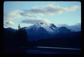
Image depicts the north aspect of Oscar Peak overlooking Lava Lake in the Nass Valley.
Image depicts the north aspect of Oscar Peak overlooking Lava Lake in the Nass Valley.
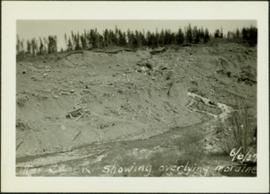
Photograph depicts a shallow creek winding through dirt area, forest in background. Handwritten annotation on verso of photograph: "Otter Creek Showing overlying moraine 6/6/37". See also item 2009.5.2.69.
Photograph depicts exposed asbestos fibre in talus below outcrop. Handwritten annotation on verso of photograph: "Sept 1954."
Photograph depicts a pick hammer hanging from outcrop. Annotations on note glued to recto of photograph: "ASBESTOS"; "Outcrop of fibre bearing serpentine about centre of deposit and vertically over 300 adit on western slope." Areas of image have been labeled "A" and "B". Photo caption under printed copy of image in 1952 Annual Report: "A - indicates asbestos talus. B - indicates asbestos veinlets."
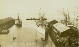
Photograph of several vessels within Victoria's outer wharf. Annotation on recto reads: "Empire Series. Outer Wharf, Victoria, BC."
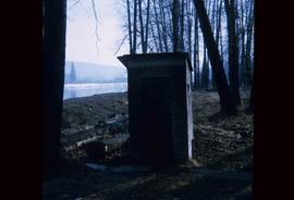
Image depicts what is likely an outhouse at Island Cache.
Image depicts a view over Tabor Mountain.
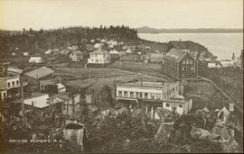
Wide angle photograph of many buildings scattered in a clear cut area. Foreground shows several businesses, including "Kelly Carruther's Supply" and "Prince Rupert Hardware and Supply Co." Some remaining forest is visible in the background. Annotation on recto reads: "Prince Rupert, BC 1659."
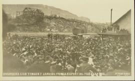
Slightly overhead shot of a large crowd gathered by general store and railroad. Annotation on recto reads: "Overseas contingent leaving Prince Rupert BC Feb 26th 1915. McRae Bros."
Photograph depicts an overview of an old burn site with burnt trees lining a hillside.
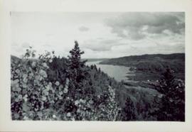
Photograph of various plant life with Eagle Lake visible in the background. Handwritten annotation in pen on verso reads: “Eagle Lake from the top of the bluff. Eagle Lake is about 7 miles long & about 1 mile wide. It is a fair sized lake.”
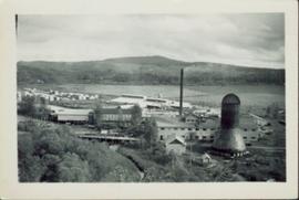
Photographic overview of the Eagle Lake Sawmill. Handwritten annotation in pen on verso reads: “The mill.”
File consists of a reprint of "Overview of Effects of Pacific Coast River Regulation on Salmonids and the Oppurtunities for Mitigation" from the American Fisheries Society Symposium 10.
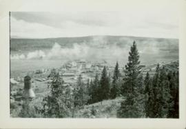
Overhead photograph of Giscome with the Eagle Lake Sawmill's beehive burner clearly visible in left foreground. Handwritten annotation in pen on verso reads: “Part of our community. school * ”
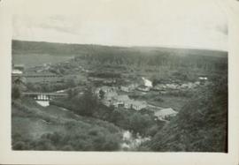
Overhead photograph of Giscome buildings with Eaglet Creek running through the foreground. Handwritten annotation in pen on verso reads: “Notice the flatness of the land. Part of our community.”
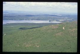
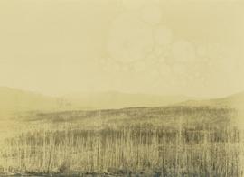
Photograph depicts an overview of a burned landscape with barren trees covering a plateau with mountains in the background.
File consists of an August 1990 copy of a report for the "Overwintering of Juvenile Chinook in the Nechako River, 1989/90 Studies", prepared by Emmett and Convey for Shirvell and DFO.
File consists of a draft copy of a report for the "Overwintering of Juvenile Chinook in the Nechako River, 1989/90 Studies", prepared by Emmett and Convey for Shirvell and DFO. Includes accompanying correspondence regarding the report.
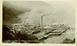
Photograph of a large waterfront factory. Annotation on recto reads: "Pacific Mills, Ocean Falls, BC. No. 2935."
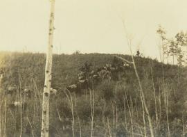
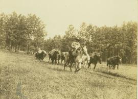
Photograph depicts a pack horse train walking down a grassy hill with a sparse tree line in the foreground.
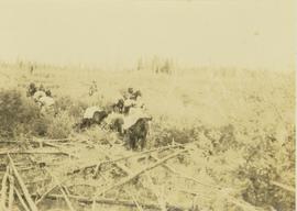
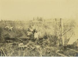
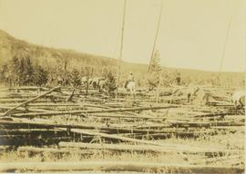
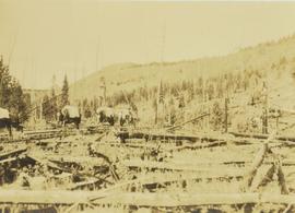
Photograph depicts a pack horse team making its way across a area covered by fallen trees due to windfall.
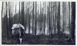
Photograph depicts a pack horse train walking through an unidentified forest fire site.
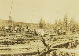
Photograph depicts a pack horse train slowly making its way across fallen trees near Kinooaso Falls.
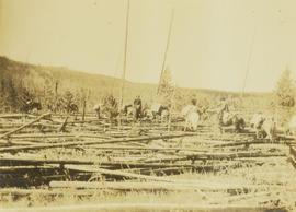
Photograph depicts a pack horse train slowly making its way over an area covered with windfall near Kinoosao Falls.
Photograph depicts a pack horse train slowly moving its way across an area covered with windfall near Kinoosao Falls.
Photograph depicts a pack horse team slowly making their way across an area covered with windfall near Kinoosao Falls. In the background a tree-covered hillside is visible.
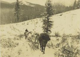
Photograph depicts an unidentified man on horseback is following up the rear of a four horse pack train travelling along a snowy path.
Photograph depicts a pack horse train walking along a grassy trail being led by an unidentified man on horseback. In the background a forested environment is visible.
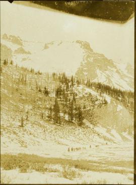
Photograph depicts a train of pack horses walking along a snowy trail across a snow-covered plateau. In the background a tree-covered mountain base is visible with snow-capped peaks rising up in the distance.
