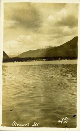
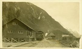
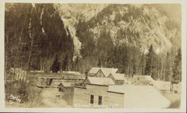
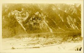
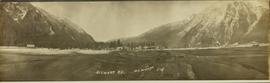
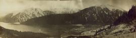
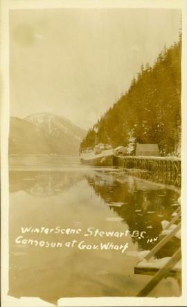
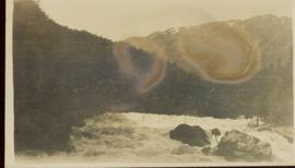
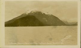
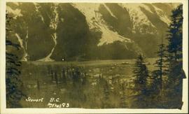
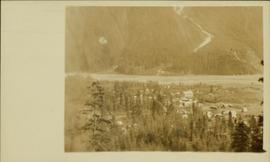
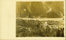
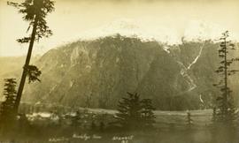
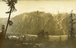
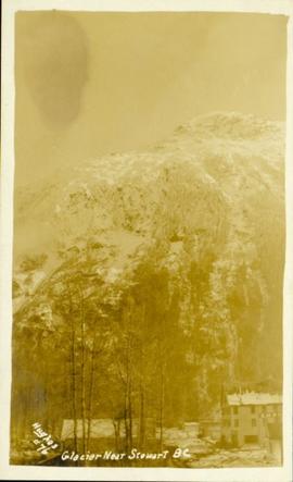
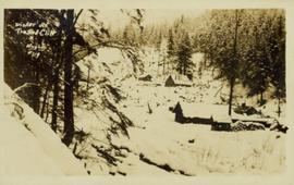
Geographic Features

Elements area

Taxonomy

Code

Scope note(s)

  • Includes both natural and artificial features
  • Physical landscape, built landscape
  • Urban and industrial landscapes
  • Topography
  • Site plans
  • Boundaries, districts, reserves, parks, sanctuaries, towns, etc.
  • NOTE: Mainly but not exclusively pertaining to photographic and cartographic records
  • SEE ALSO: Land, Settlement and Immigration

Source note(s)

  • MemoryBC Subject Groups

Display note(s)

    Hierarchical terms

    Geographic Features

      Equivalent terms

      Geographic Features

        Associated terms

        Geographic Features

          72 Archival description results for Geographic Features

          Stewart House
          2012.13.1.83.09 · Item · 1979
          Part of J. Kent Sedgwick fonds

          Image depicts the Robert Stewart house, built in 1910 and inhabited by the Stewart family until 1945. It is located in Stewart, B.C.

          Stewart - Houses
          2012.13.1.83.10 · Item · 1979
          Part of J. Kent Sedgwick fonds

          Image depicts several houses in Stewart, B.C. A section of Mt. Shorty Stevenson is visible in the background.

          Snow slide in Stewart, BC
          2011.13.56 · Item · 7 July 1911
          Part of Parker photograph collection

          Street view photograph of two individuals watching the snow slide down one of the mountains surrounding Stewart, BC. Printed annotation on recto reads: "Snow Slide Stewart B.C. July 7/11."

          Snow slide in Stewart, BC
          2011.13.35 · Item · 7 July 1911
          Part of Parker photograph collection

          Street view photograph of two individuals watching the snow slide down one of the mountains surrounding Stewart, BC. Printed annotation on recto reads: "Snow Slide Stewart B.C. July 7/11."

          2011.13.53 · Item · 9 August 1911
          Part of Parker photograph collection

          Side perspective photograph of a Portland Canal Short Line engine being either loaded or unloaded by several men at the station in Stewart, BC. Printed annotation on recto reads: "Aug 9 1911 Stewart BC."

          Parker photograph collection
          2011.13 · Collection · [between 1910 and 1930]

          The photographs depict the geographic areas of Stewart, BC, Boundary Pass, Nelson River, Bitter Creek Glacier, Portland Canal, Red Cliff and Bear Creek; as well as the ships “Camosun” and “S.S. Prince George.” Types of subjects identified in this collection include: community life, surveying, mining and transportation (i.e. dog-sledding, horse and buggy, and the Portland Canal Short Line Railway “P.C.S.L. Rlwy”).

          Overview of Stewart, BC
          2011.13.21 · Item · ca.1910-ca.1930
          Part of Parker photograph collection

          Photograph of Stewart BC taken from a distance. Trees in the foreground slightly obscure the village, and a large mountain is visible in the background. Printed annotation on recto reads: "Stewart B.C. Hughes 93."

          Mountain behind Stewart, BC
          2011.13.22 · Item · ca.1910-ca.1930
          Part of Parker photograph collection

          Photo of a mountain with what appears to be Stewart, BC at its foot. Printed annotation on recto is partially obscured by fading and reads: "[Illegible] Stewart, BC."

          Mountain behind Stewart, BC
          2011.13.23 · Item · ca.1910-ca.1930
          Part of Parker photograph collection

          Photo of a mountain with what appears to be Stewart, BC at its foot. Printed annotation on recto is partially obscured by fading and reads: "[Illegible] Stewart, BC."

          Main Street
          2012.13.1.83.19 · Item · 1979
          Part of J. Kent Sedgwick fonds

          Image depicts several buildings along the main street in Stewart, B.C. One of them has been boarded up.

          Granduc Townsite
          2012.13.1.83.04 · Item · 1979
          Part of J. Kent Sedgwick fonds

          Image depicts a row of houses in Granduc, near the Granduc Mine and located north of Stewart, B.C.