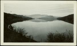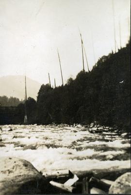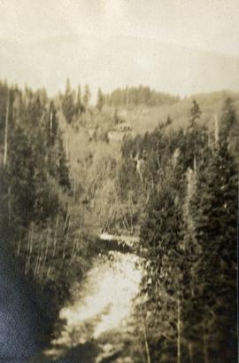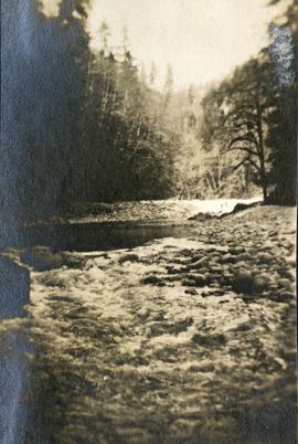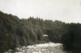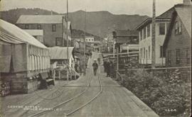
2011.13.06
·
Item
·
ca.1910-ca.1930
Part of Parker photograph collection
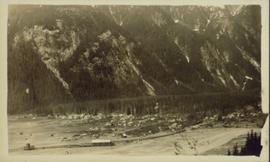
Elevated, wide angle photograph of Stewart, BC with mountains visible in the background.