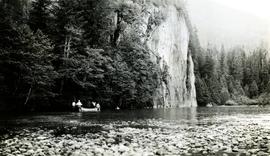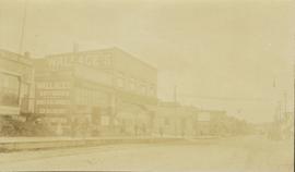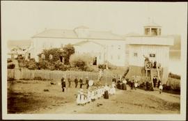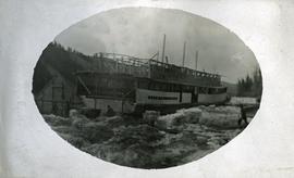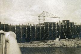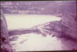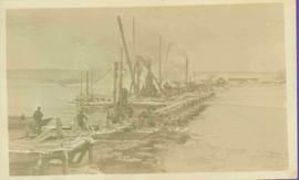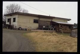
2011.3.3.61
·
Item
·
[ca. 1909-1930]
Part of North Coast & Central BC Postcard Collection
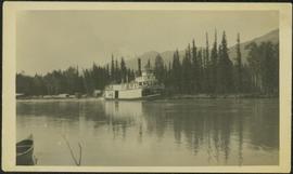
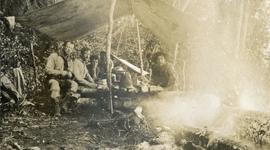
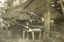
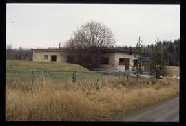
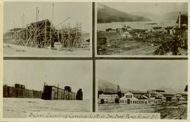
Collection of four photographs of the Prince Rupert dry dock. Two images are the finished dry dock buildings. One image is of construction. Printed annotation on recto reads: "Before Launching Canadian Scottish Dry Dock, Prince Rupert BC."