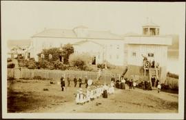
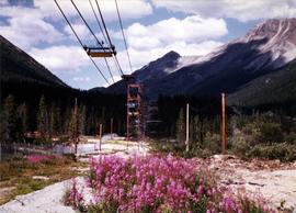
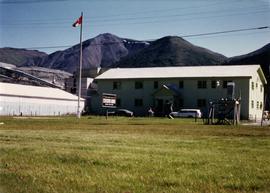
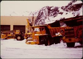
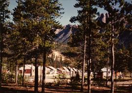
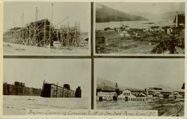
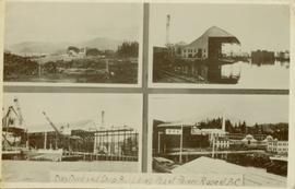
File contains photographs documenting the construction of Cassiar's new mill building. Photos depict early excavation, foundations, framework, construction of all seven stories, sheeting, siding, and roof tarring. Also included are photos depicting the large model of the mill, as well as construction work done on the tramline. Photos taken inside the mill depict flooring work, and milling machinery including feed chutes, screens, fans, wheelabrators, control panels, electrical panels, conveyor systems, vacuum systems, and the fan-driven air system that transported the fiber. Many photos depict construction workers, building supplies, worksites, and equipment including cranes, bulldozers, tractors, hauling trucks and trailer flatbeds. Some photos depict aerial views from the new mill and feature the plantsite, tramline, mine road, mountains, and valley.
Elements area
Taxonomy
Code
Scope note(s)
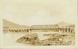
- Includes both natural and artificial features
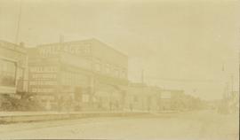
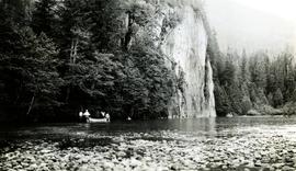
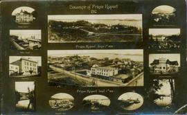
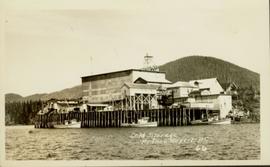
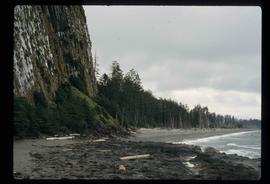
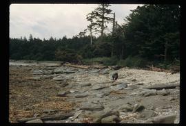
- Physical landscape, built landscape
- Urban and industrial landscapes
- Topography
- Site plans
- Boundaries, districts, reserves, parks, sanctuaries, towns, etc.
- NOTE: Mainly but not exclusively pertaining to photographic and cartographic records
- SEE ALSO: Land, Settlement and Immigration
Source note(s)
- MemoryBC Subject Groups