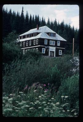
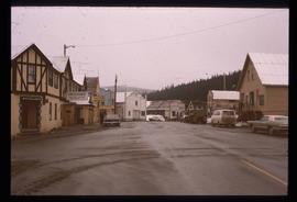
Photograph depicts the old hospital building in Wells. At the time the photo was taken, 1978, it was being used as an apartment building, and that is still its current use.
Wells, BC
10 Archival description results for Wells, BC
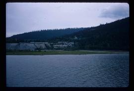
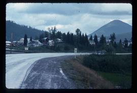
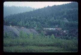
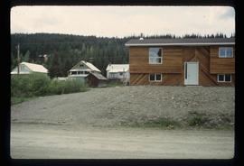
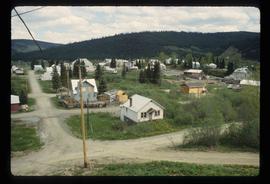
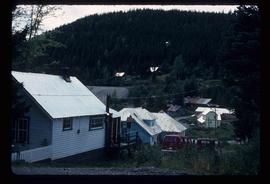
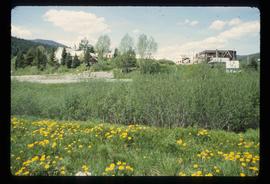
Image depicts Wells, B.C.
Image depicts Wells, B.C.
Image depicts Wells, B.C.
Image depicts Wells, B.C.
Image depicts Wells, B.C.
Image depicts Wells, B.C.
Image depicts Wells, B.C.
Subseries contains material collected and created by Kent Sedgwick for research on various areas in British Columbia and Alberta. Includes written notes by Kent Sedgwick, pamphlets, and newspaper clippings relating to towns and settlements. These areas include Quesnel, Likely, the Yukon Telegraph Trail, Barkerville, Wells, the Cariboo region, Fort Alexandria, Soda Creek, the Chilcotin region, Jasper, the Rocky Mountains, Mackenzie, Tumbler Ridge, the Peace River region, Fort St. James, the Omineca region, Kitimat, Lethbridge, the Bulkley Valley, and Fort Mcleod. These files cover a variety of topics including Chinese people in British Columbia, land settlement, tourism, and historic information on the regions.
Image depicts a street in Wells, B.C. The Wells Hotel is present in the image.
