2013.6.36.1.029.10
·
Item
·
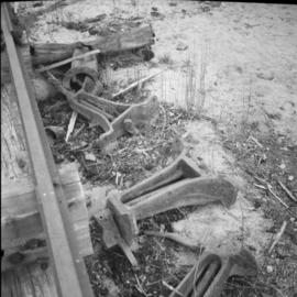
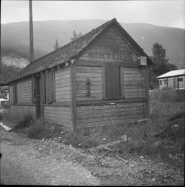
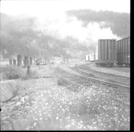
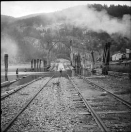
Aug. 1983
Part of David Davies Railway Collection
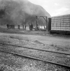
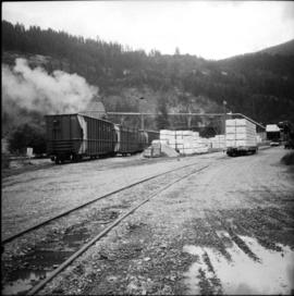
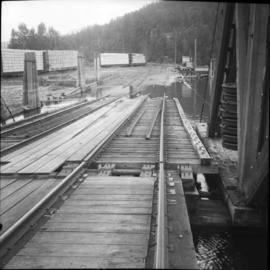
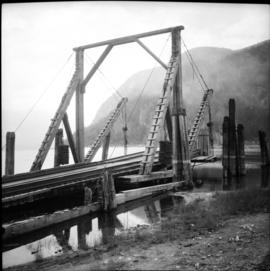
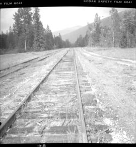
Photograph depicts what is thought to be the Slocan branch line, near Passinae which is at mile 10.8 gtom south Slocan. This is at the point where the rail road and river lie close together. Approximately 20 miles west of Nelson.