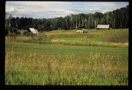
Image depicts several old buildings in a field, one of which has a caved-in roof, in Newlands, B.C. Map coordinates 54°06'28.2"N 122°12'01.0"W
Newlands, BC
19 Archival description results for Newlands, BC
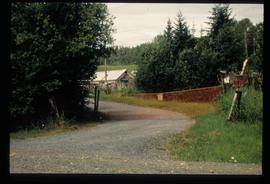
Image depicts a driveway cordoned off by a red mesh material in Newlands, B.C. The address of the house is labelled 31951, and the name listed is "Fauchers." Map coordinates 54°06'47.8"N 122°08'22.4"W
File consists of a transcript of an oral history interview with Arturo Garcia-Alonso.
File consists of an audio recording of an interview with Arturo Garcia-Alonso. Includes two copies of the original recorded audio cassette; the original recording is not held by the archives.
File consists of a transcript of an oral history interview with Buster Brown.
File consists of an audio recording of an interview with Buster Brown. Includes two copies of the original recorded audio cassette; the original recording is not held by the archives
File consists of a transcript of an oral history interview with Joe Rositano.
File consists of an audio recording of an interview with Joe Rositano. Includes one original recorded audio cassette and one copy.
File consists of an audio recording of an interview with John and Bernice Trick. Includes one original recorded audio cassette and one copy.
File consists of a transcript of an oral history interview with John and Bernice Trick.
File consists of a transcript of an oral history interview with Kittil Barlaug.
File consists of an audio recording of an interview with Kittil Barlaug. Includes one original recorded audio cassette and one copy.
File consists of a transcript of an oral history interview with Walter Carlson.
File consists of an audio recording of an interview with Walter Carlson. Includes one original recorded audio cassette and one copy.
Image depicts a barn full of hay and several cows, possibly near Newlands, B.C.
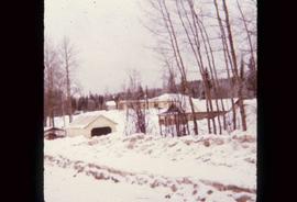
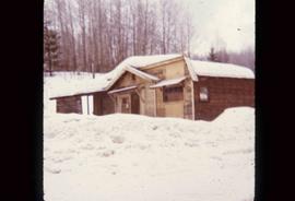
Image depicts what is possibly the community of Newlands, B.C.
Image depicts an old building that was possibly once a gas station in the community of Newlands, B.C.
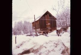
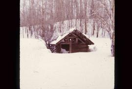
Image depicts an old shack buried in snow, possibly in Newlands, B.C.
The Upper Fraser Historical Geography Project was conducted by UNBC faculty and a team of researchers between 1999 and 2002. The lead researchers were Aileen Espritiu, Gail Fondahl, Greg Halseth, Debra Straussfogel, and Tracy Summerville. The project resulted in the creation of 93 oral history records and their transcripts. Participants included regional forest industry executives, politicians (including former MLA Ray Williston, local mayors and Fraser Fort George Regional District representatives), forest industry workers, and former and contemporary Upper Fraser community residents. The oral histories document the rise, consolidation and demise of the forestry-based settlements along the Upper Fraser River between 1915 and 2000.
