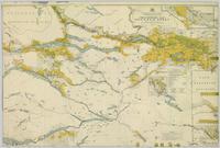
Colour-coded map depicting surveyed lands alienated, reserved, in B.C. Land Settlement Board Area, or open for preemption. Depicts land districts, land recording divisions, communities, bodies of water, transport routes, and communication lines.
Nechako Region, BC
3 Archival description results for Nechako Region, BC
3 results directly related
Exclude narrower terms
2008.2.013
·
Item
·
1926
Part of NBCA Maps and Plans Collection
2008.2.023
·
Item
·
1 December 1942
Part of NBCA Maps and Plans Collection
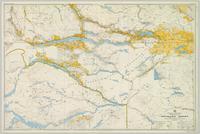
Colour-coded topographic map depicts surveyed lands alienated, available for purchase or lease under Land Act, and available for pre-emption. Depicts land districts, land recording districts, provincial forests, parks, triangulation stations, communities, bodies of water, transport routes, and communication lines.
2002.1.9.1.019
·
Item
·
[ca. 1913]
Part of Prince George Railway & Forestry Museum Collection
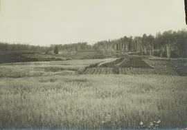
Part of a set of 41 original black & white photographs [1908-1933-?]) of the Grand Trunk Pacific Railway line in BC depicting surveying crews, town sites (Prince Rupert and its port, Hazelton and Fort George), and First Nations Peoples.


